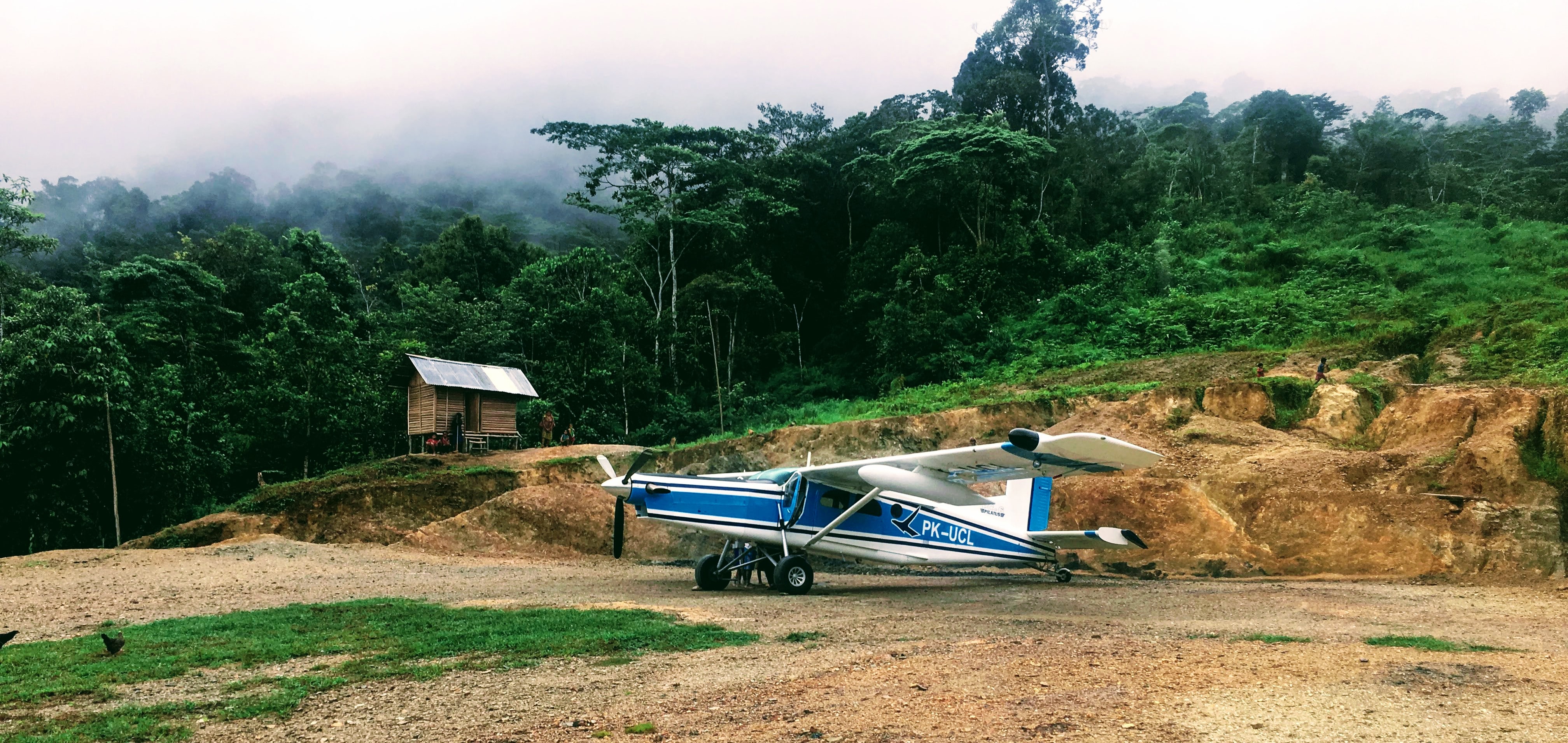
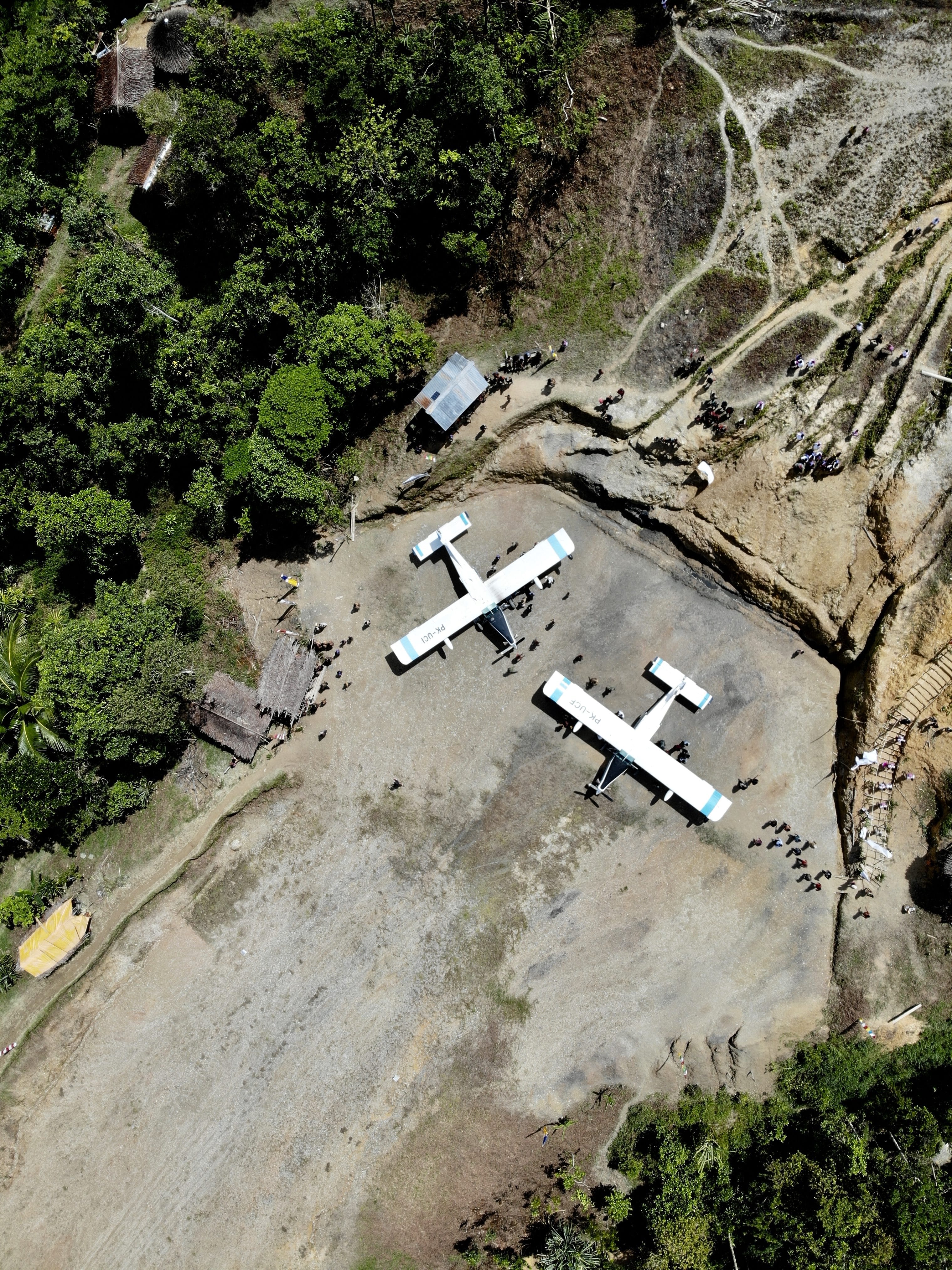
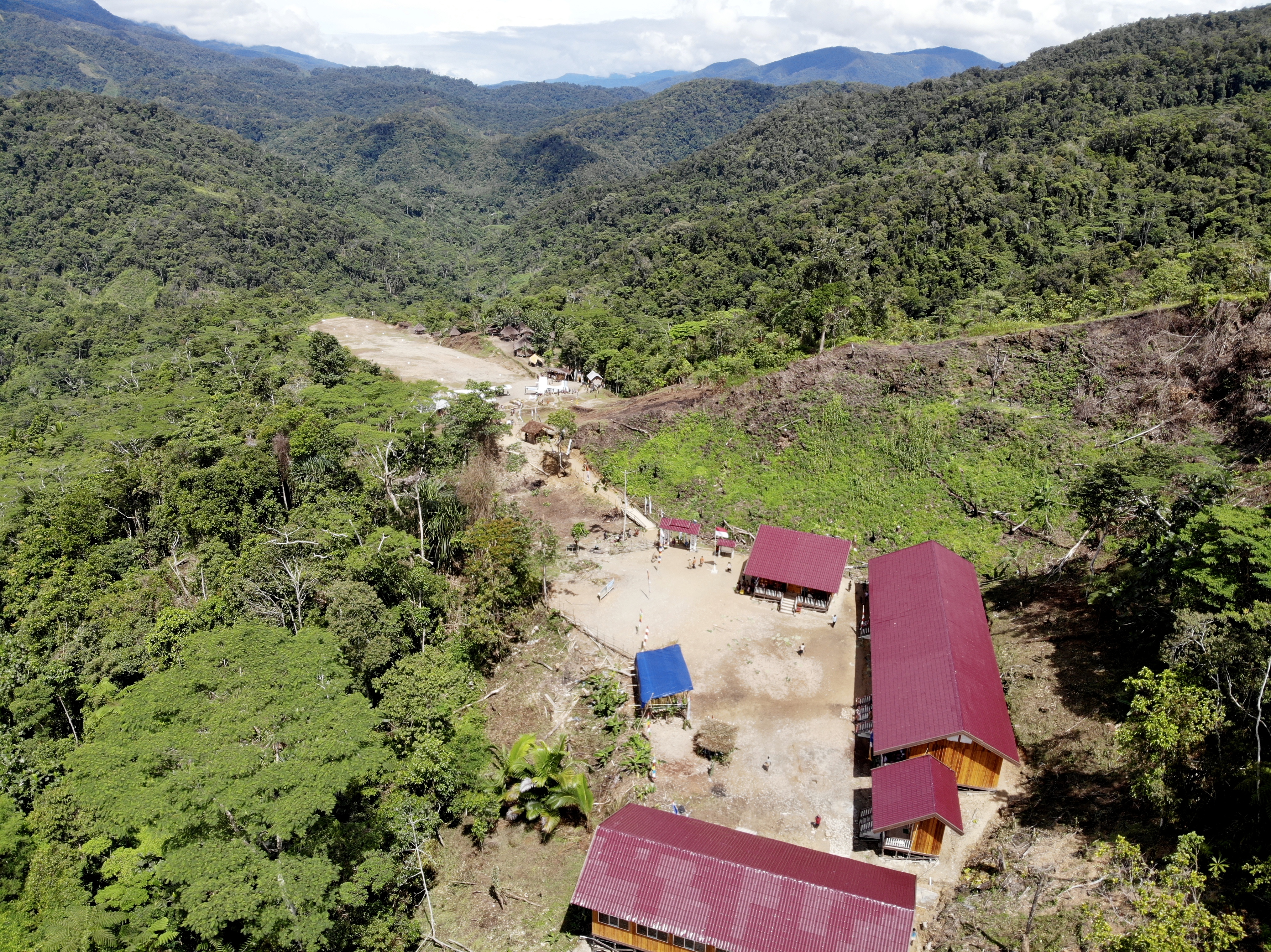
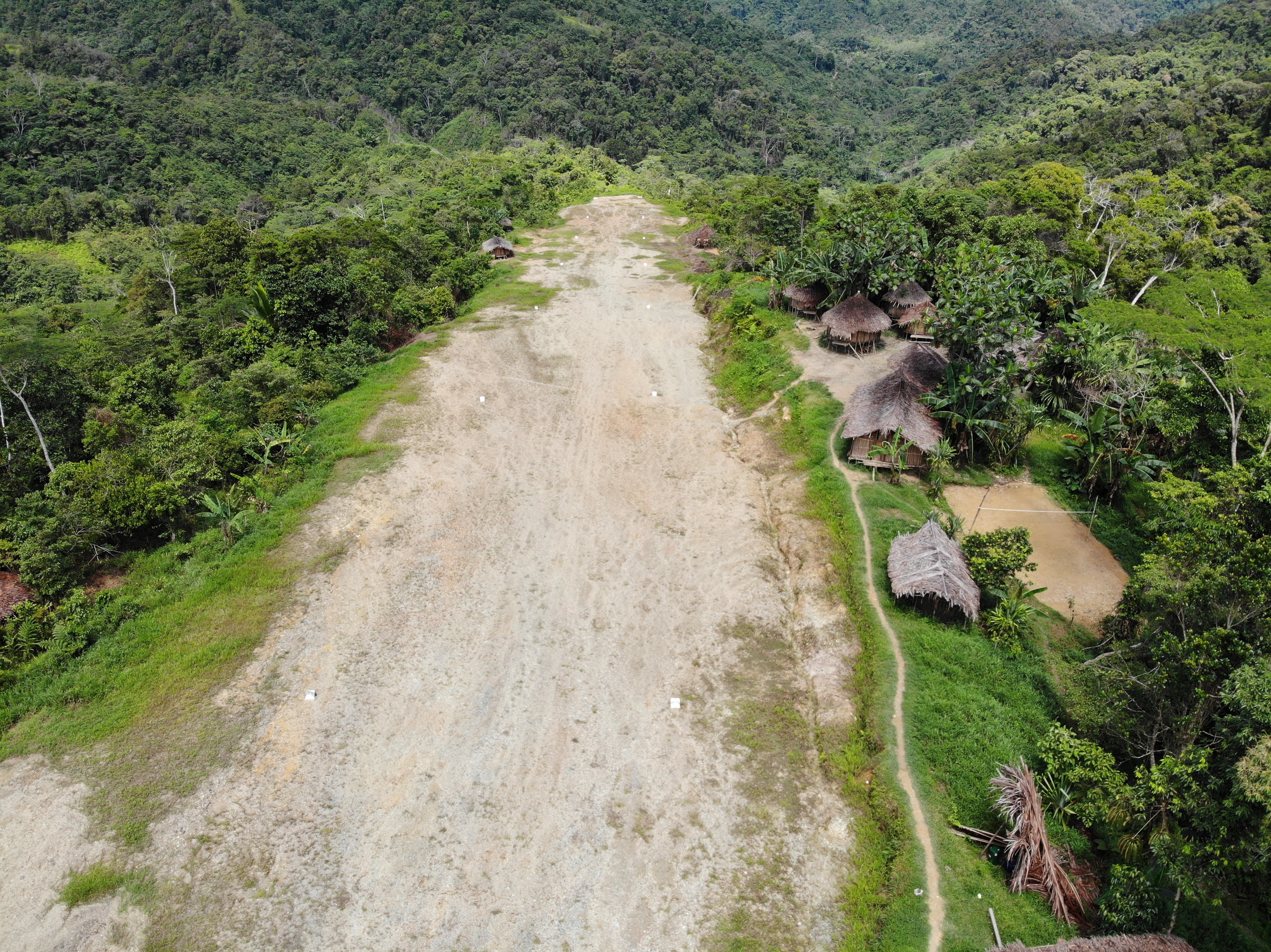
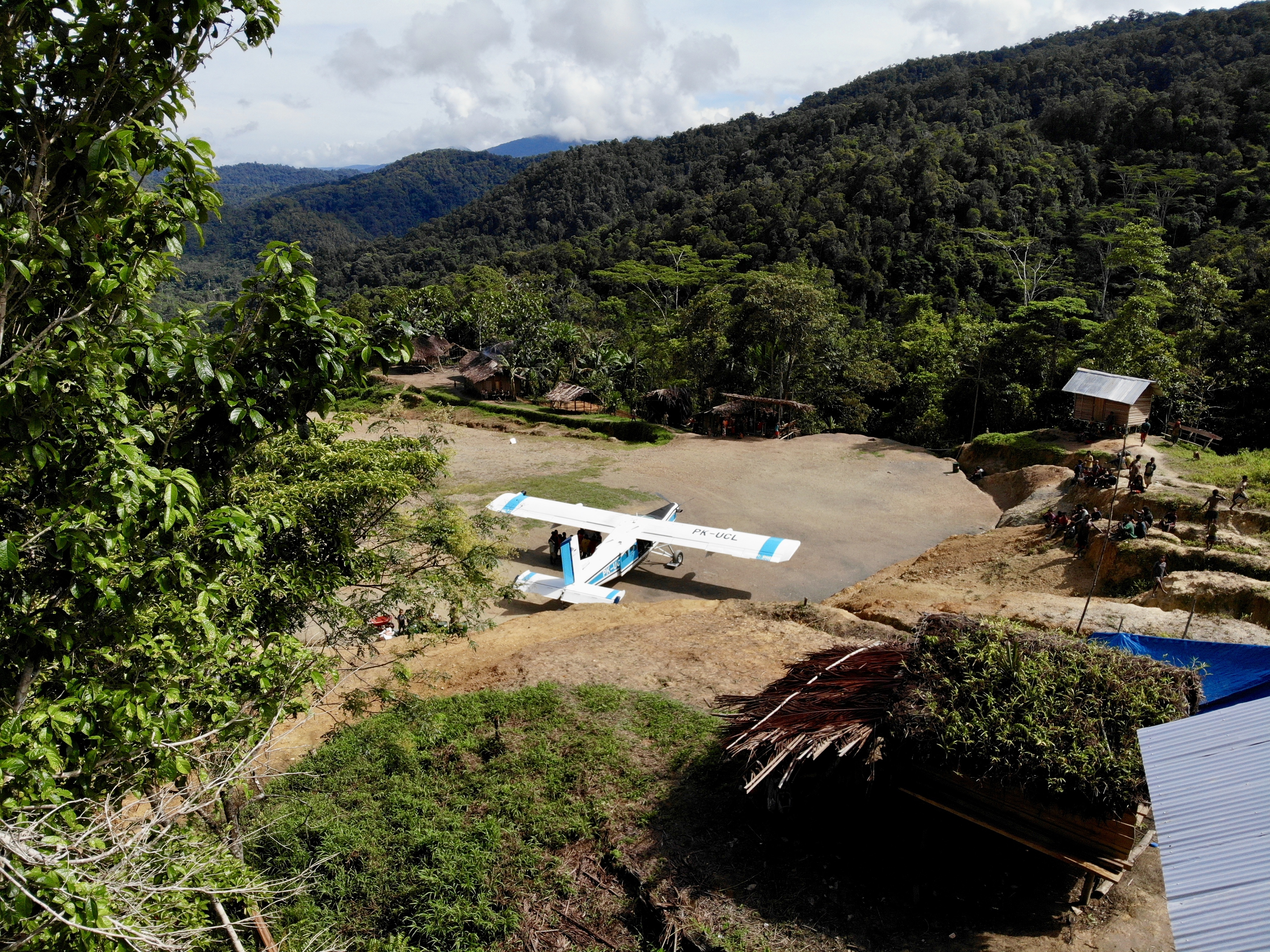
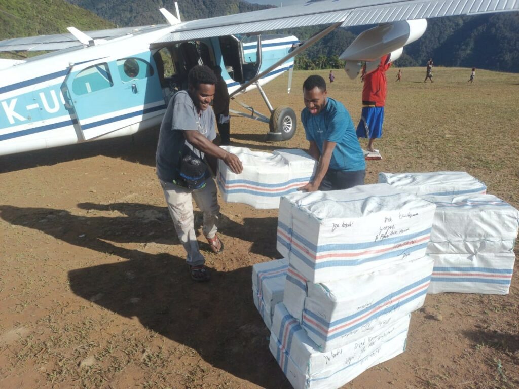
Touchdown Zone: Marbata
Airstrip: Marbata
Region: Papua, Indonesia
Surface: Grass
Elevation: 2,100 feet
Length: 344 meters/1,129 feet
Width: 16 meters/52 feet
Slope: 15% increasing to 19%
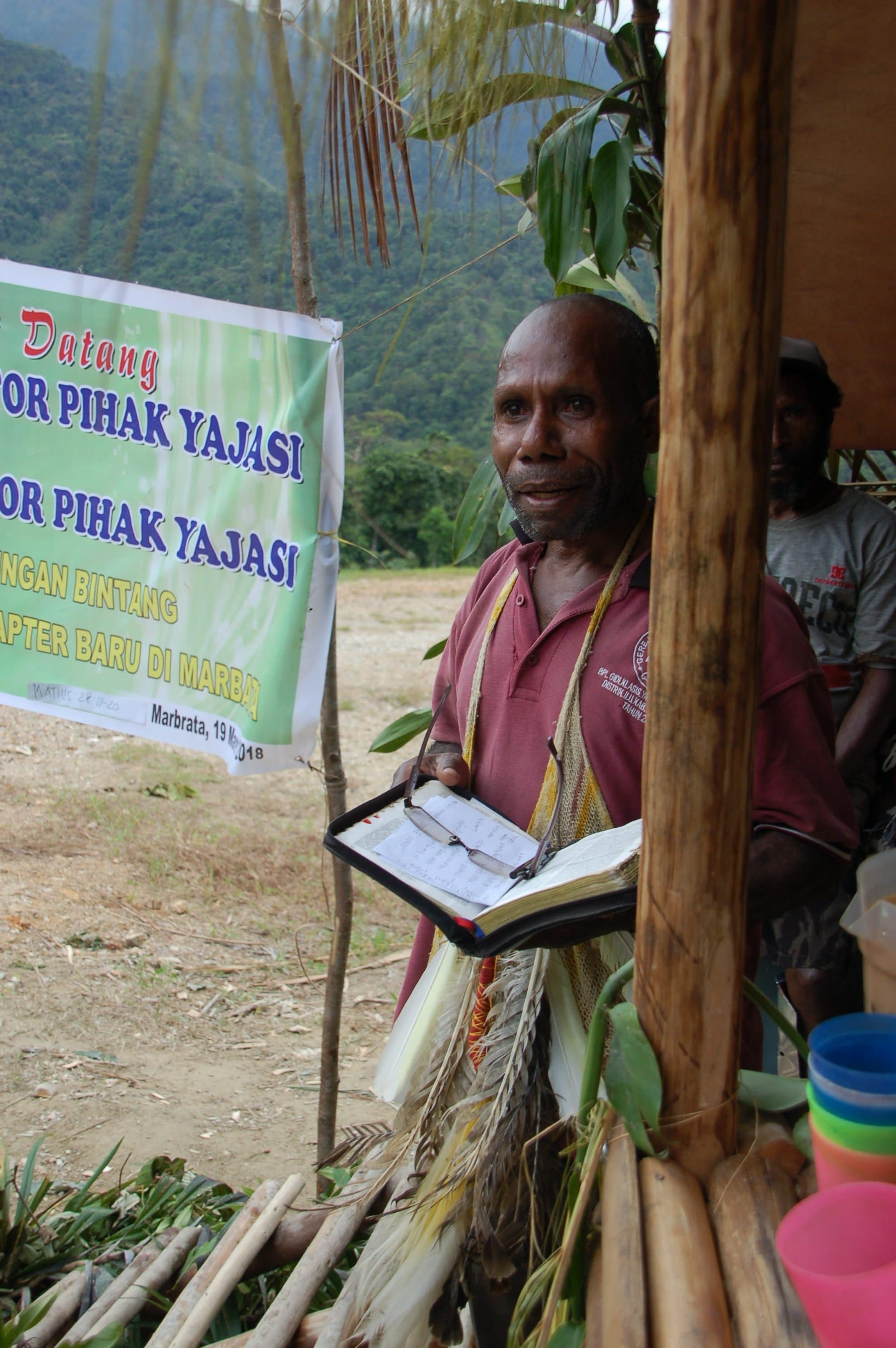
People group served: Ketengban
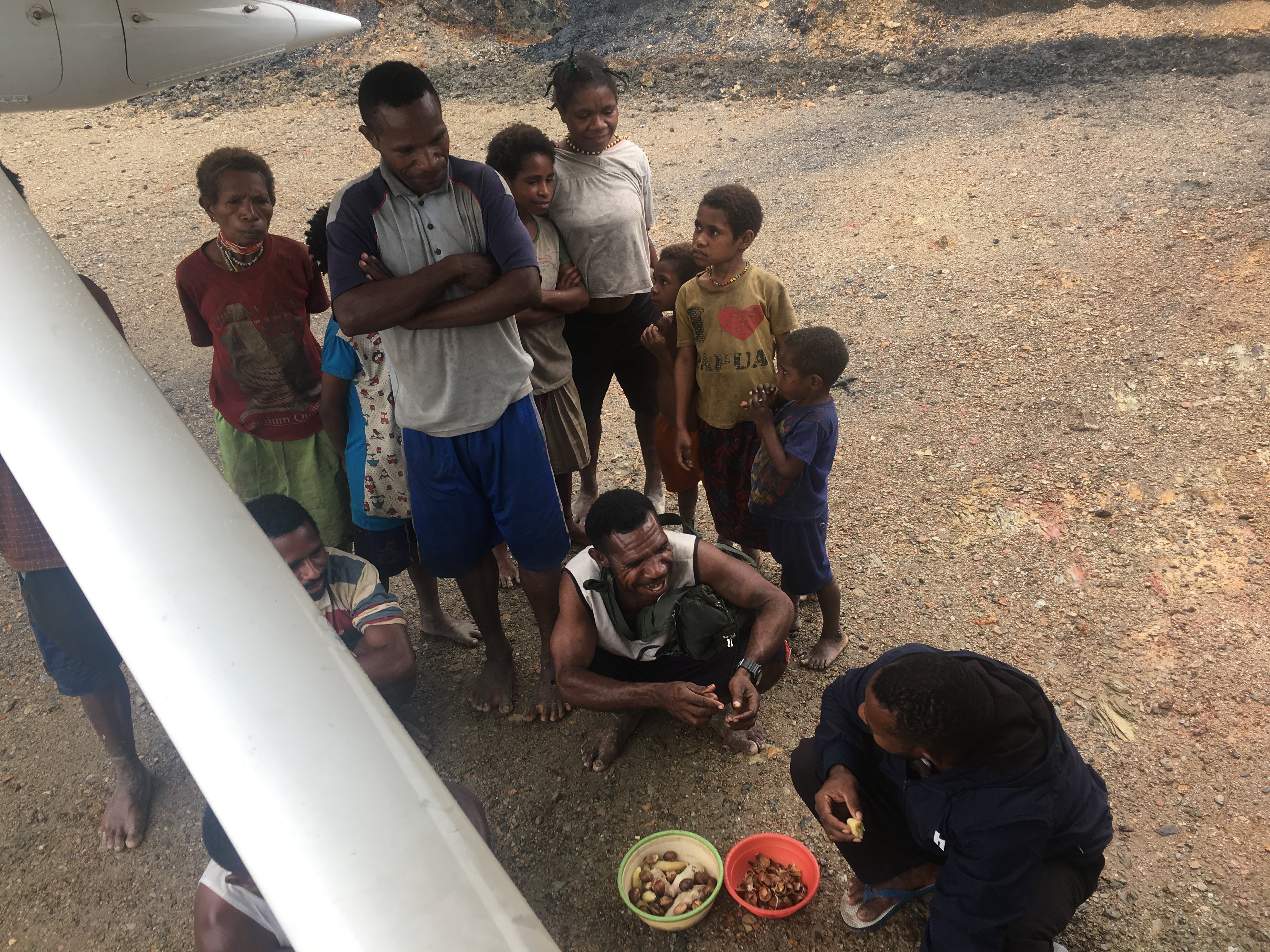
Interesting Fact: The people of Marbata literally moved part of their mountain to build a runway, using only simple hand tools and water. They now have access to supplies, medical help and education. Their isolation from the outside world—eliminated! Read more about the Marbata people here.
Time Saved: From YAJASI’s home base in Sentani to Marbata is a 50-minute flight. Overland travel is virtually impossible due to jungle, swamp, mountains, and rugged terrain void of roads. They have the option of using Omban, the closest runway, a two-minute flight or a hike of four to five hours. Borme, the nearest paved runway, is the closest location with a school, clinic and government center. It’s a four-minute flight or a full day’s walk for a local—maybe two days for a westerner.
Watch a video of Marbata here.
And see the first landing in Marbata here.
View a runway chart here.