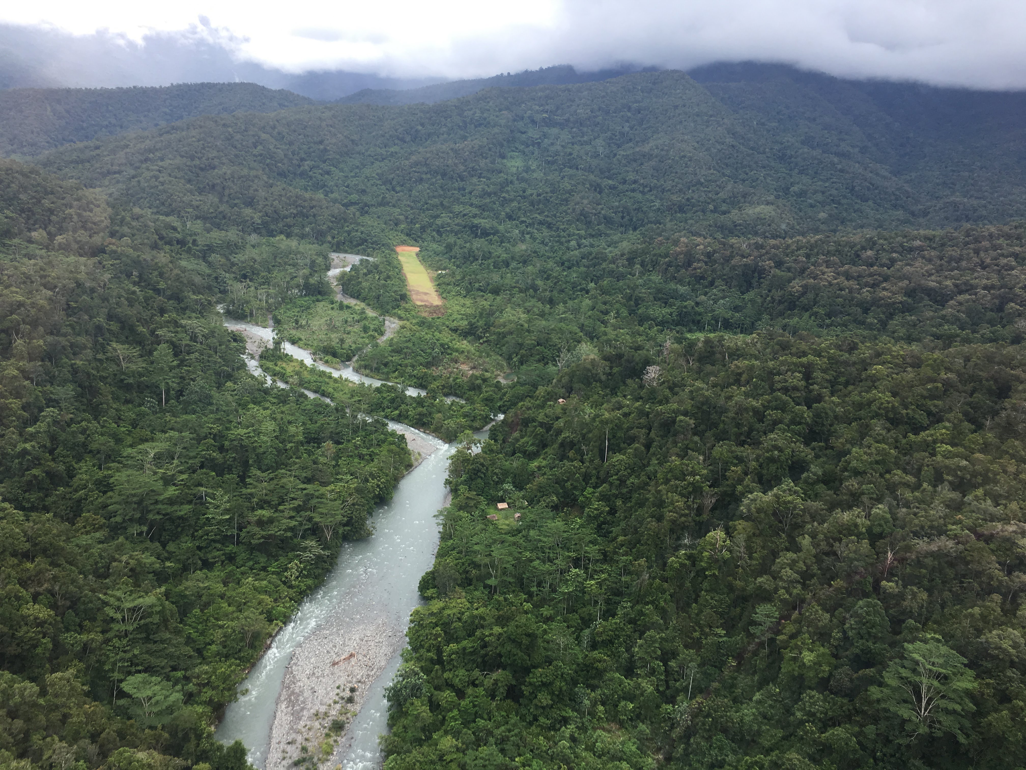
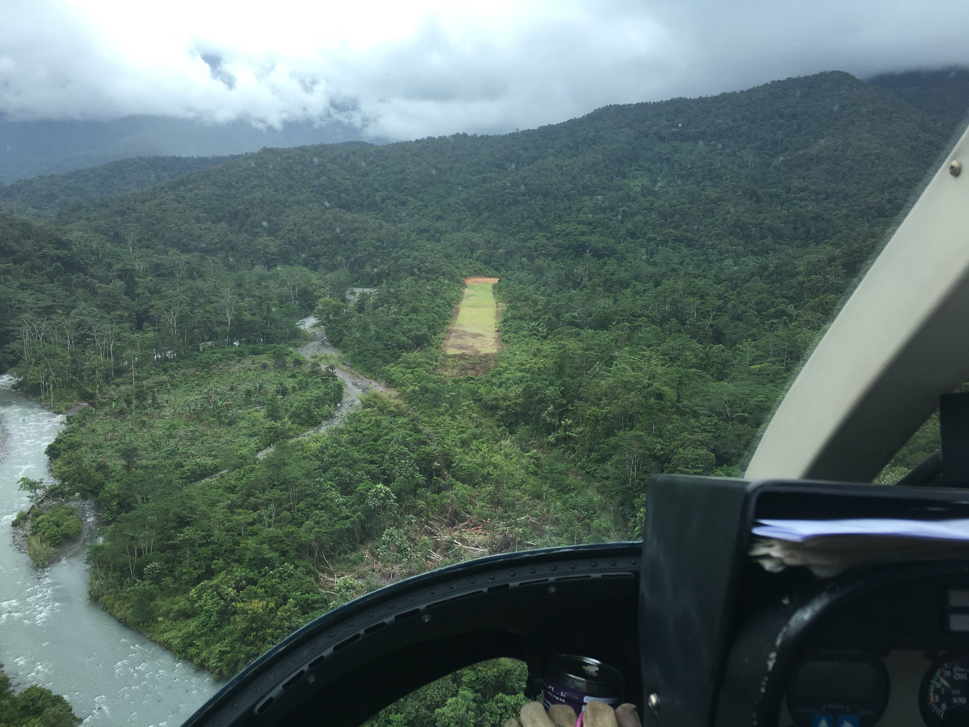
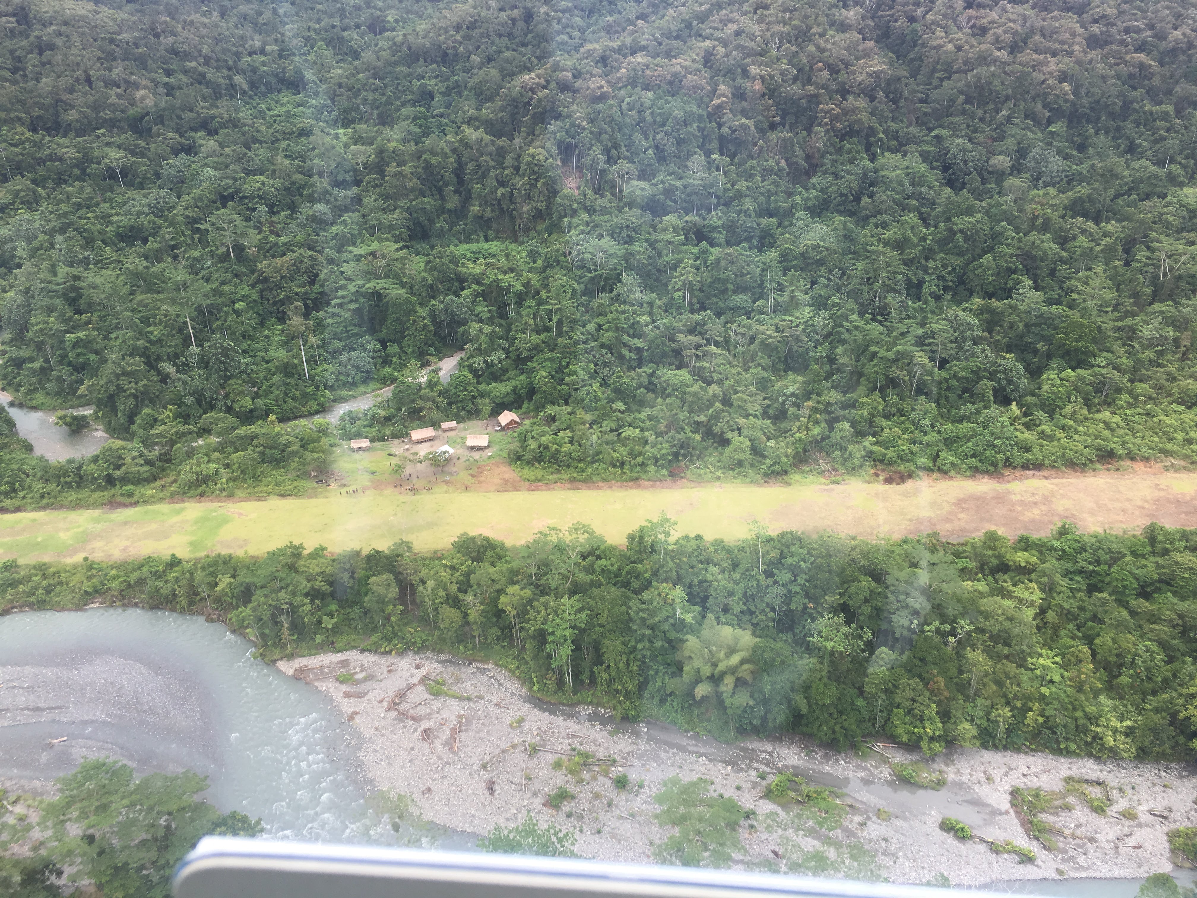
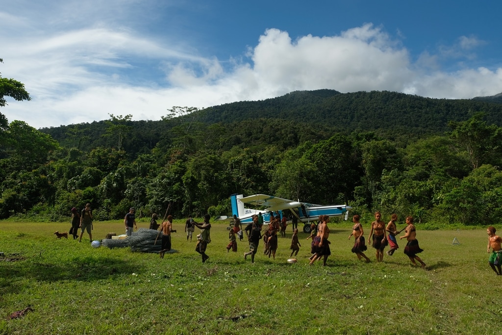
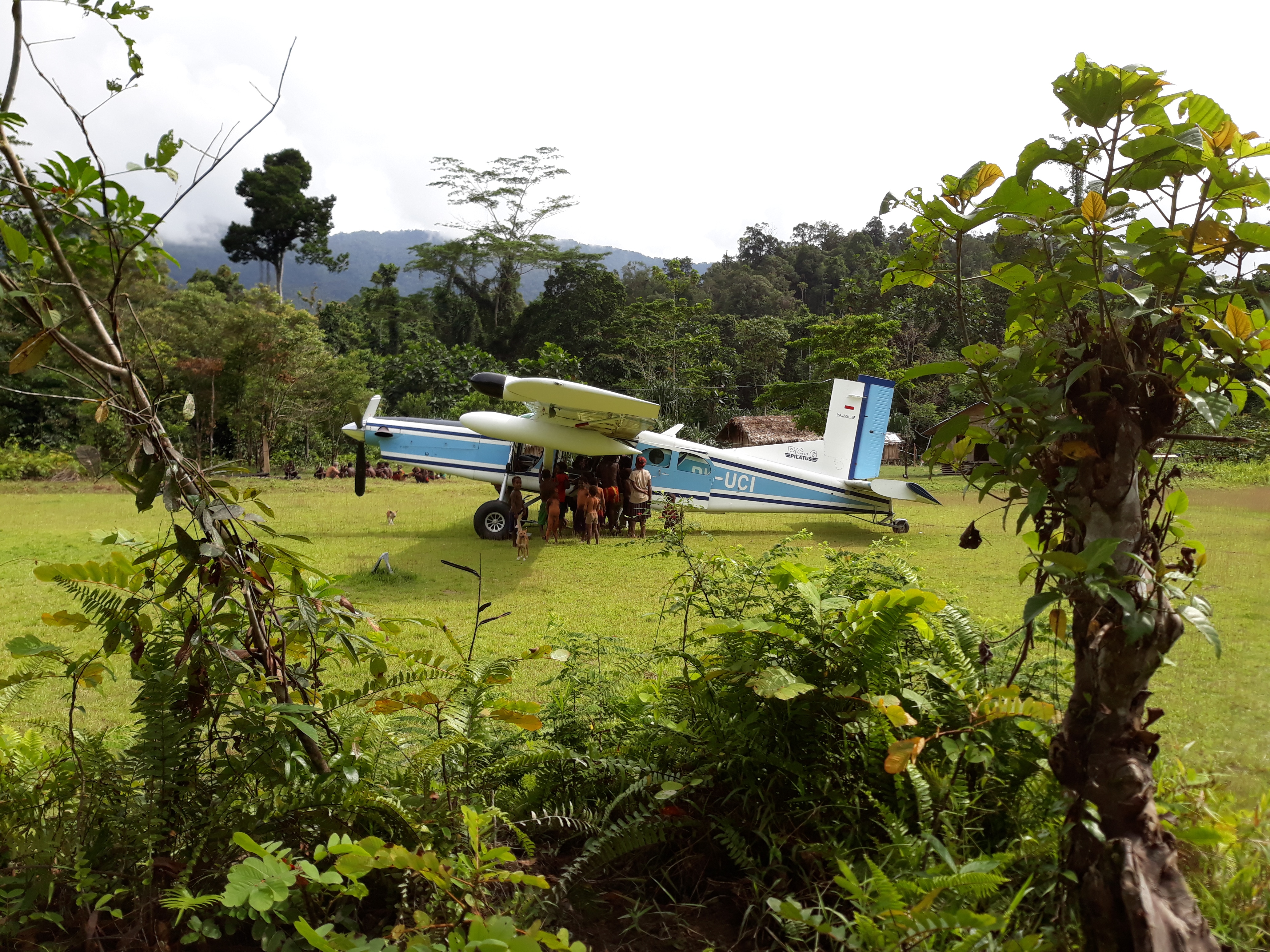
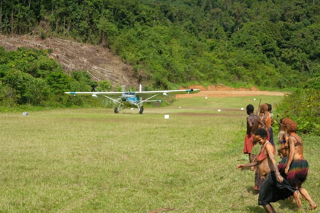
Touchdown Zone: Acodi
Region: Indonesia
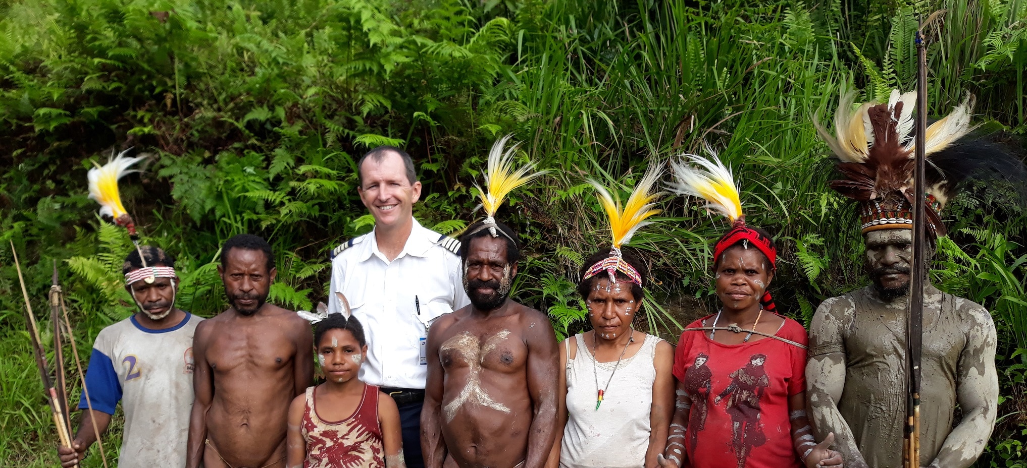
Language Group served: Wano
Surface: Grass
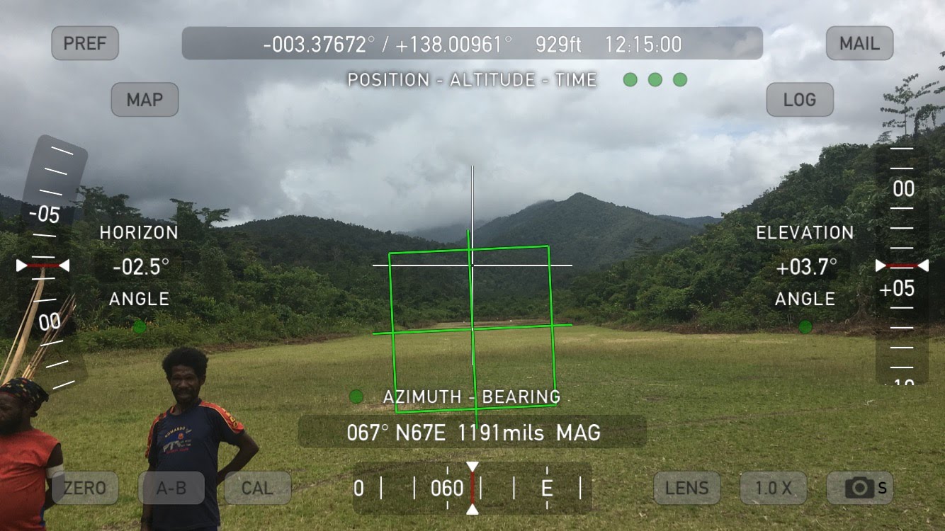
Elevation: 900 feet
Length: 505 meters/1,657 feet
Width: 14 meters/46 feet
Slope: 1% at touchdown increasing to 8% on rollout
Interesting Fact:
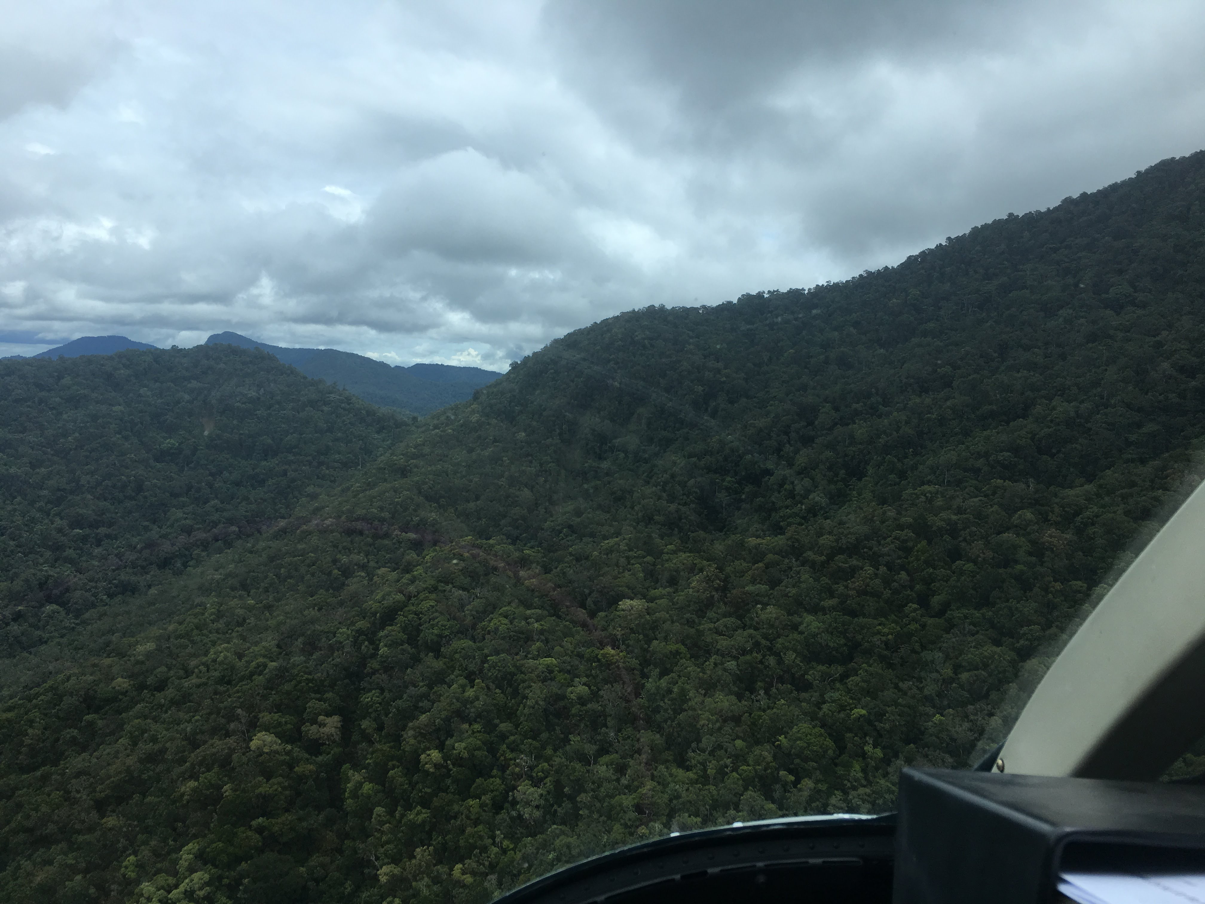
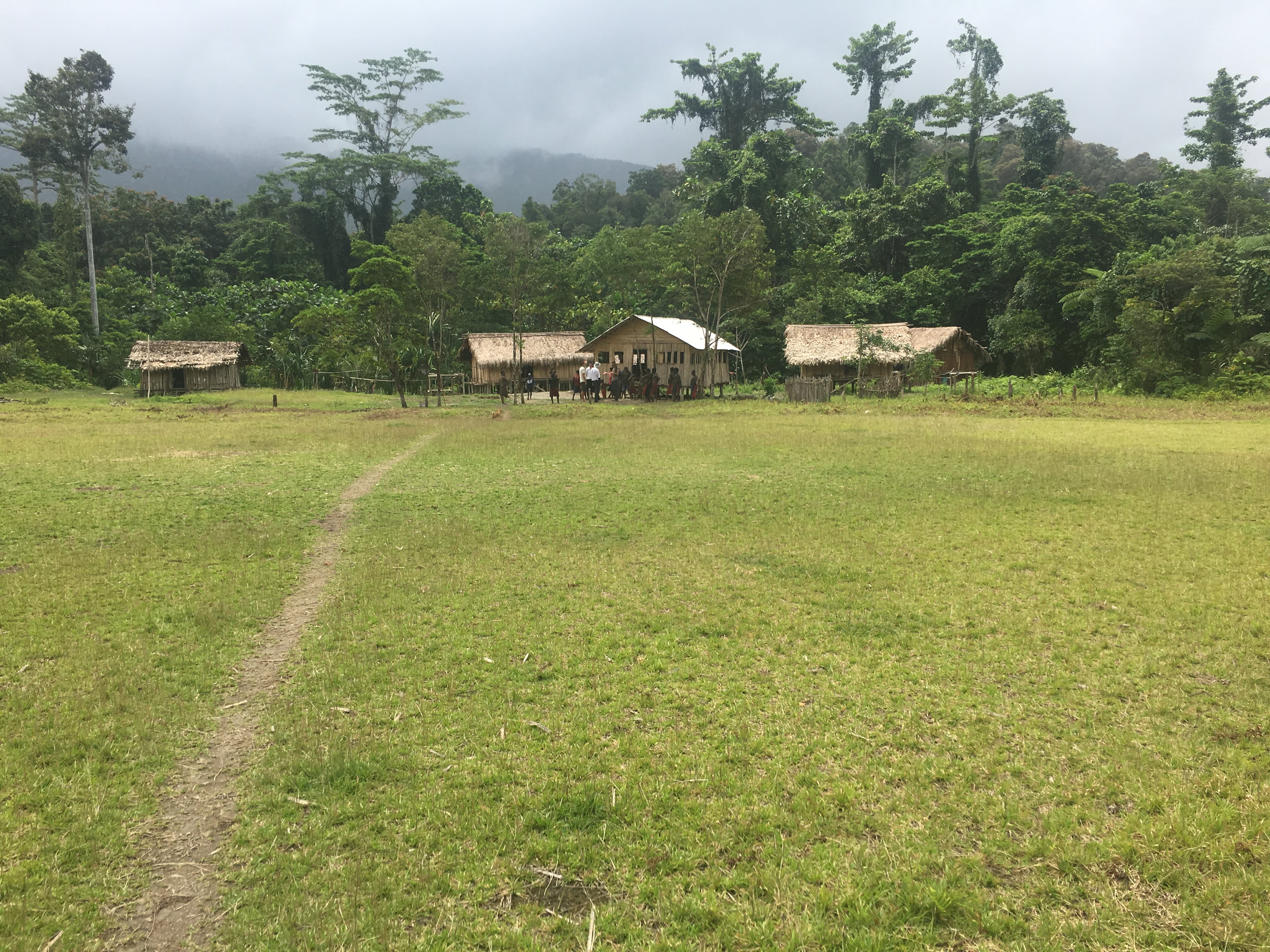
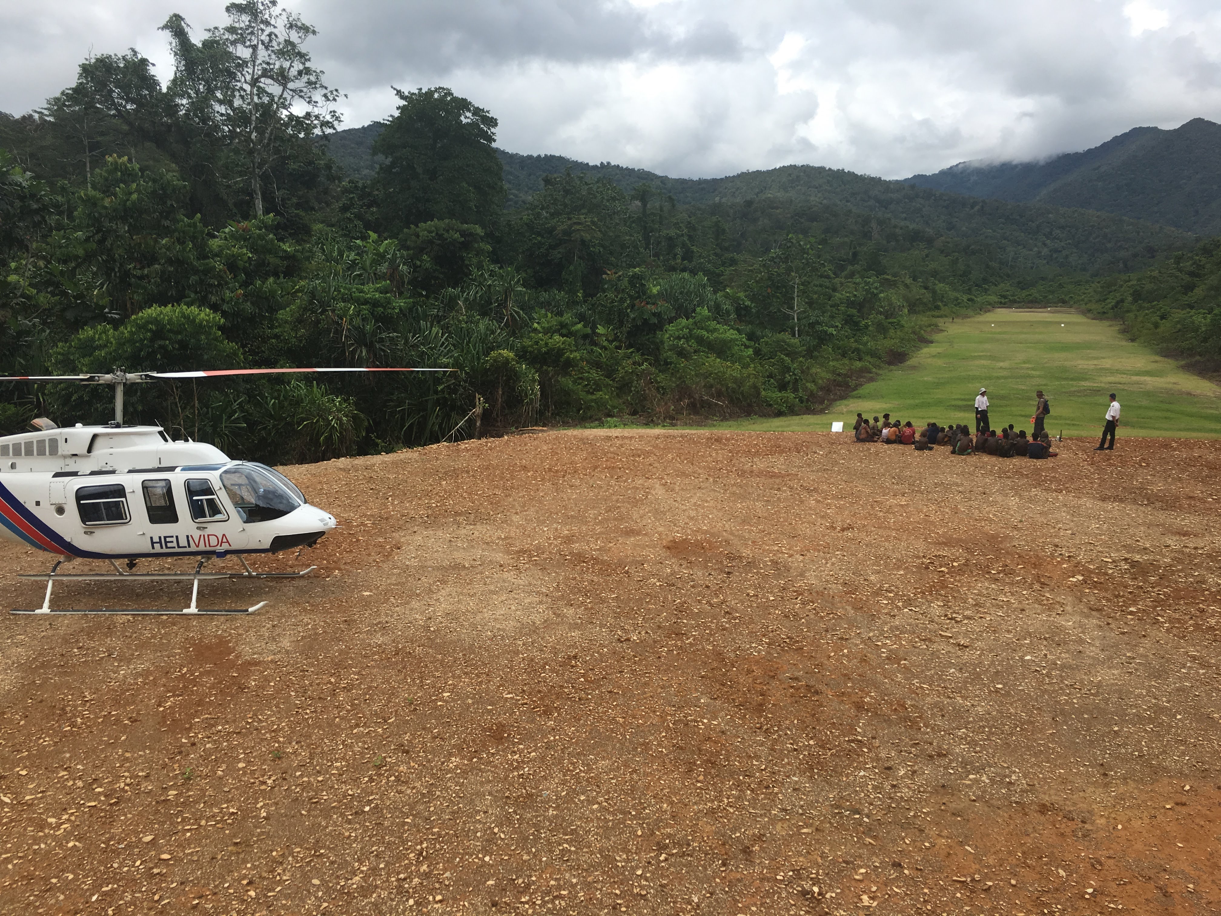
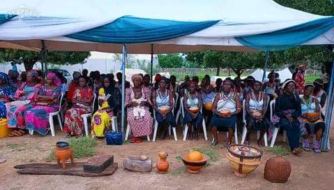
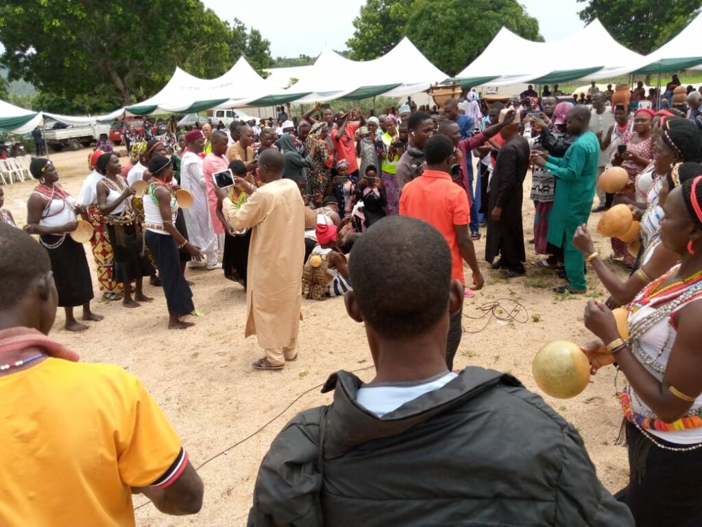
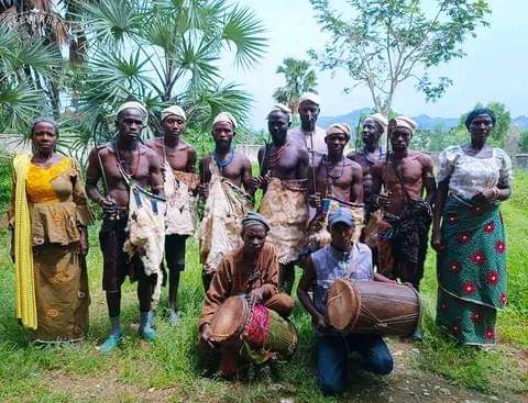
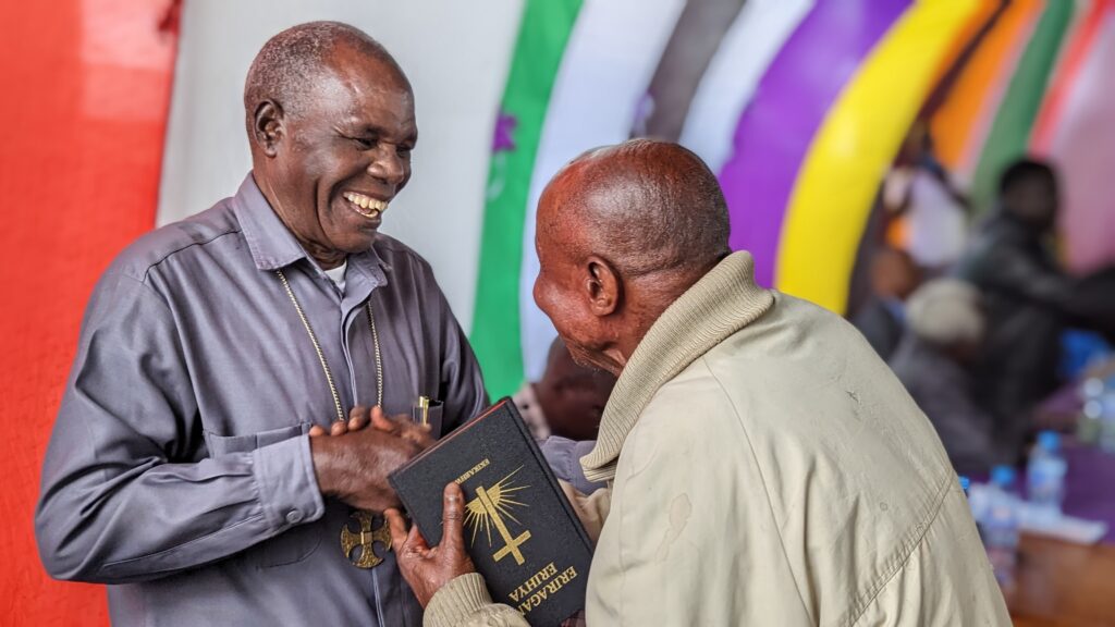
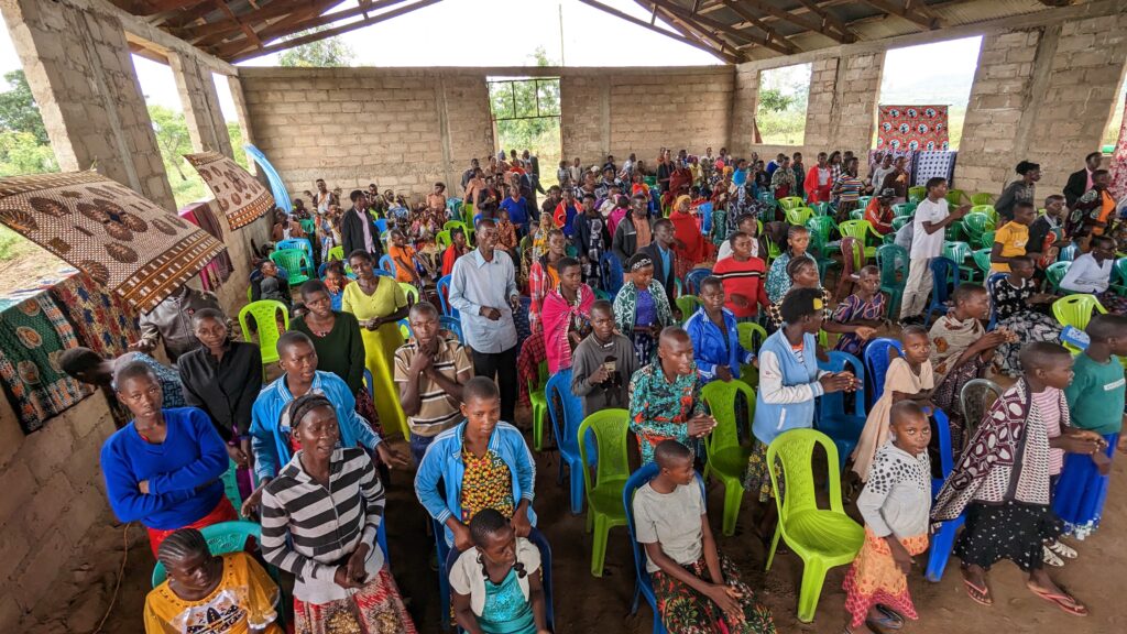
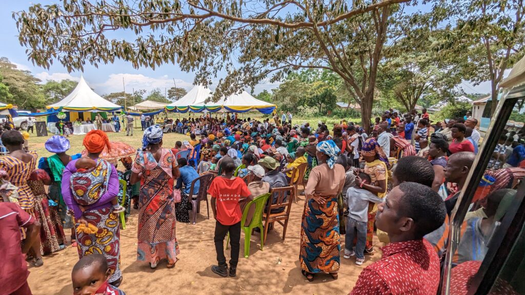
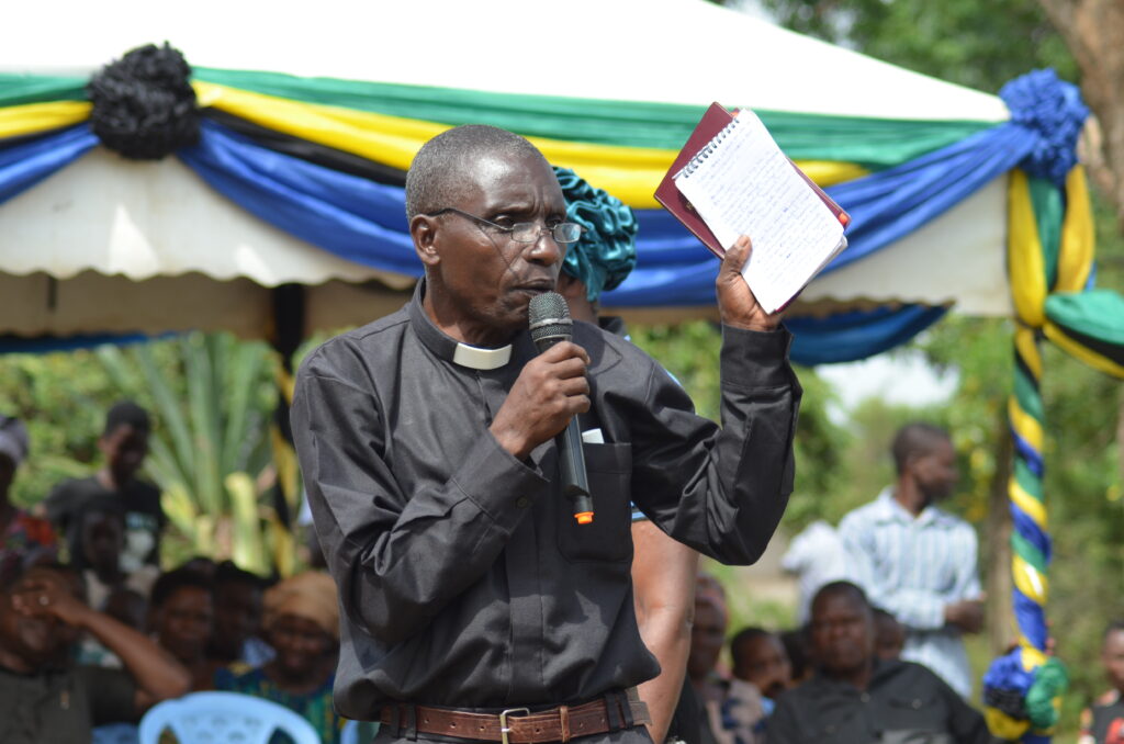
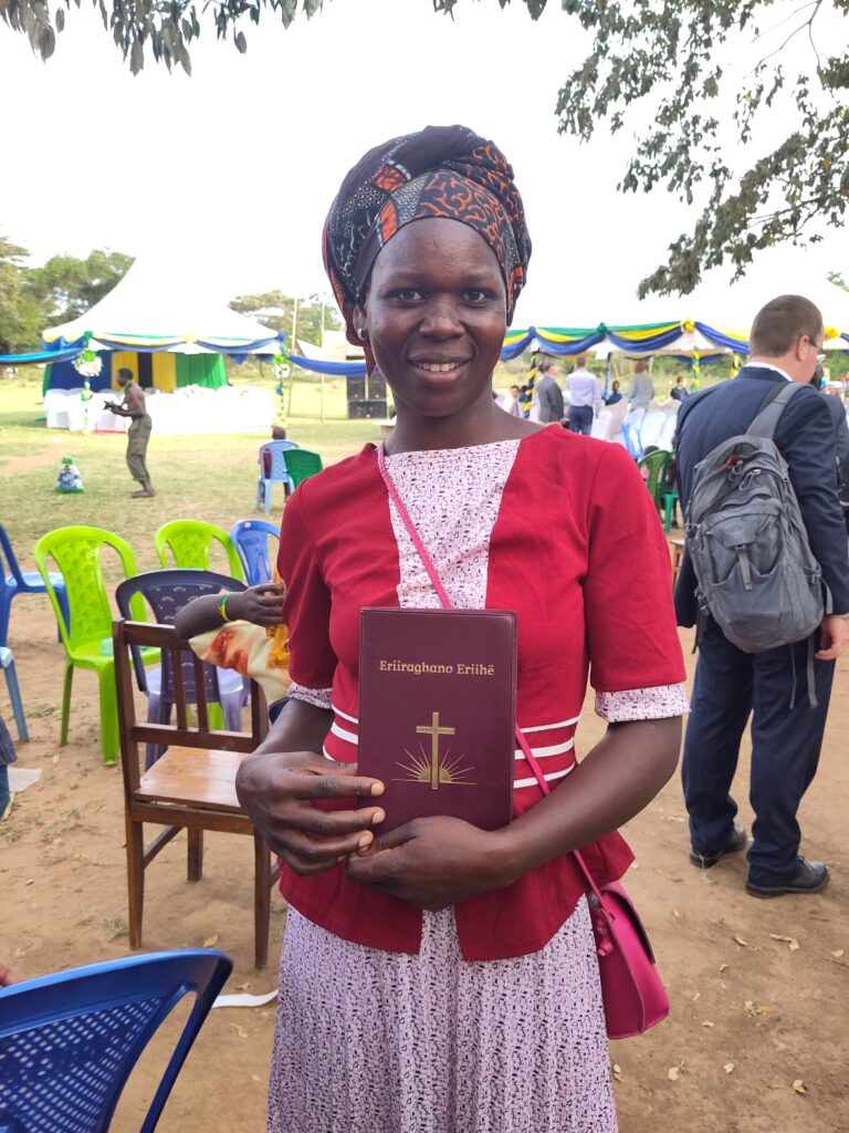
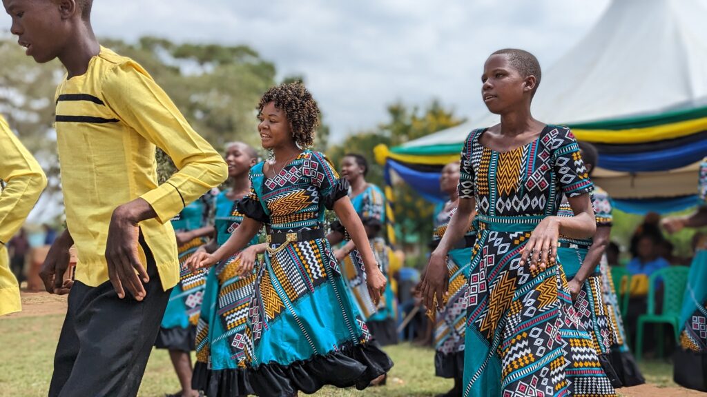
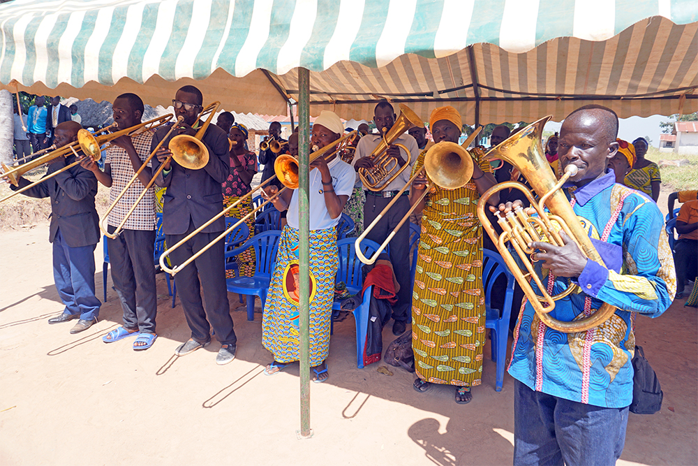
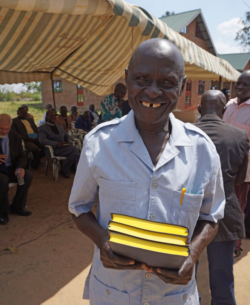
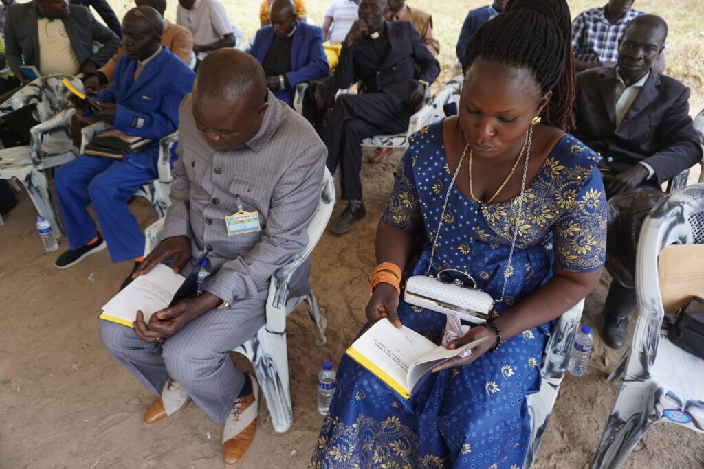
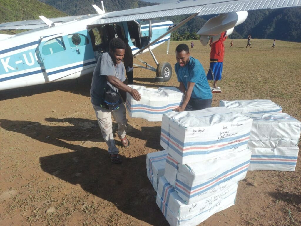
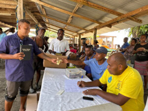
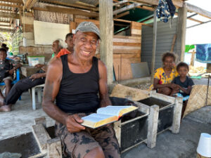
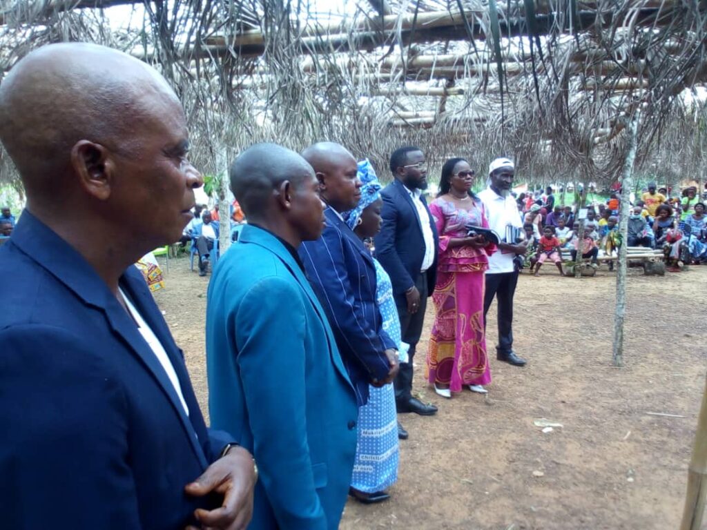
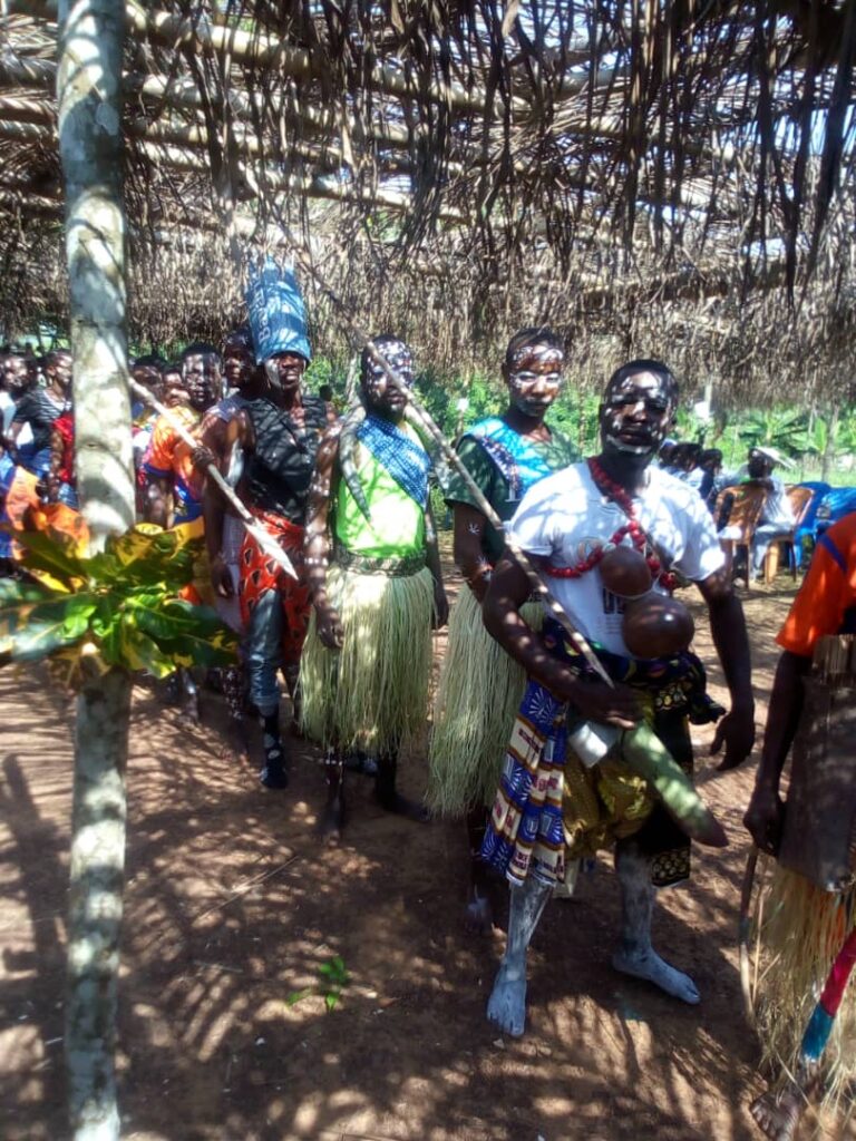
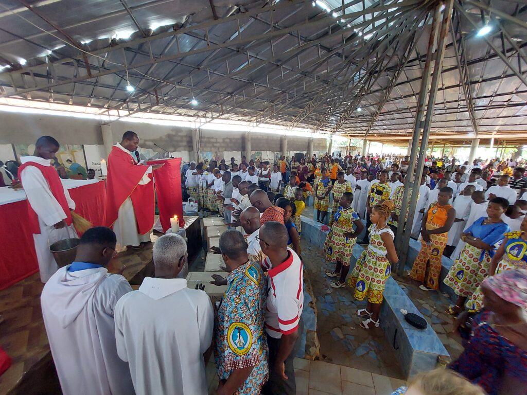
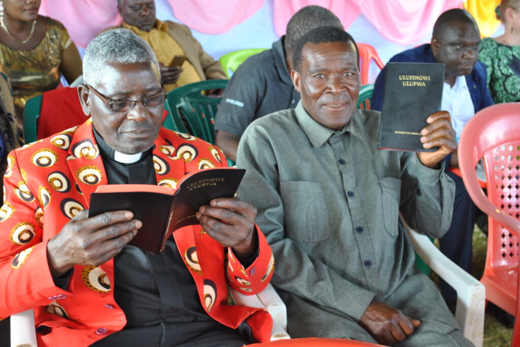
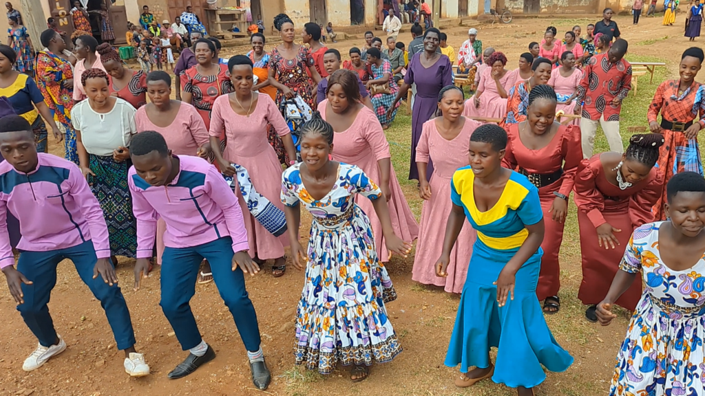
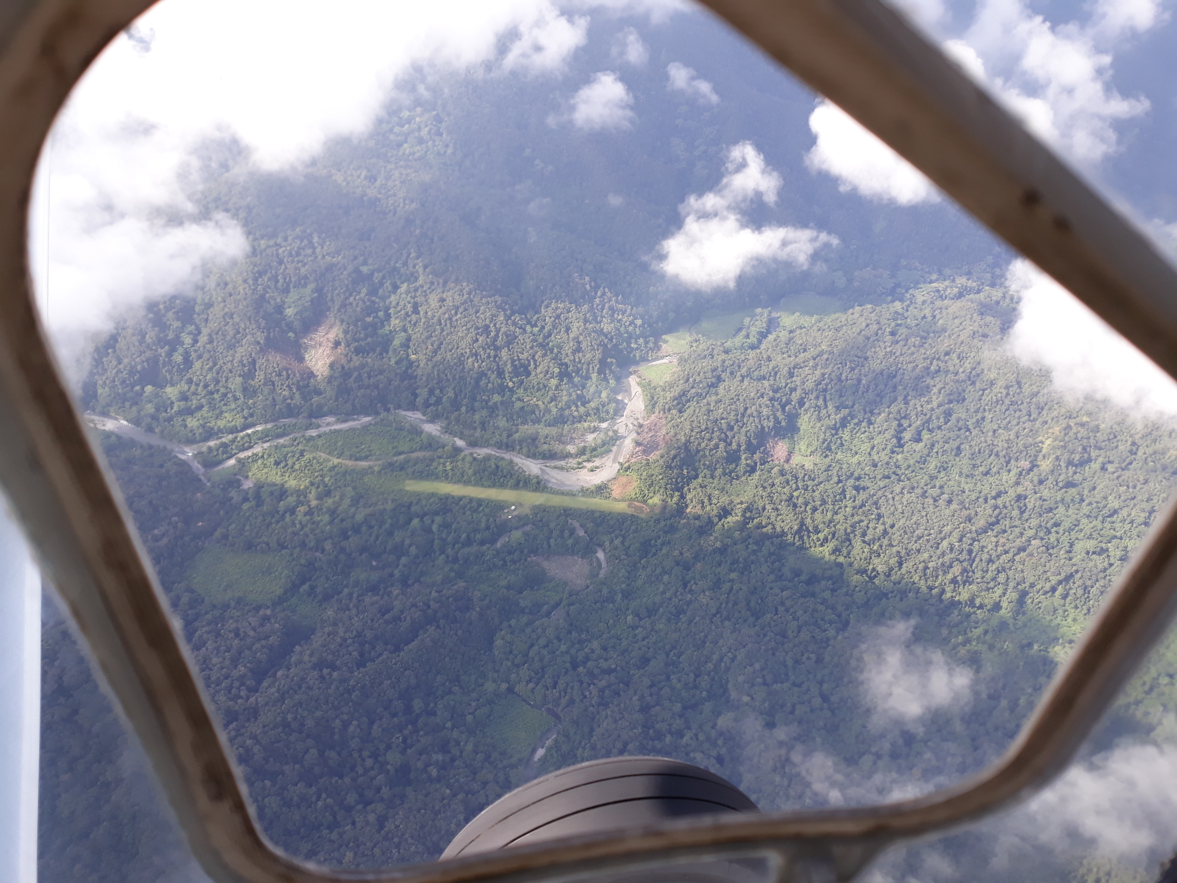
The Acodi airstrip was built entirely without the aid of tools. Literally. The ground was dug with sticks and rocks, and dirt was hauled on bark sleds. A changing river threatened to erode the runway, so YAJASI flew in wire cages filled with rocks to protect the river banks. In 2018, the airstrip was been opened to airplanes. Exciting ministry is happening here. YAJASI is serving the Wano Bible teachers who started an outreach in Acodi three years ago. There is now a growing church in the village. Some Wano men taught the first literacy class there earlier this year, and now a number of the men are training to become Bible teachers. Already this village is talking about where they will head to next to let other Wano villages know about what Christ did for them on the cross and the freedom that faith in Jesus brings.
Read more about Acodi here. View the runway chart here.
Time Saved:
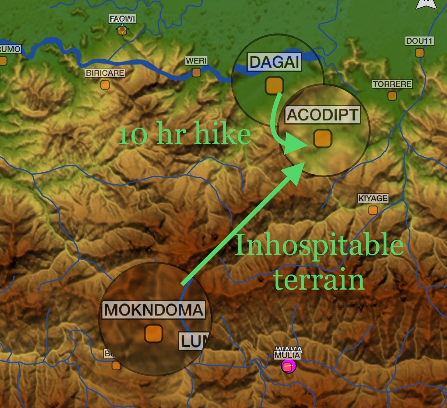
Acodi is a five-minute flight, or a ten-hour hike, from Dagai, the nearest village. However, Dagai has no medical services, and few supplies for purchase. To reach Mulia, the closest ‘town’ that can provide limited medical help, a Wano person faces about five days of hiking, or a 15–20 minute flight up and over the high ridges between Acodi and Mulia.
The Wano Bible teachers and literacy teachers and their families come to Acodi from the village of Mokndoma, about a 20–25 minute flight away. From time to time in the past, some Wano men have made that hike over inhospitable terrain (about a week’s worth of hiking), but families never make that hike. Now, through the help of YAJASI, the Bible teachers and their families can travel back and forth more safely and easily as they continue teaching and discipling the believers in Acodi.