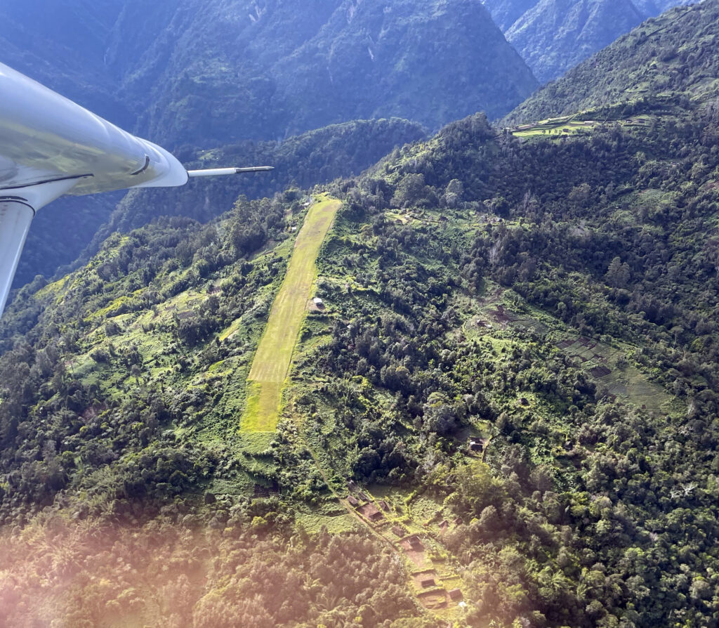
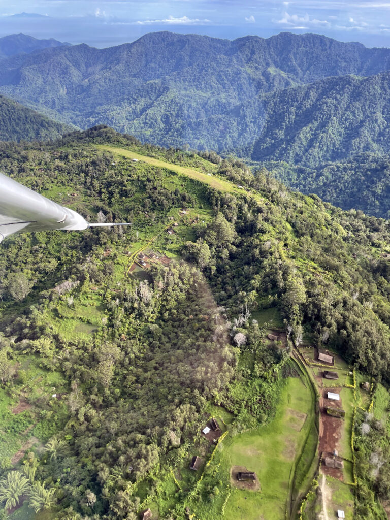
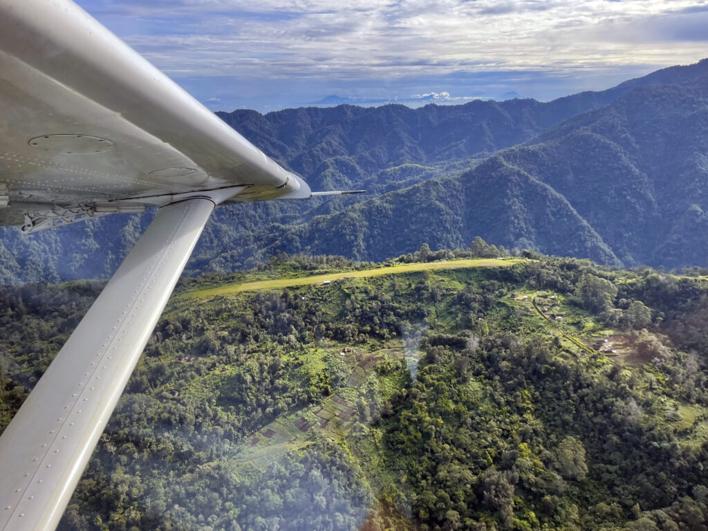
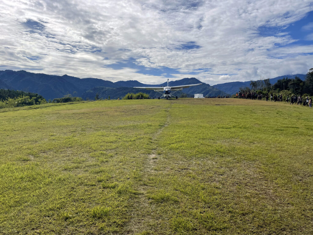
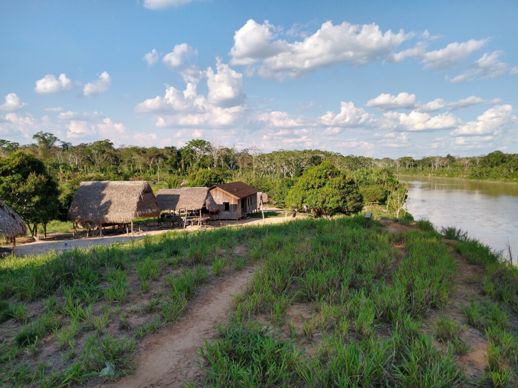
Touch Down Zone: Nankina
Region: Papua New Guinea
Surface: Grass/clay
Elevation: 5,580 feet
Length: 540 meters/1,772 feet
Width: 31 meters/102 feet
Slope: 10.1%
Language group served:
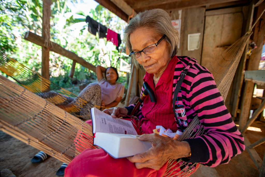
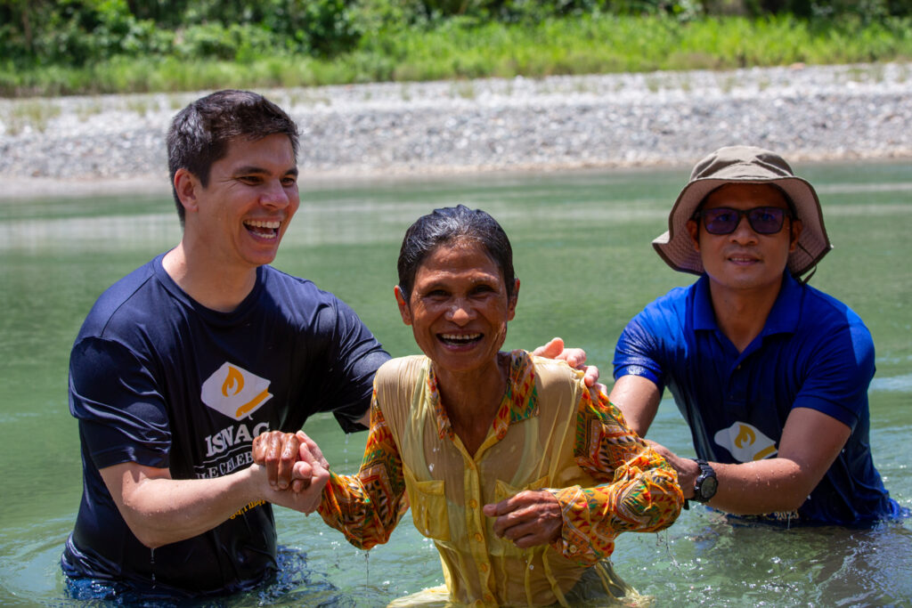
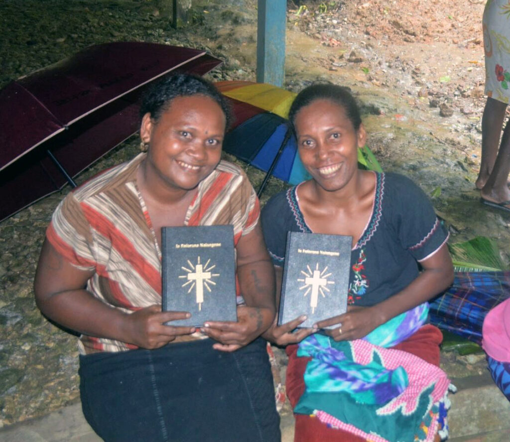
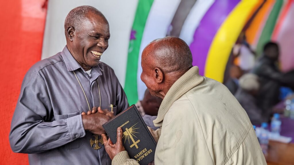
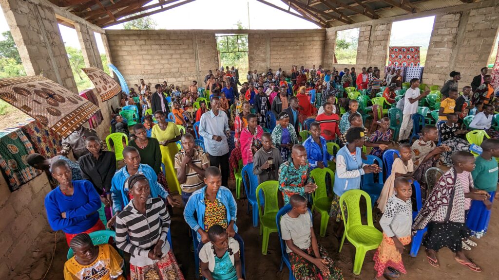
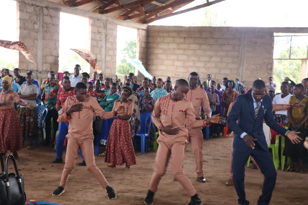
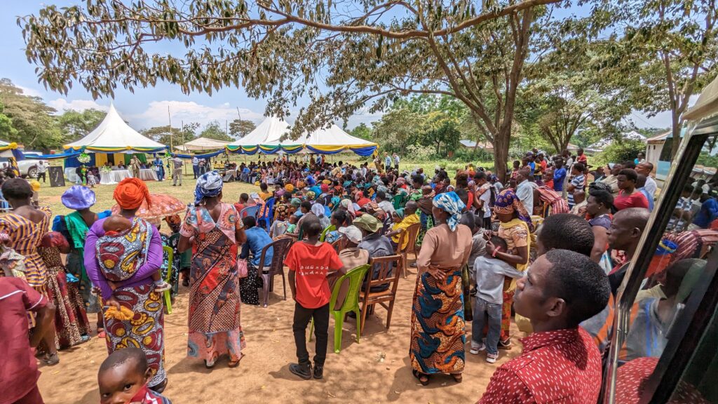
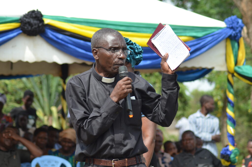
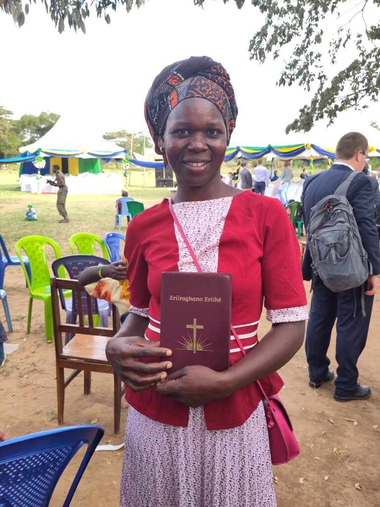
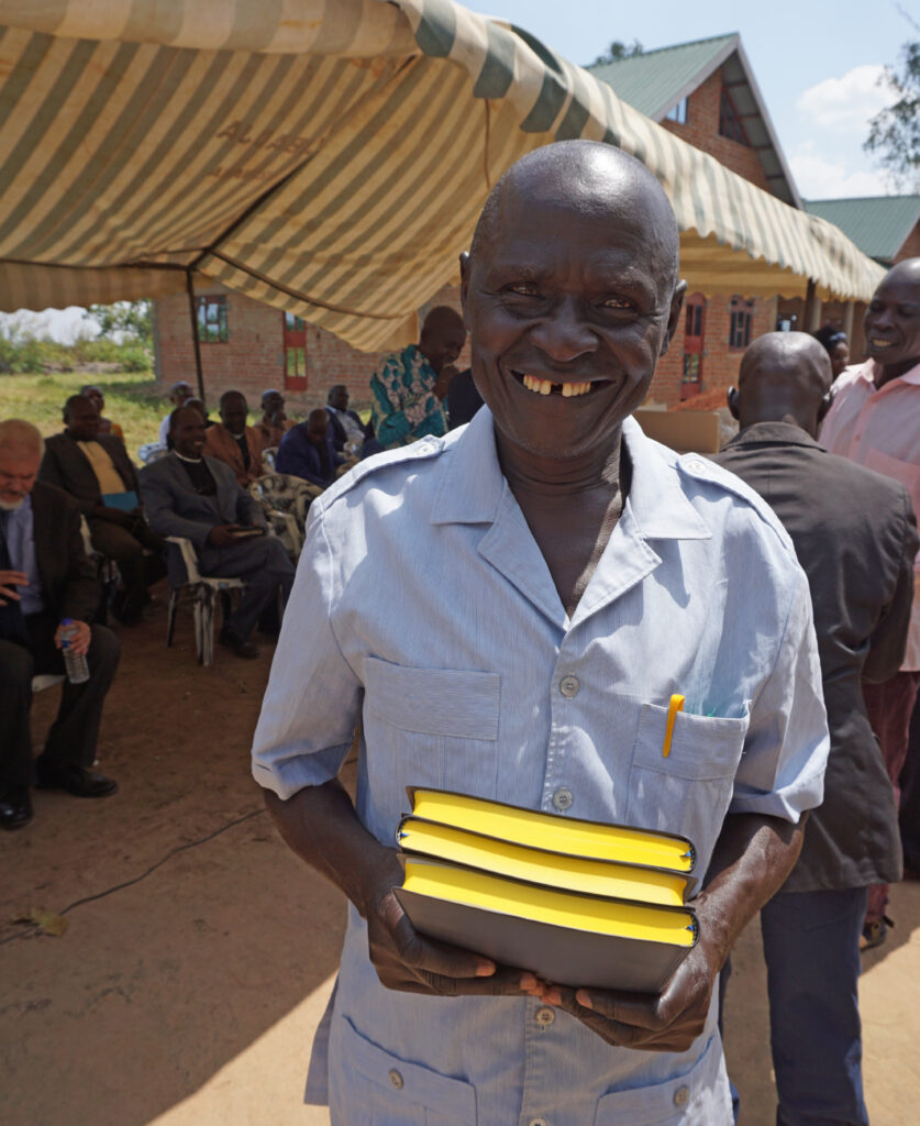
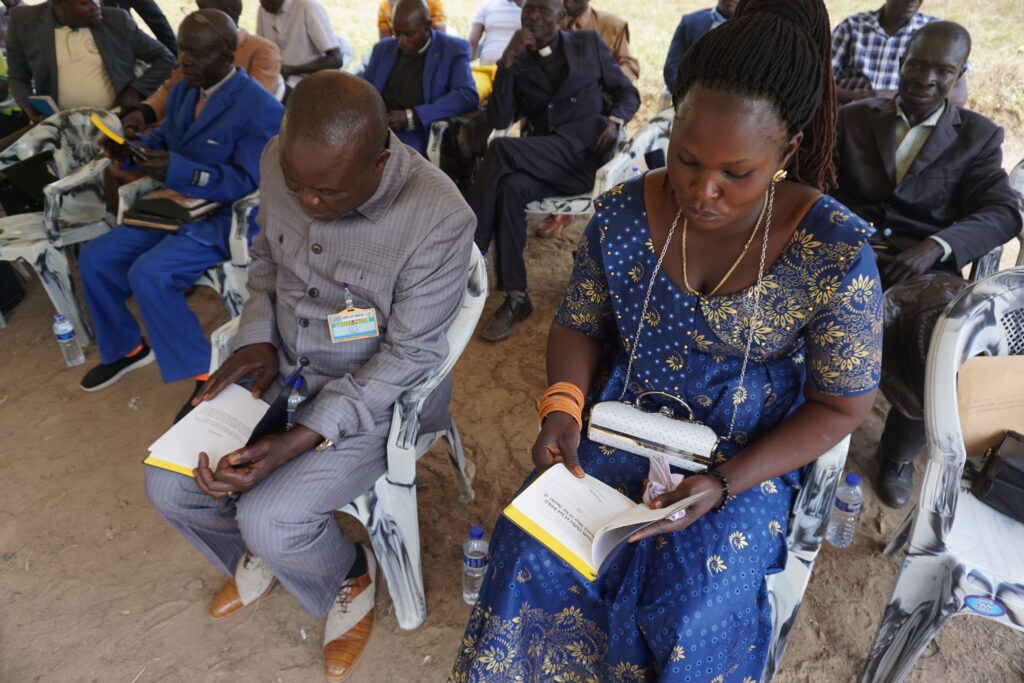
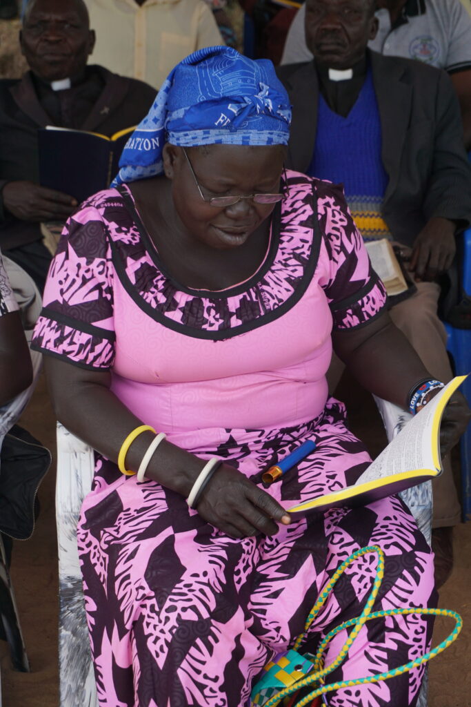
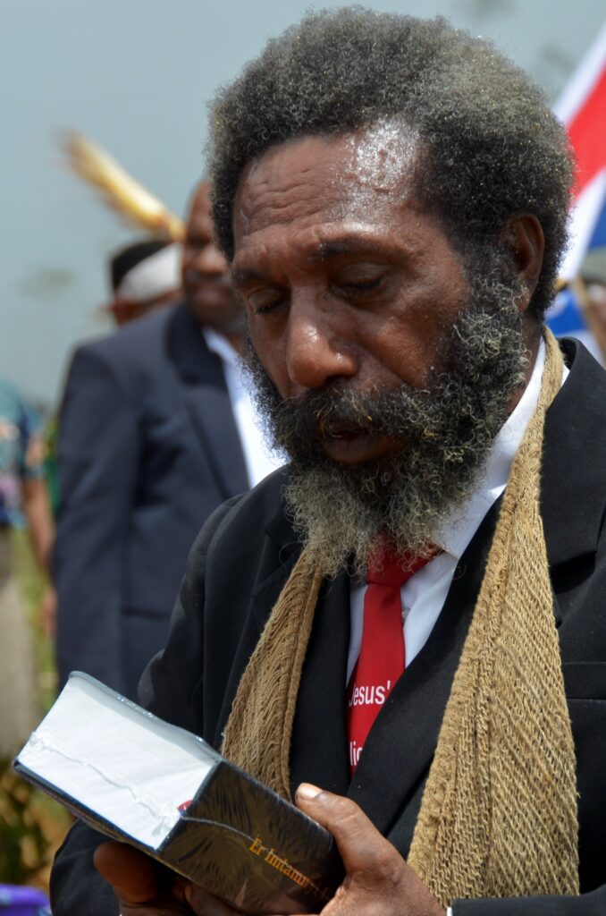
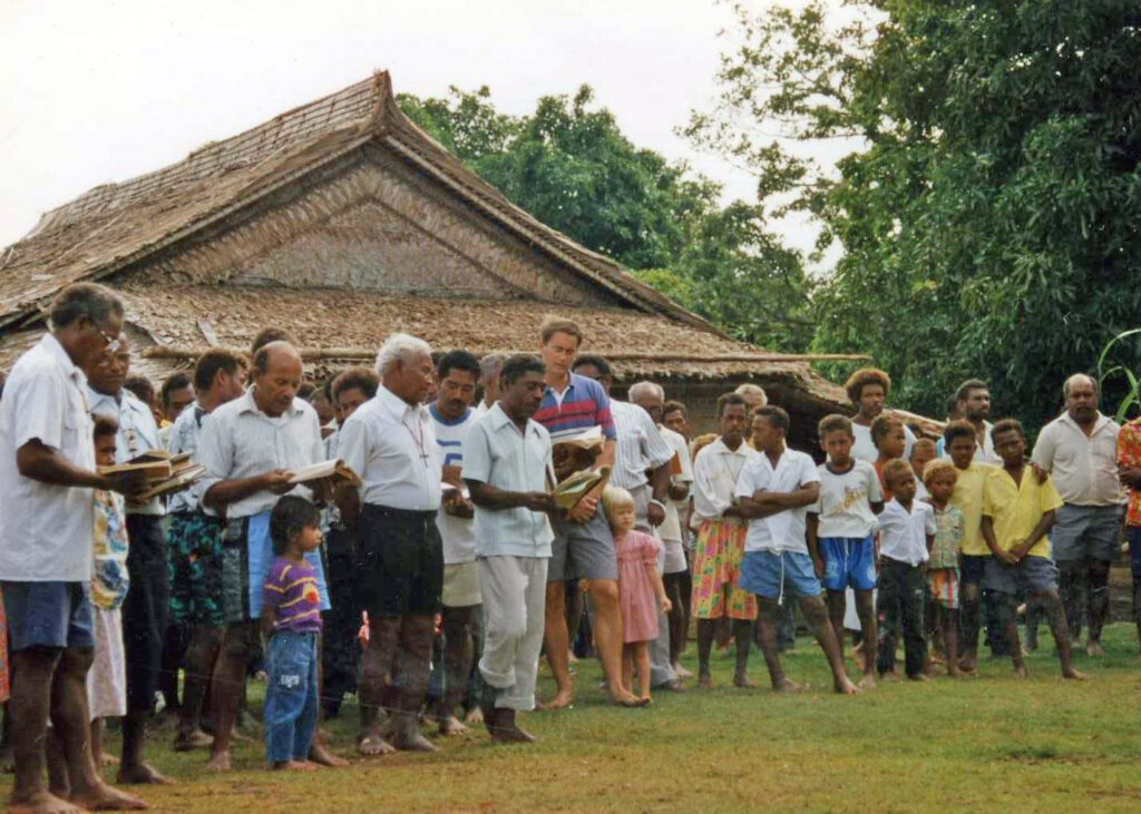
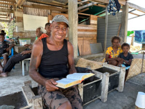
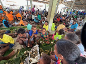
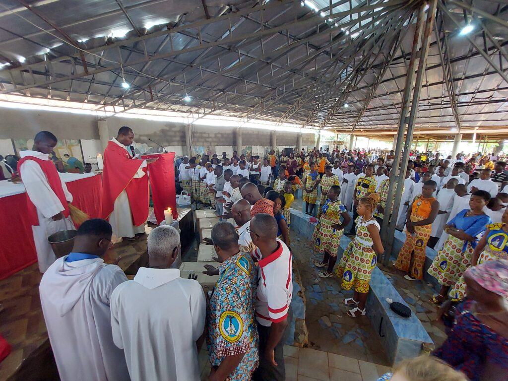
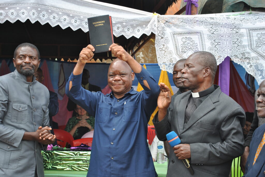
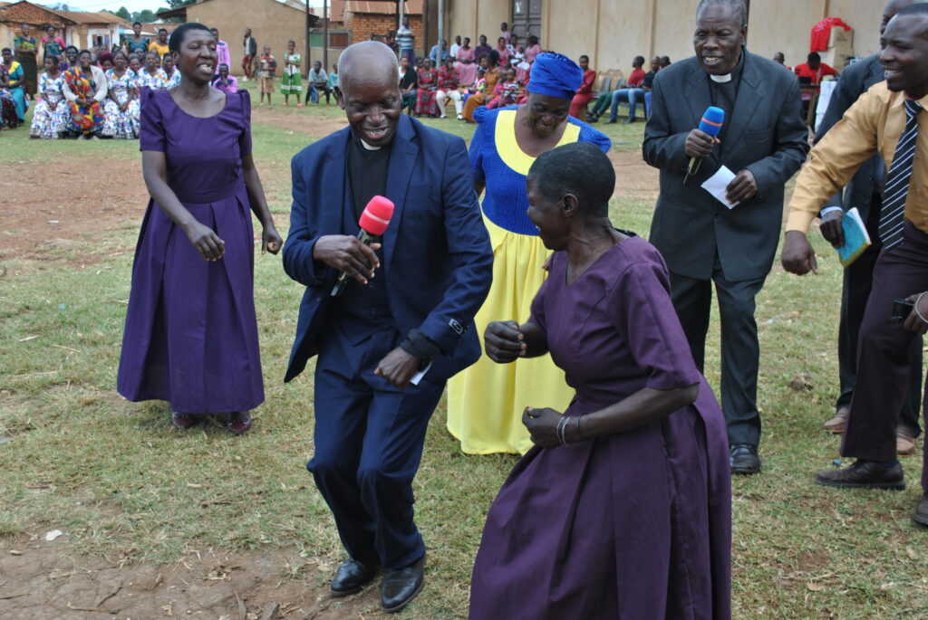
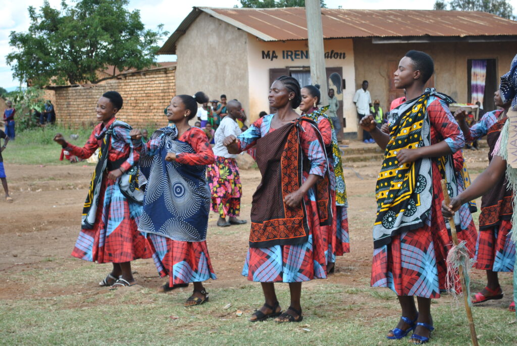
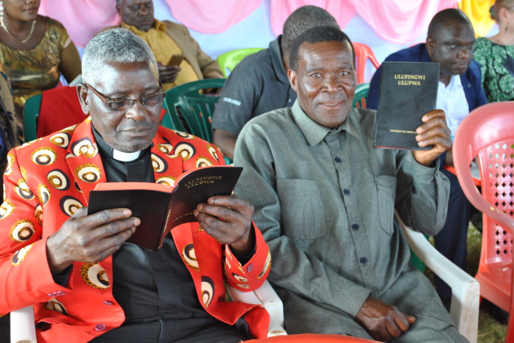
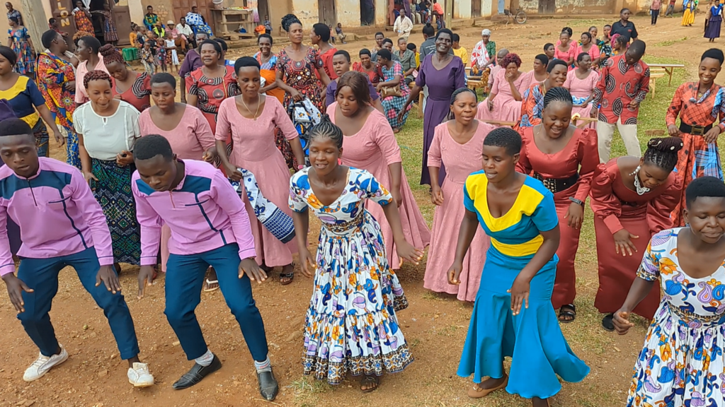
Nankina serves the Nankina language group. A Bible translation project is underway.
Interesting facts:
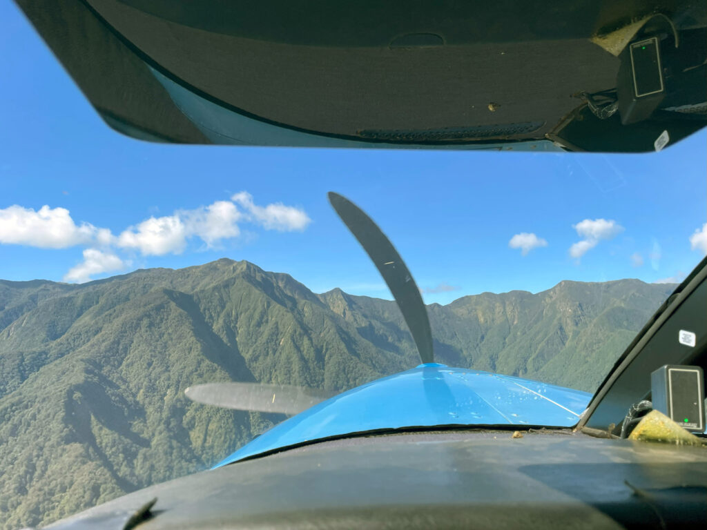
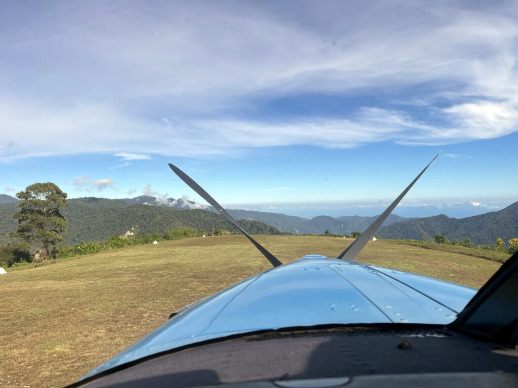
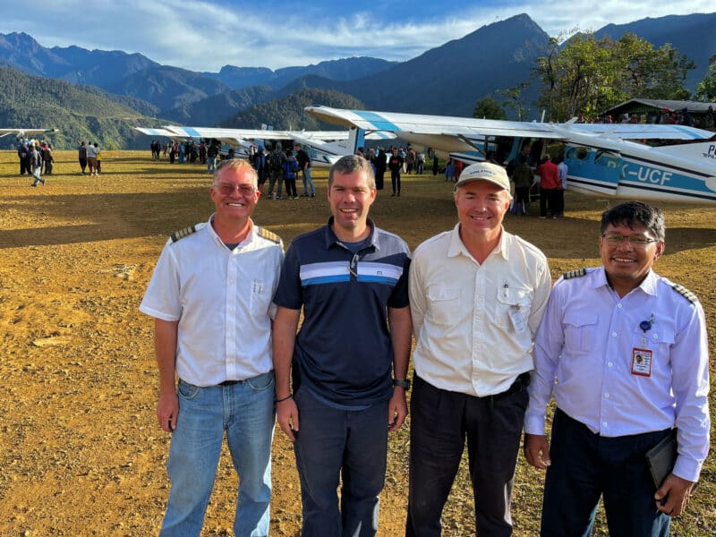
Nankina is located on the northern slopes of the Finisterre Mountain range in Papua New Guinea. SIL-PNG Aviation serves a Bible translator family who live right beside the airstrip. Pilot Brent Fox says, “It’s a class D airstrip, which is our most challenging classification. This is due to a combination of runway length, slope, undulations, soft surfaces, airborne committal mid-final on landing, challenging weather, and winds. Often a cloud hangs out directly in the approach path, while it is clear on all other sides. The terrain drops off steeply in all directions making you feel like you are on top of the world. It’s one of those places where, after landing and the adrenaline rush subsides, I look down the runway and think, ‘What a unique place to land an airplane!’ Unfortunately gang activity in the area has affected quite a few villages including Nankina. I spent some time last week hearing their stories, sharing encouragement and praying with them. Such sweet people, but deep pain.”
Time saved:
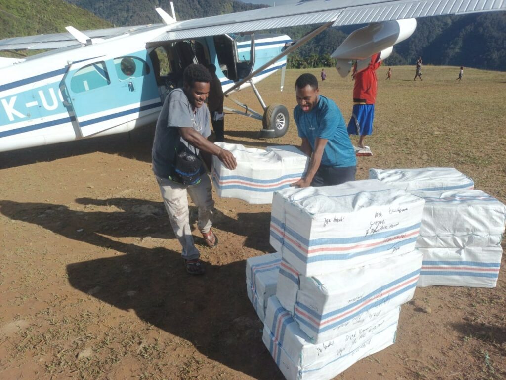
Ground travel from Nankina to Madang on the coast starts with a two-day hike descending 5,500ʹ of very steep terrain that at times requires using hands as well as feet. The hike is followed by a 15-hour boat ride to Madang, the closest big town with access to a hospital and stores. Recently, pirate activity has affected some of the small boats on the way to Madang, making the trip risky. The flight time from Nankina to Madang is 23 minutes. Pilots often fly along the coast rather than flying directly to Madang to avoid the need for overwater gear.
For the translators based in Ukarumpa, going overland starts with a five-hour drive to Madang, then the 15-hour boat ride and the grueling climb of 5,500ʹ to Nankina. With small kids and supplies it is pretty much impossible and unsafe. By air, a Kodiak flight from Ukarumpa arrives at Nankina in 18 minutes.
The airstrip also makes it possible to provide easy transport of national co-translators to Ukarumpa for training courses.