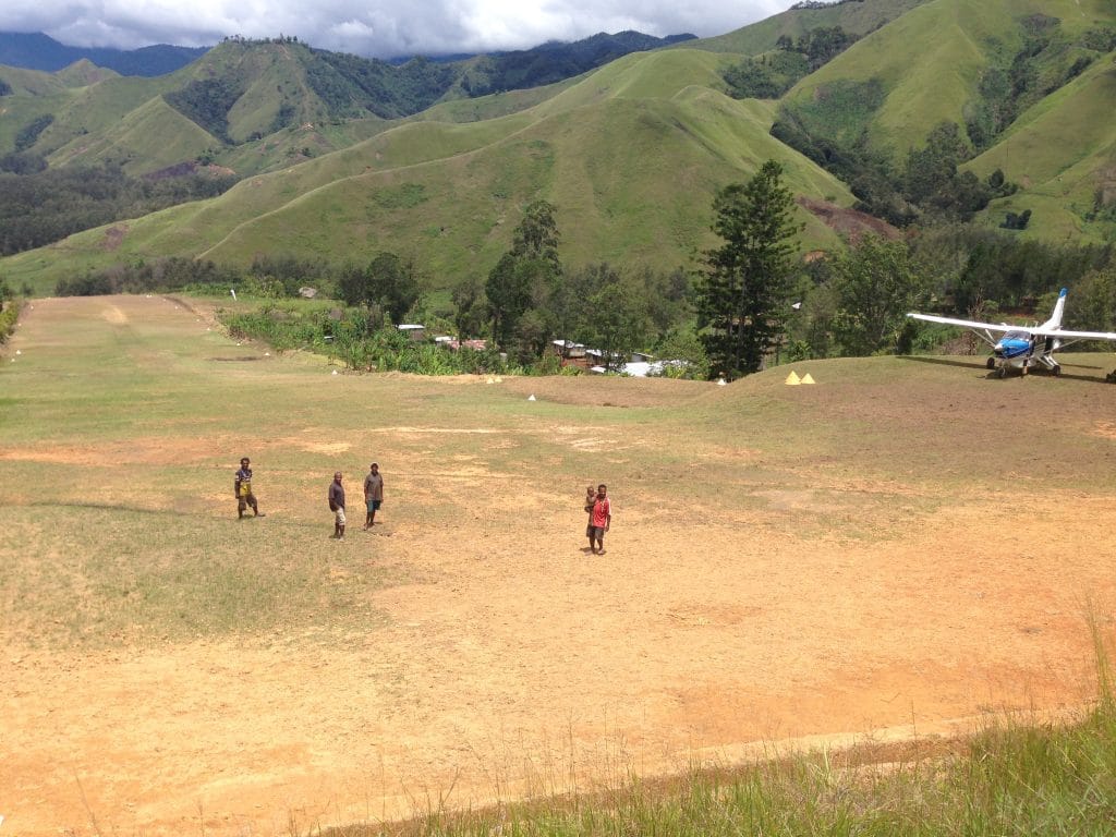
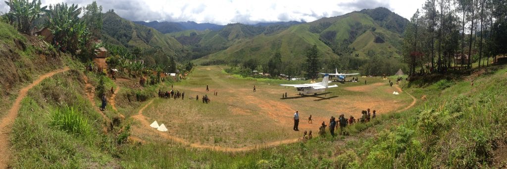
Touchdown Zone: Wonenara
Airstrip: Wonenara
Region: Papua New Guinea
Surface: Grass/clay
Elevation: 4,900 feet
Length: 450 meters/1,476 feet
Width: 37 meters/121 feet
Slope: 8%
Language group served:
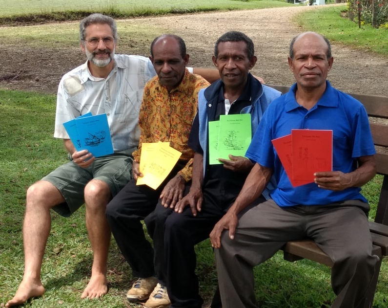
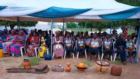
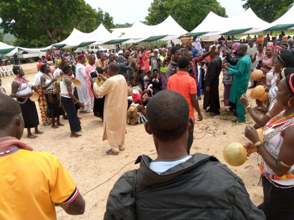
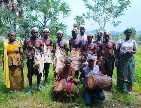
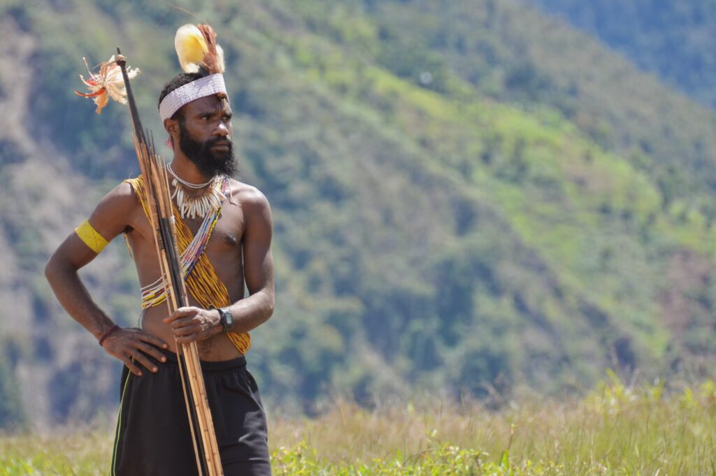
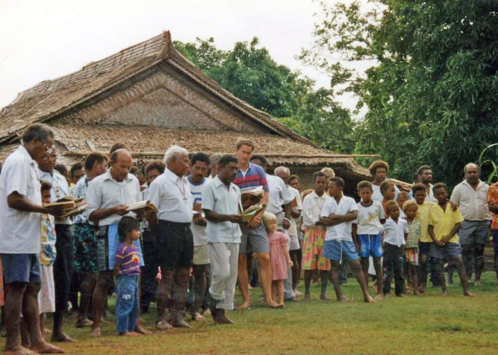
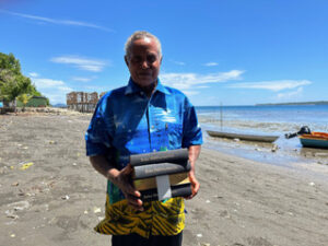
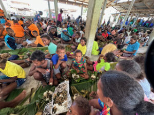
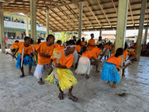
Wonenara serves the Yipma language group (also known as Baruya). The New Testament was completed and dedicated in 1993 with the help of Wycliffe missionaries Dick and Joy Lloyd.
Time saved:
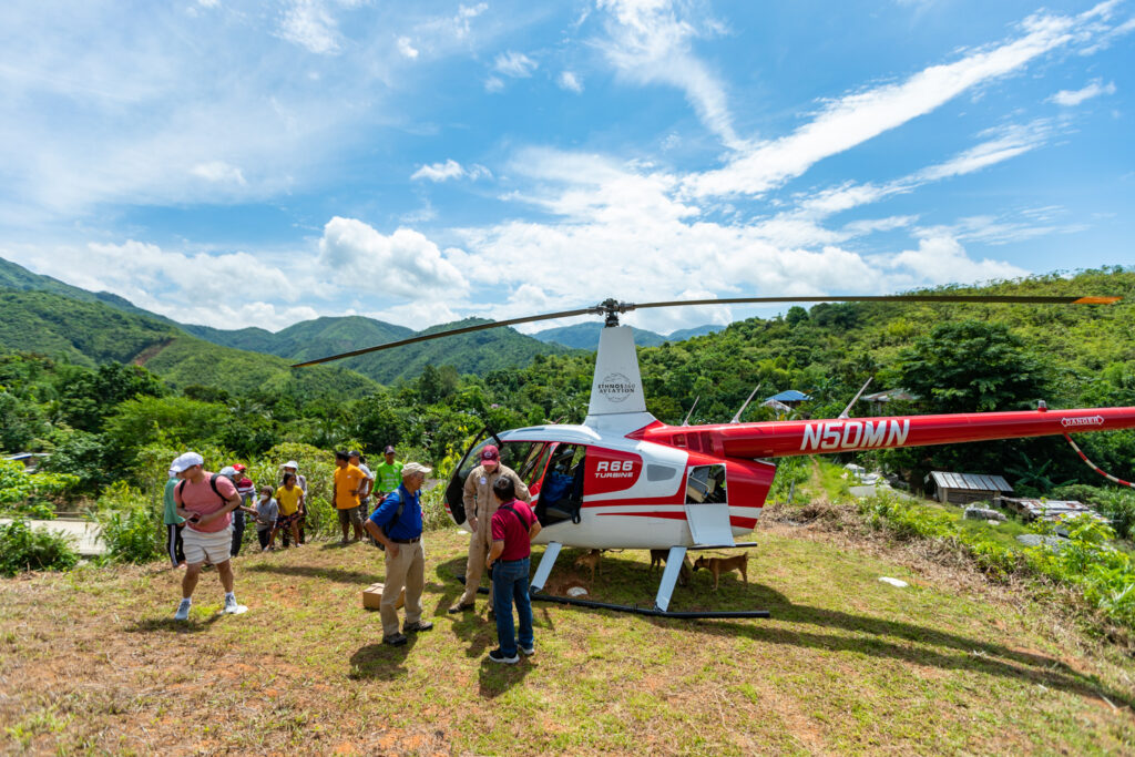
Beyond a certain point, there are no roads into Wonenara. From the end of the road, which is passable only in dry season, it’s a one-day walk to Wonenara. In rainy season, walking takes two days. Flight time to Wonenara is only 10 minutes from the home base at Aiyura.
Interesting facts:
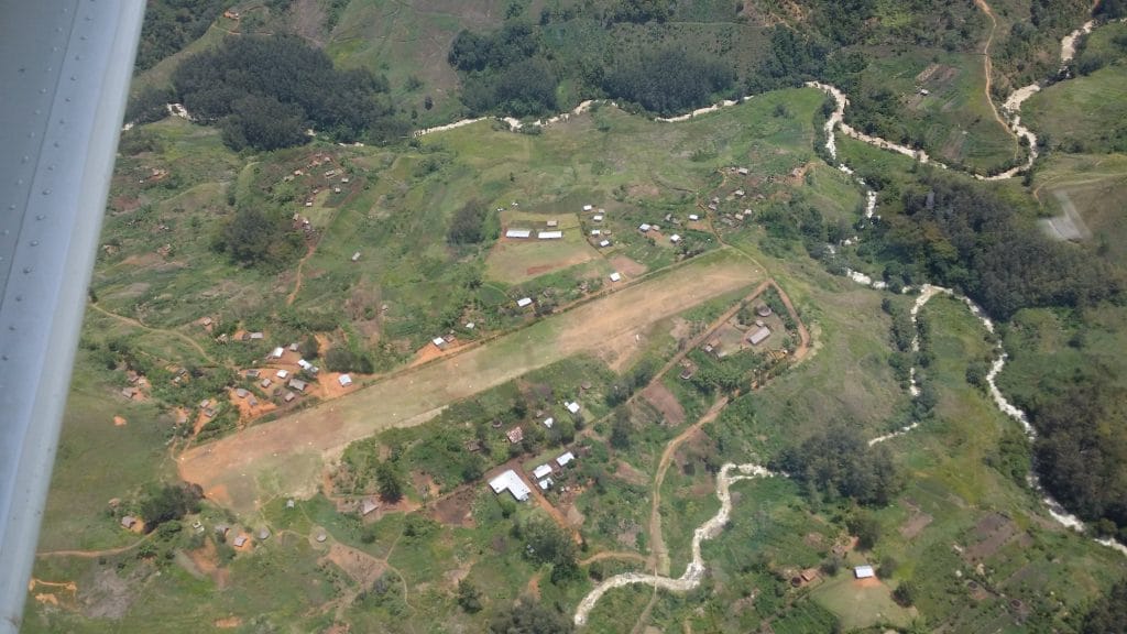
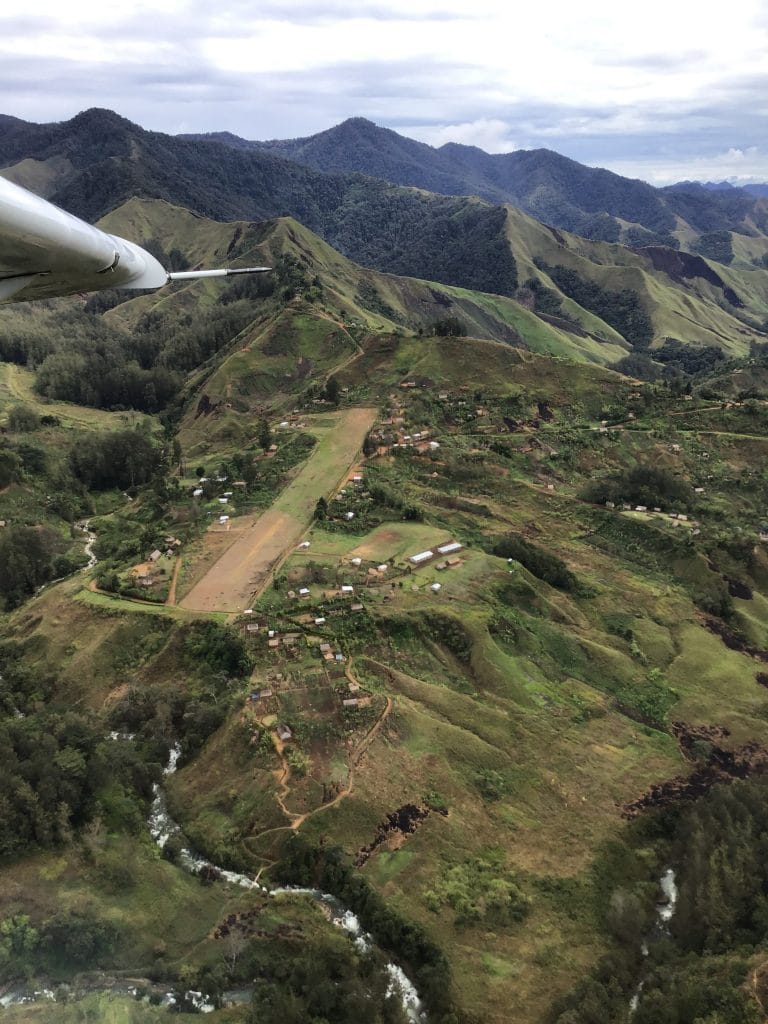
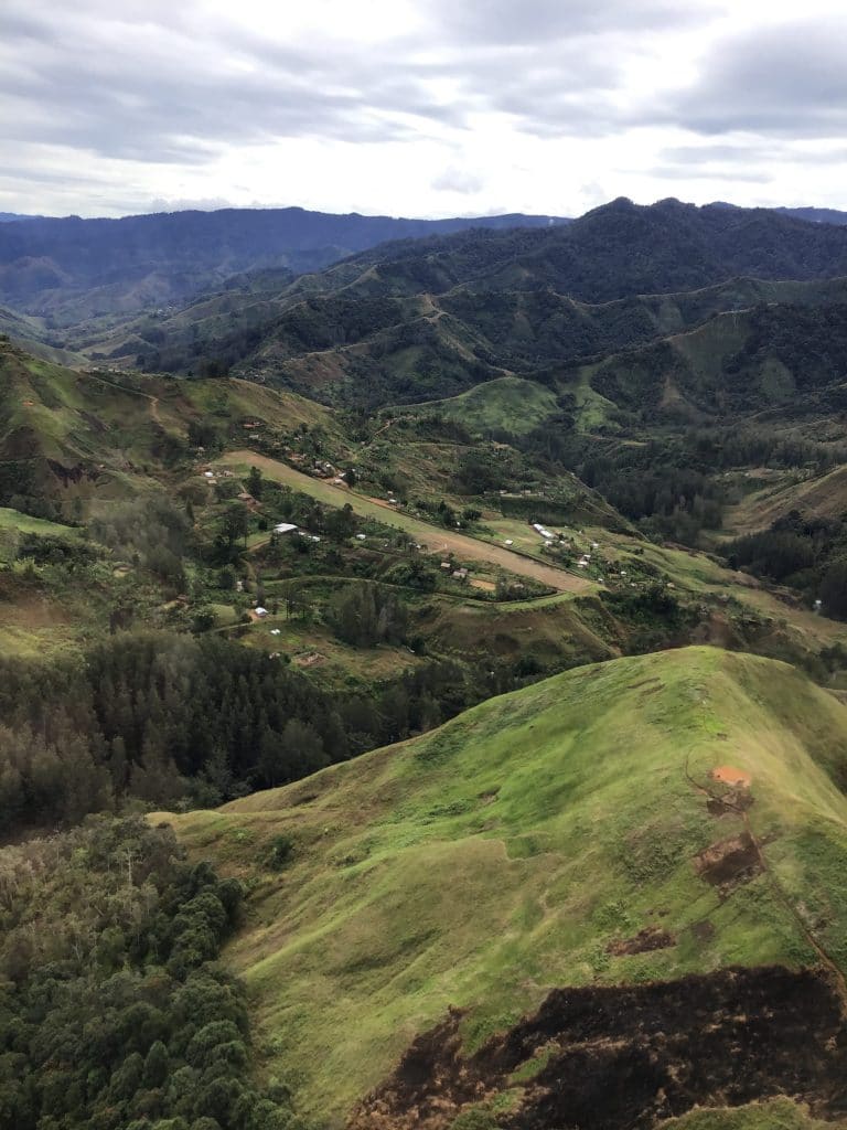
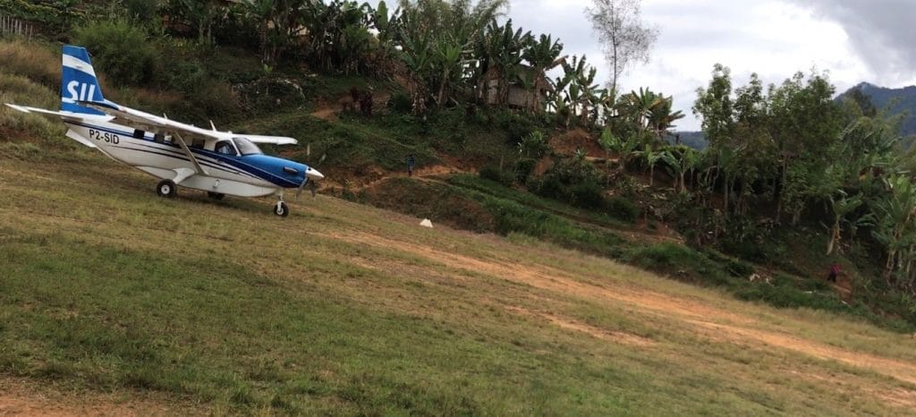
Wonenara presents a unique pattern for both takeoff and landing: the slope of the runway is opposite of the slope of the valley in which it sits. (Reference the runway chart below.) The average slope of the runway is 8%, which requires landing uphill and taking off downhill. But the approach to the runway is down the river valley. The approach path snakes left and right down the valley before lining up for final. The nice thing is that benchmarks in the valley make consistent approaches easy. (We call it a “bush ILS.”) And, if you get it wrong, the go-around is easy with a slight right turn continuing down valley.
When taking off, the pilot climbs on runway heading for only the first 300–400 feet before making a 180-degree-left turn away from the rising terrain.
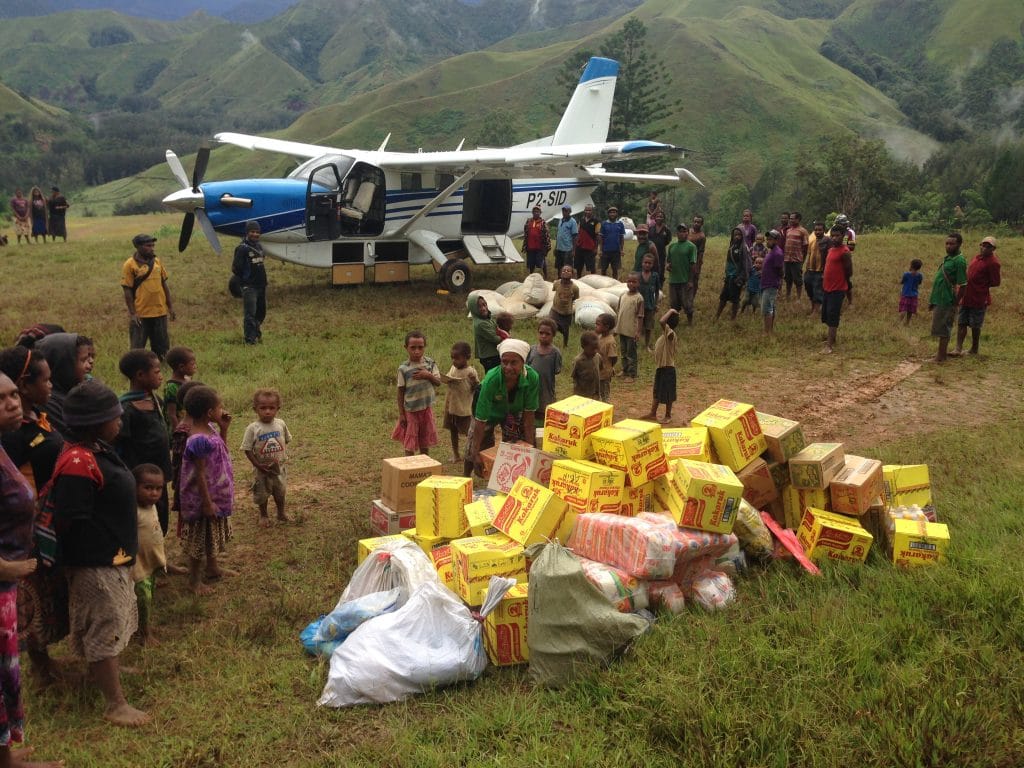
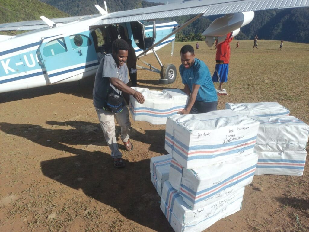
Wonenara sits in the mountains of central Papua New Guinea where some of the best coffee in the world grows. SIL PNG Aviation serves the local community by flying airplane loads of coffee out for sale to coffee factories and eventual export. These flights enable local coffee growers to earn income from selling their coffee, and revenue from the flights helps to subsidize SIL PNG Aviation flights in support of Bible translation.
View chart here.
Watch a take-off here.
Watch a landing here.
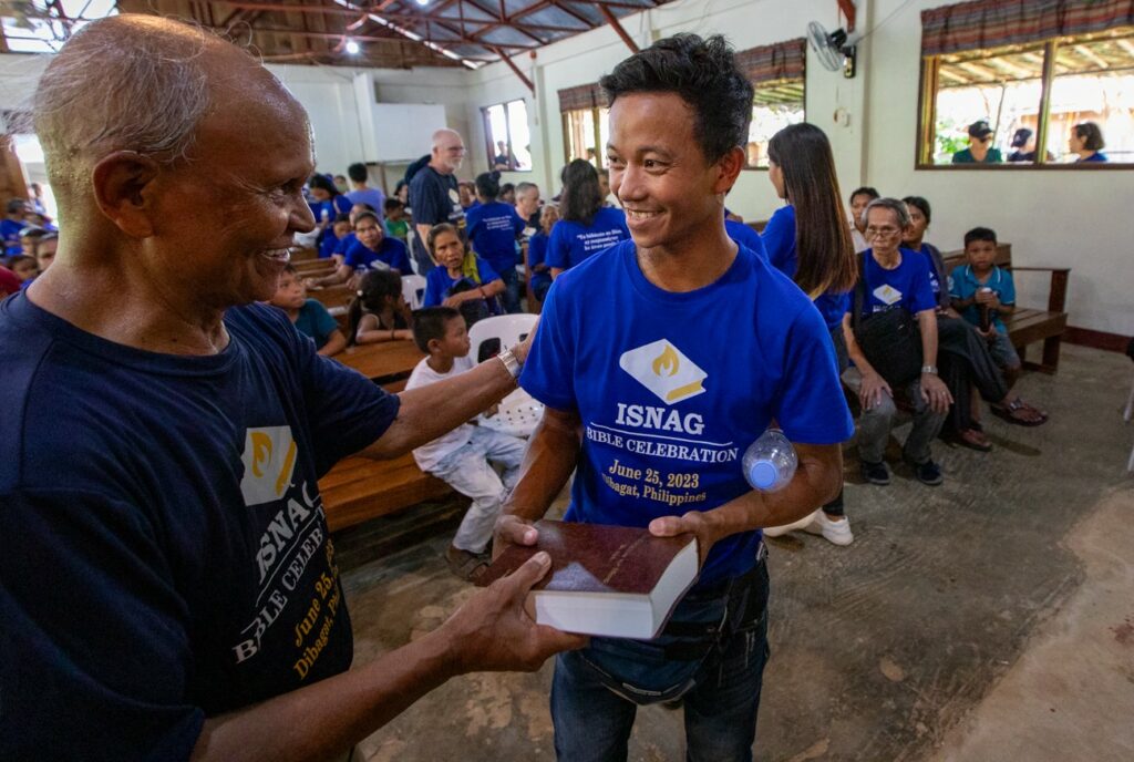
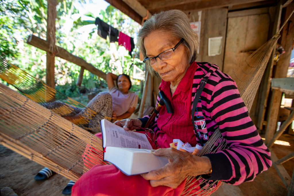
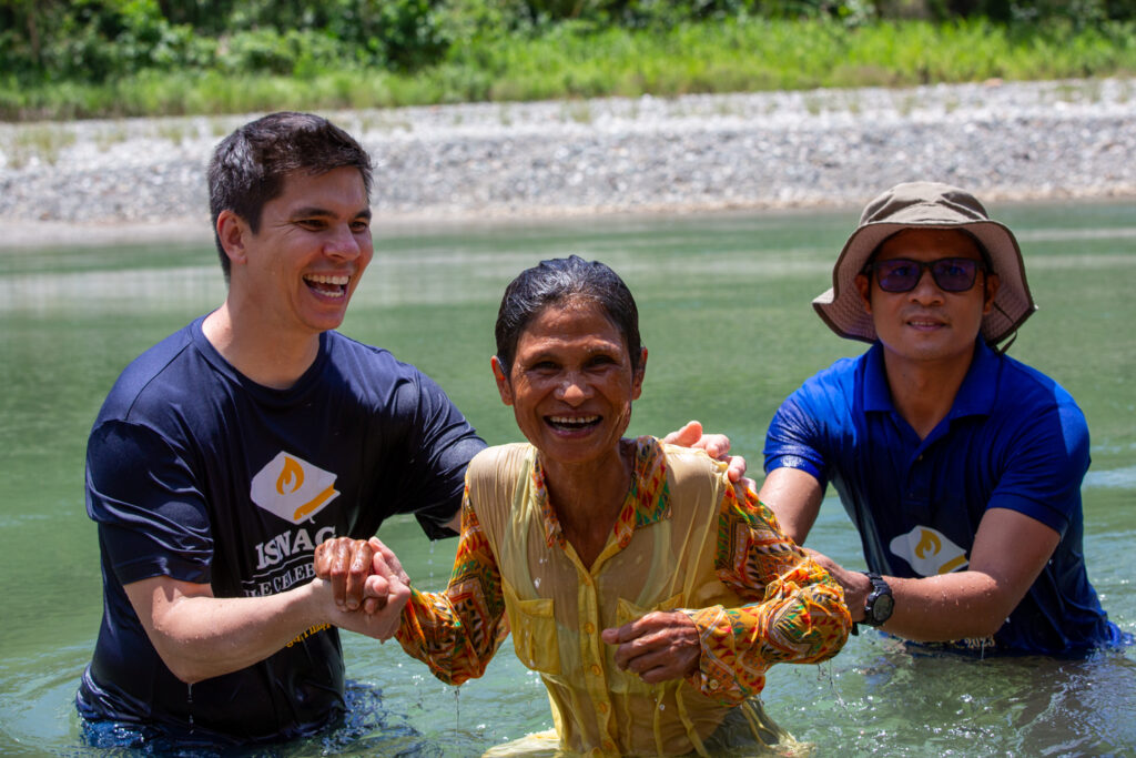
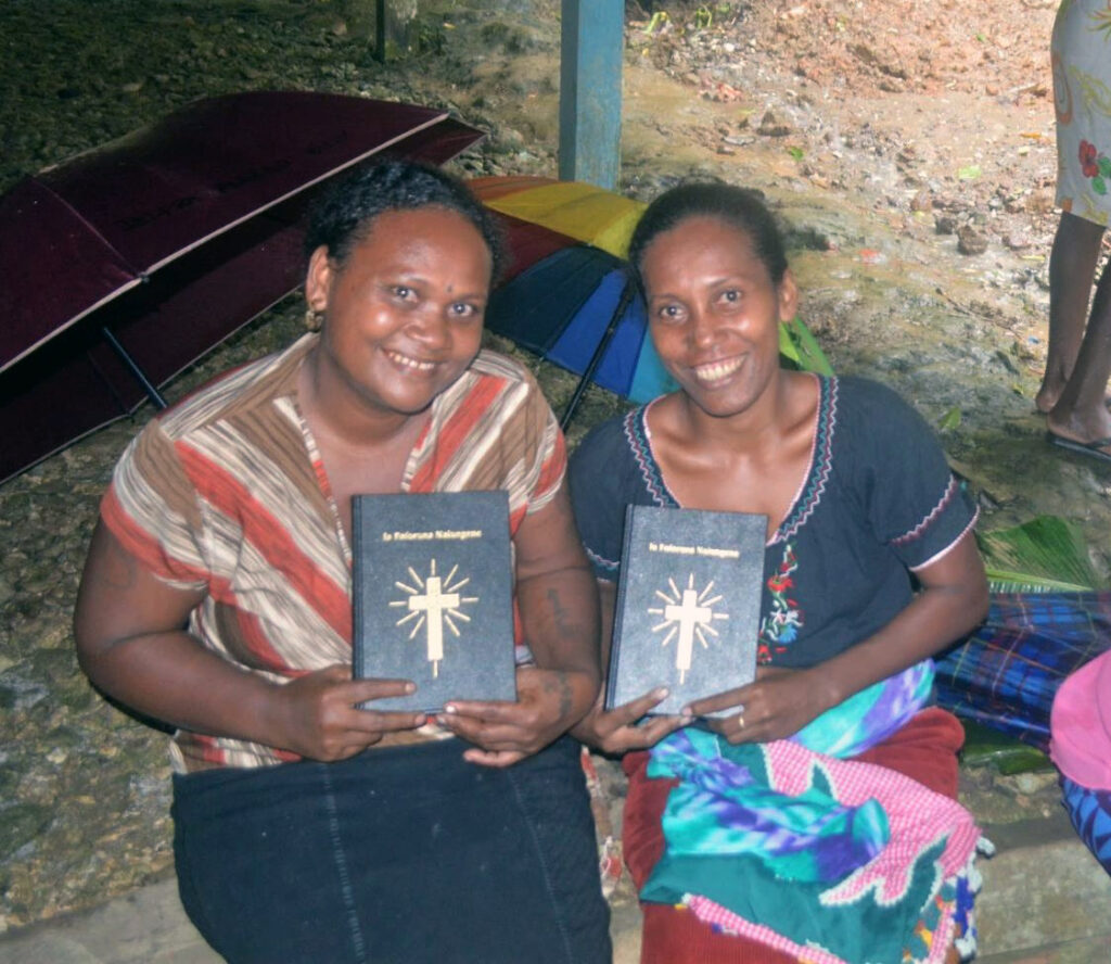
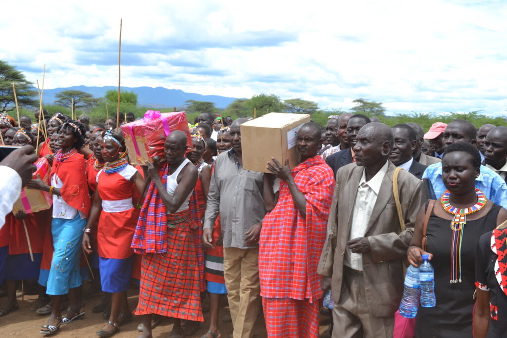
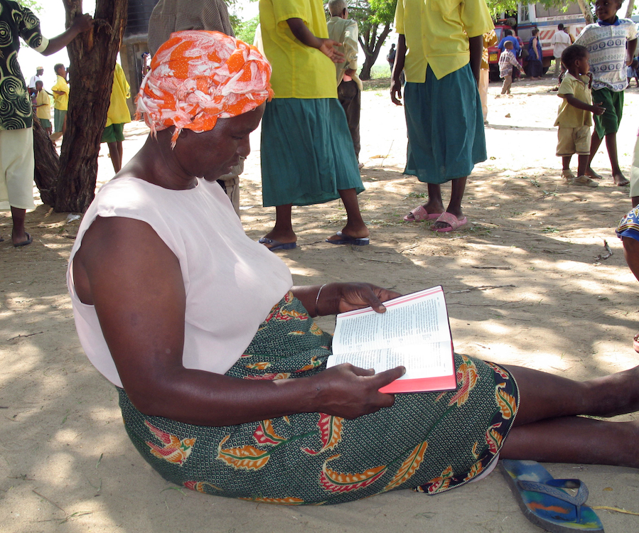
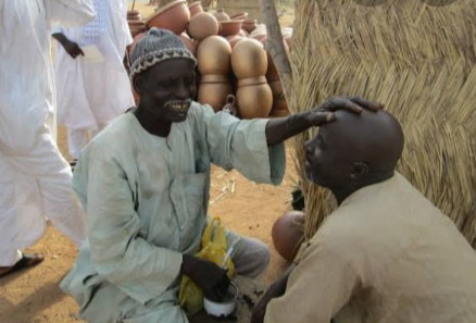
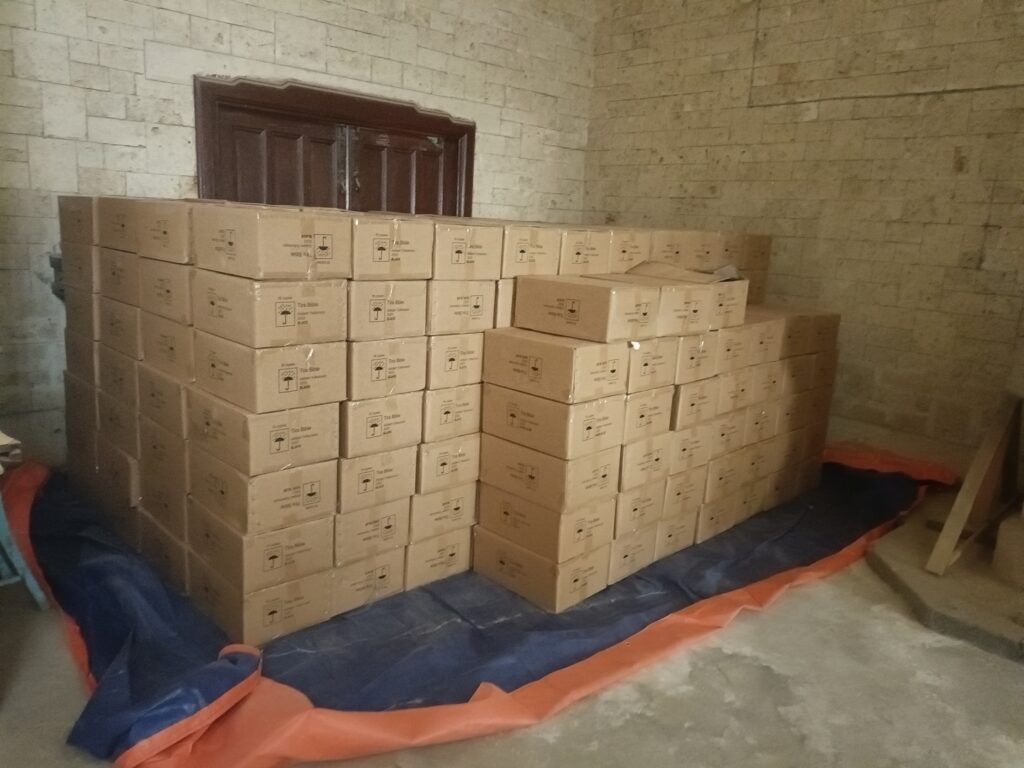
View more photos below: