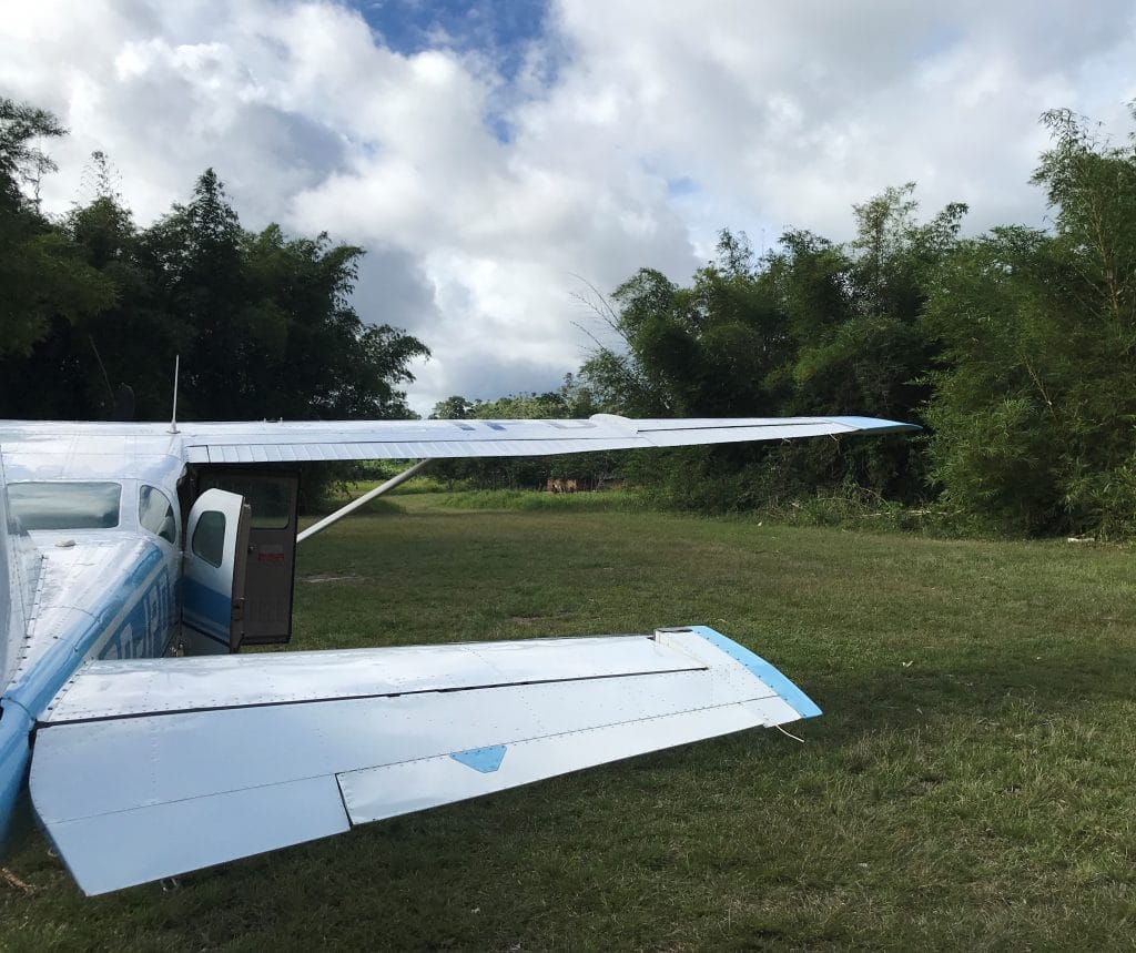
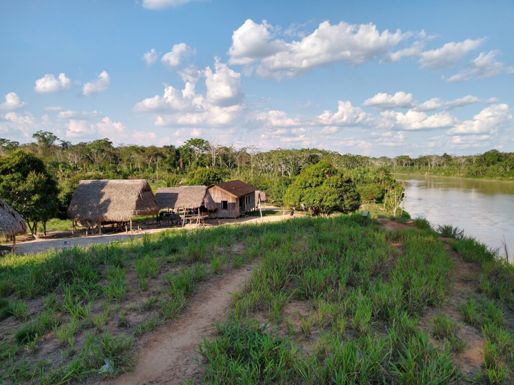
Touchdown Zone: M*
Airstrip: M*
Region: Brazil
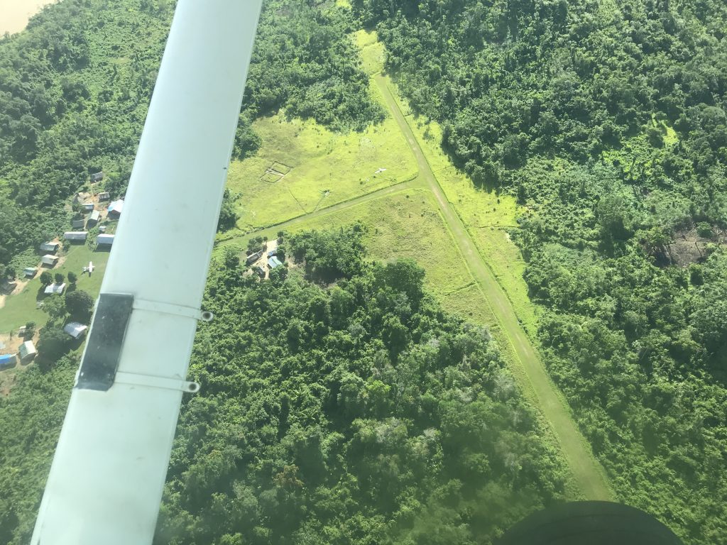
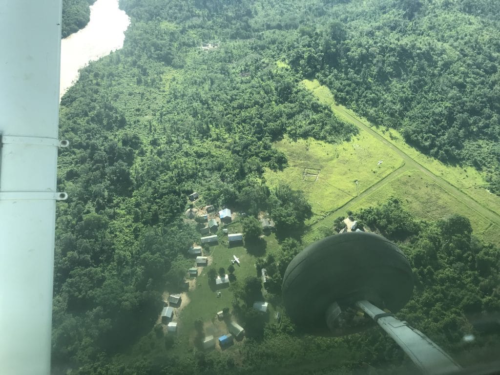
Surface: Grass
Elevation: 740 feet
Length: 530 meters/1,739 feet
Width: 12 meters/39 feet
Slope: 3.5%
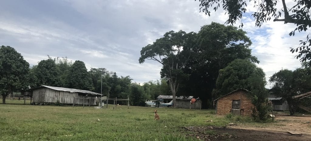
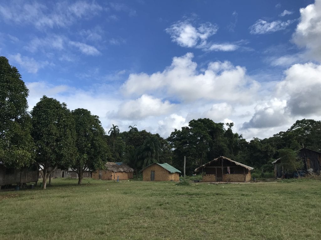
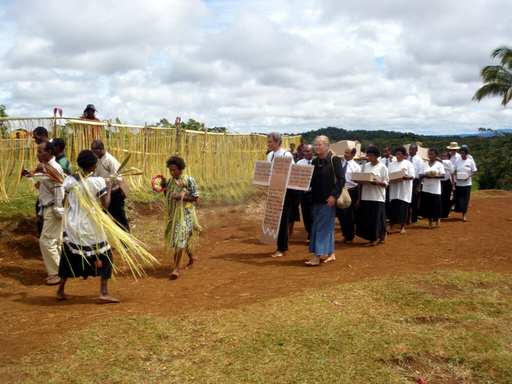
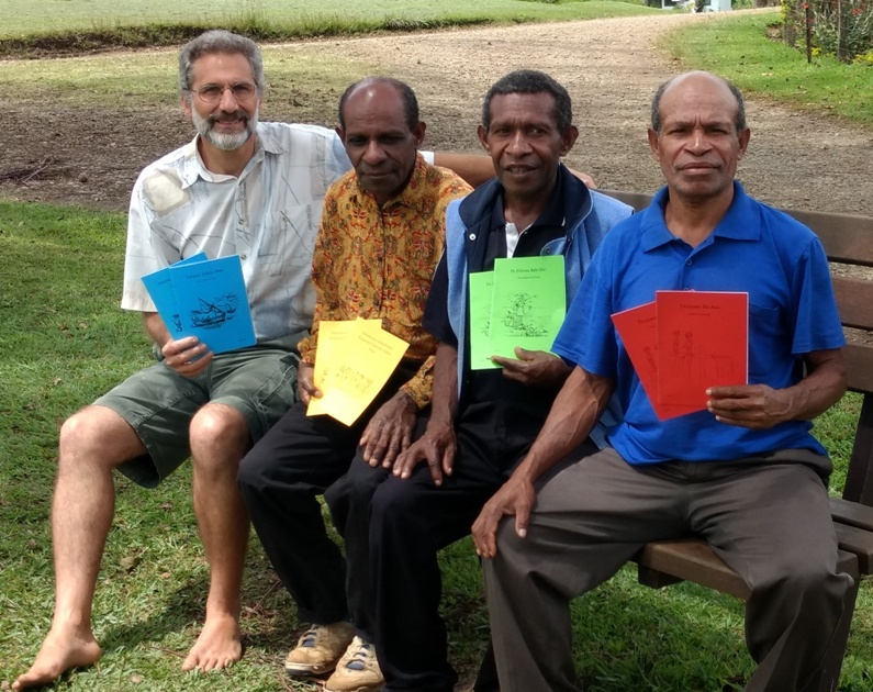
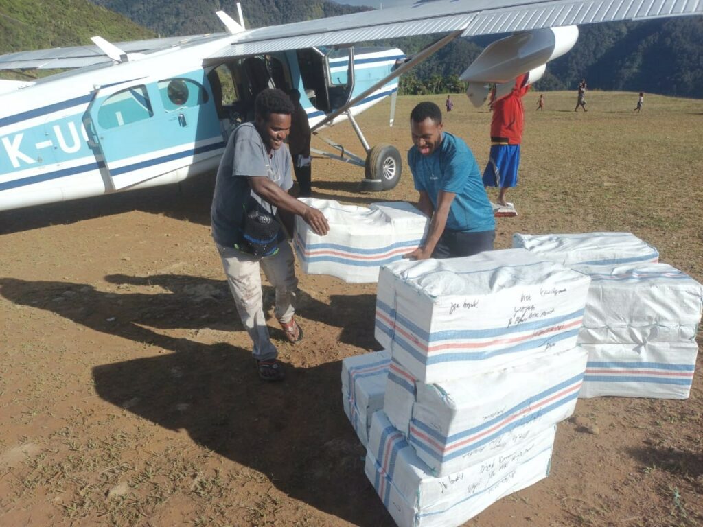
Interesting Facts: Five missionaries are serving here in church planting, literacy training in the local school, and discipleship. The New Testament translation is nearing completion, and before the end of this year, work will begin on the Old Testament.
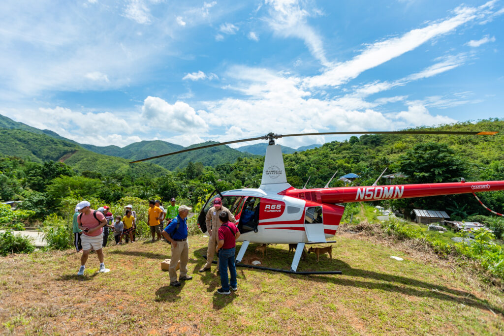
Time Saved: It is a 50-minute flight from base to the M area. The overland trip begins with several hours by car to the river followed by two long days by canoe. The canoe travel requires a very skillful boatman because there are dangerous rapids at three different points along the route. Indigenous people have lost their lives trying to navigate these hazardous waters. During dry season the canoe and cargo must be carried overland at these points.
Watch a takeoff from M here.
View the M airstrip chart here.
*Pseudonym