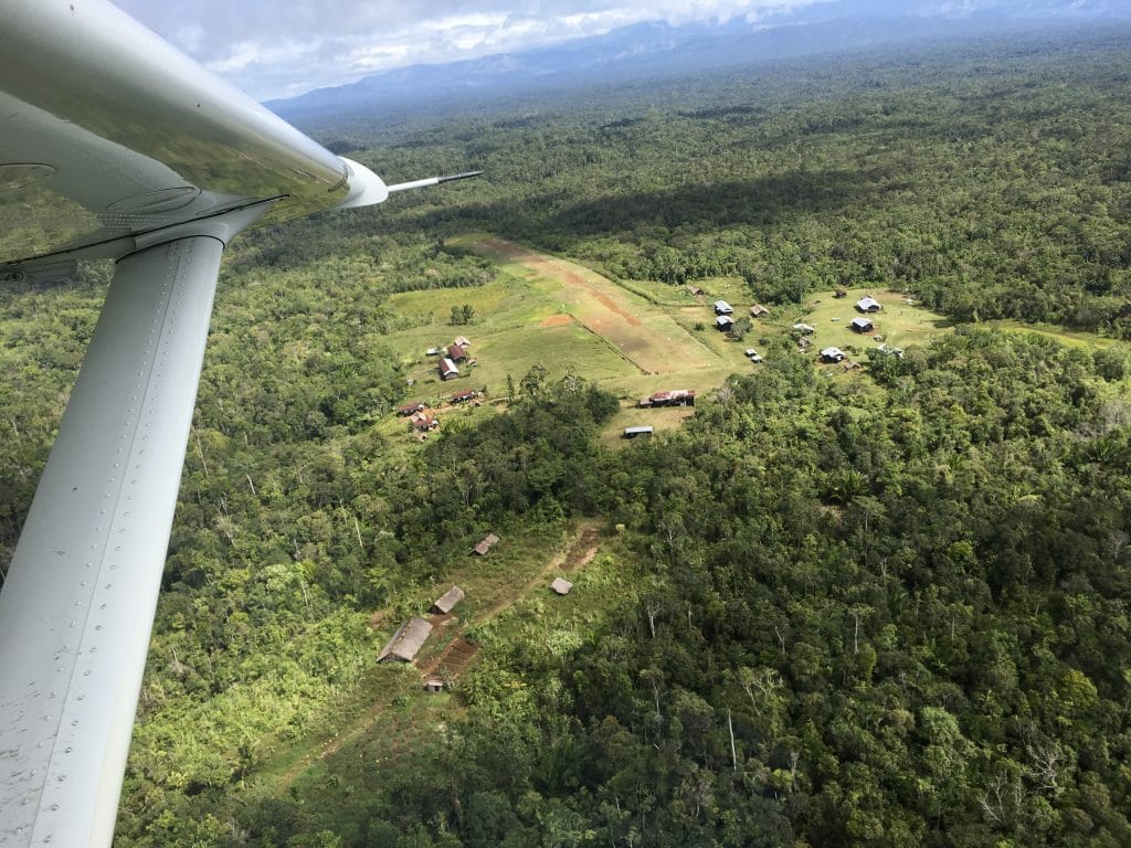
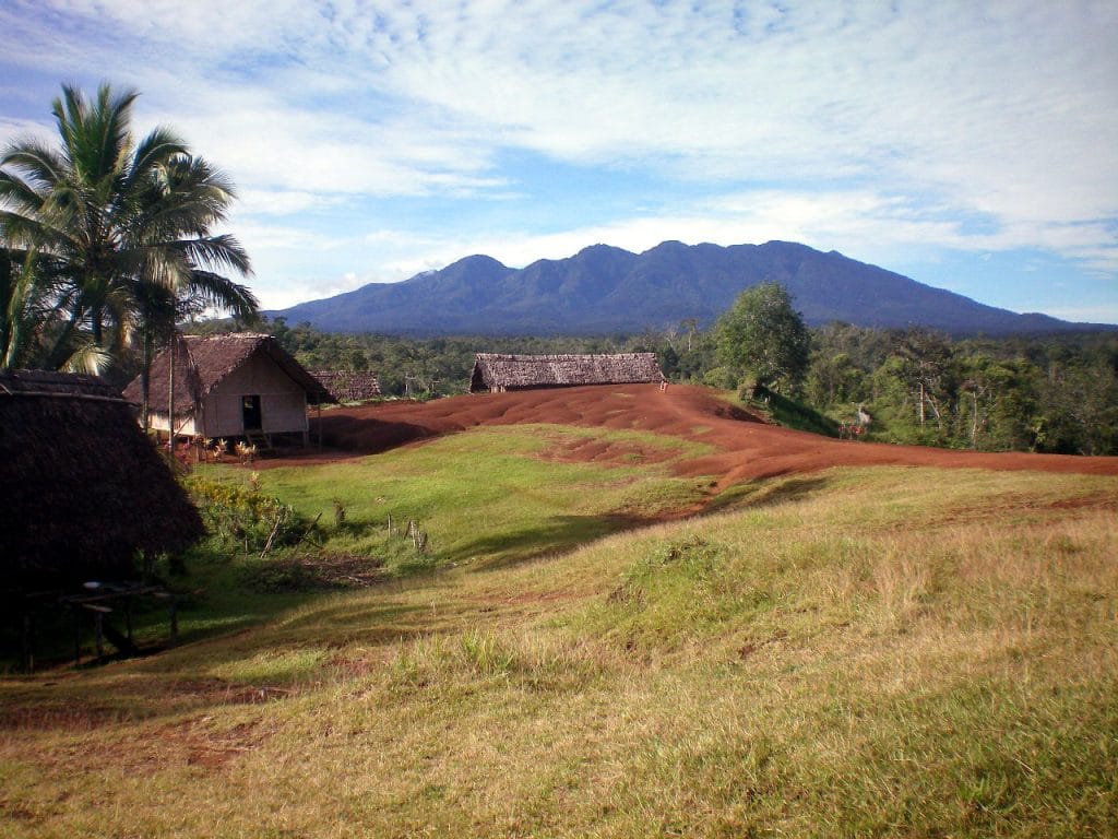
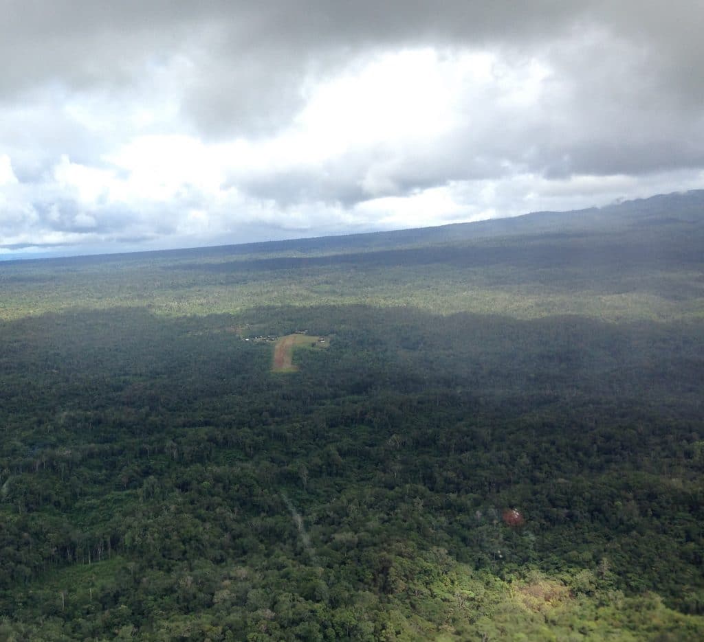
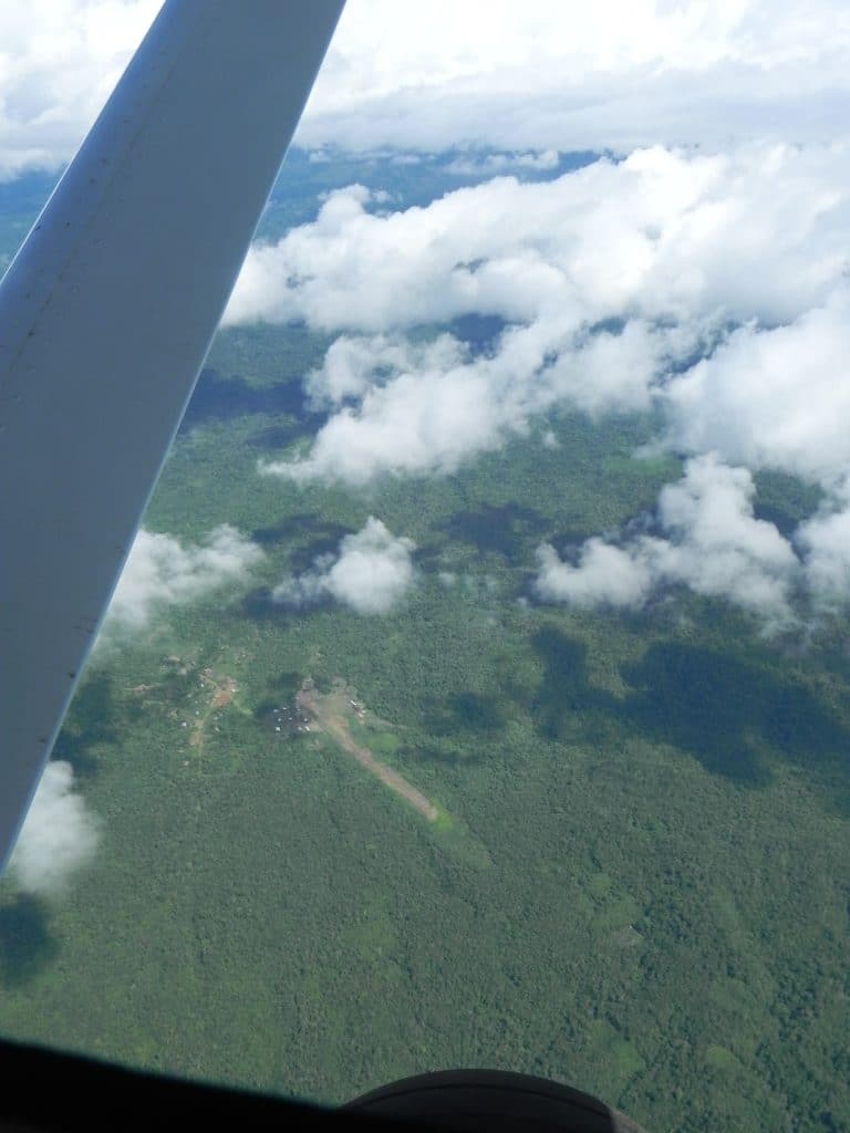
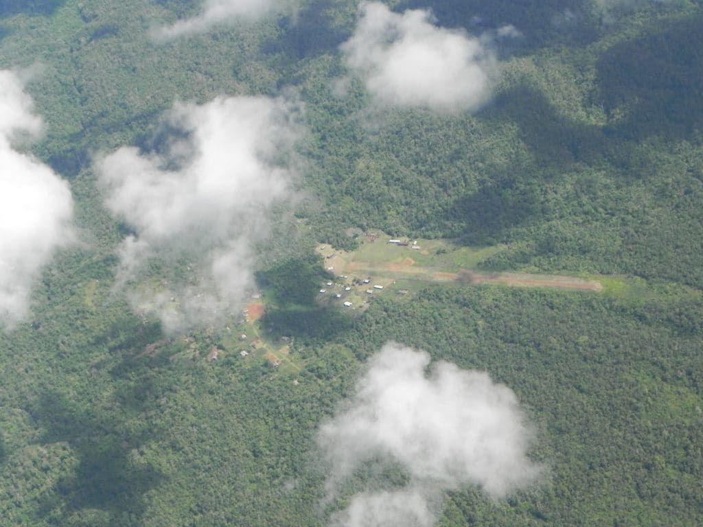
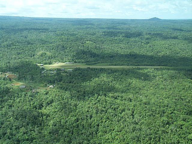
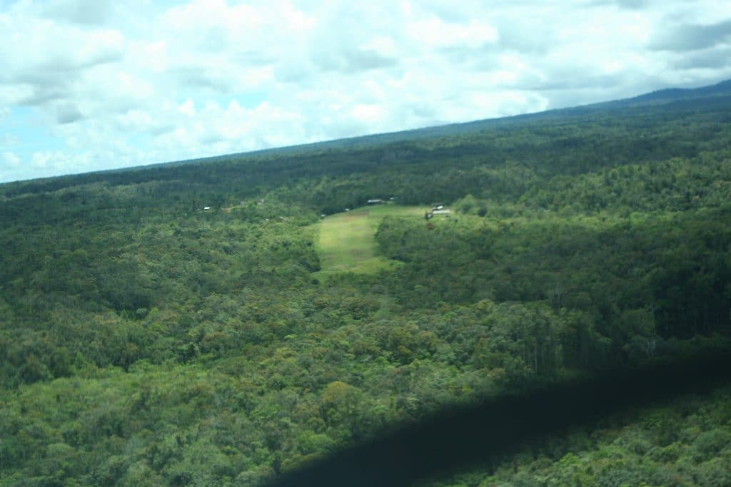
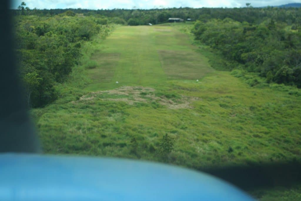
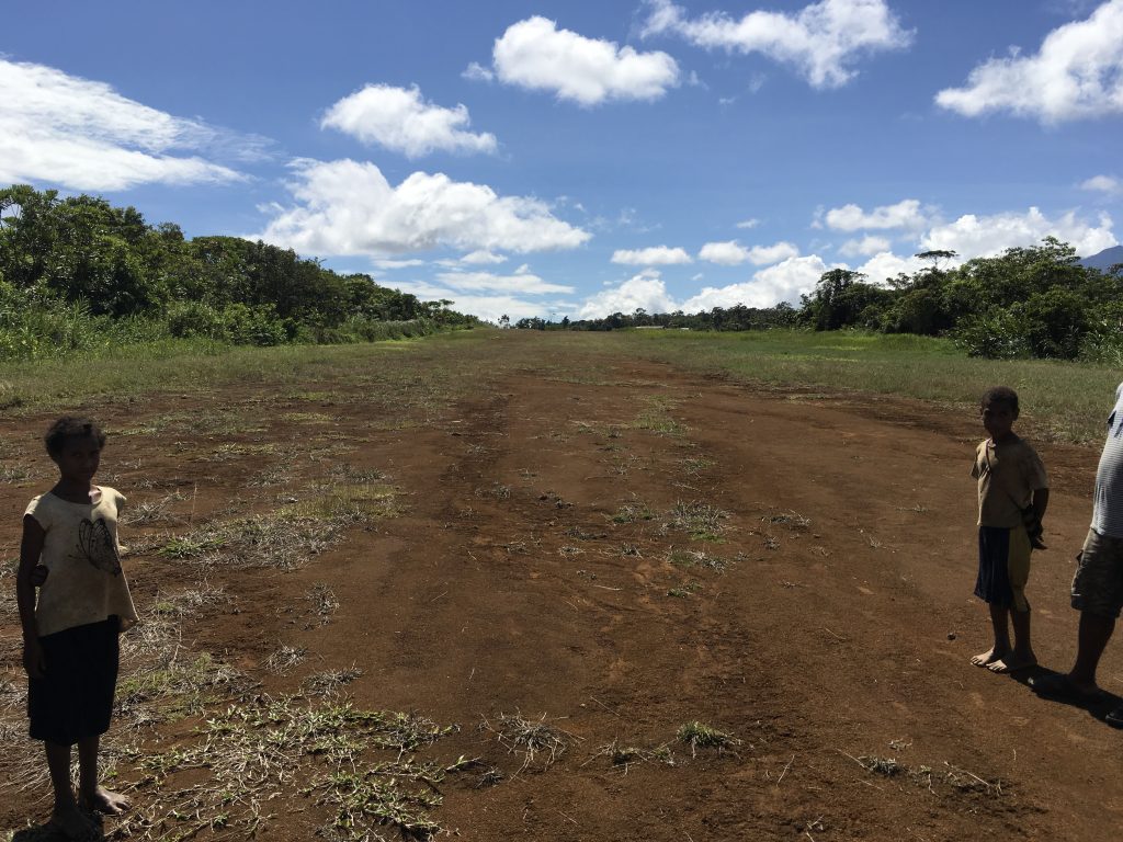
TouchDown Zone: Bosavi
Airstrip: Bosavi
Region: Southern Highlands Province of Papua New Guinea
Surface: Grass and soil
Elevation: 2,300 feet
Length: 600 meters/1,969 feet
Width: 18 meters/59 feet
Slope: 3% overall
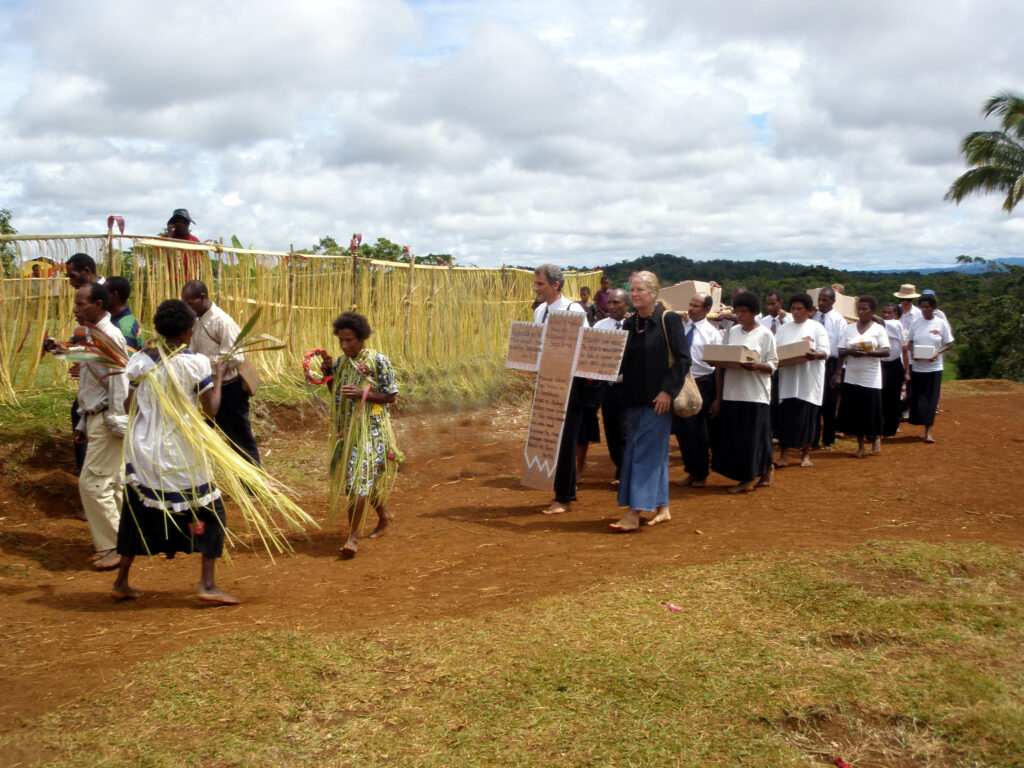
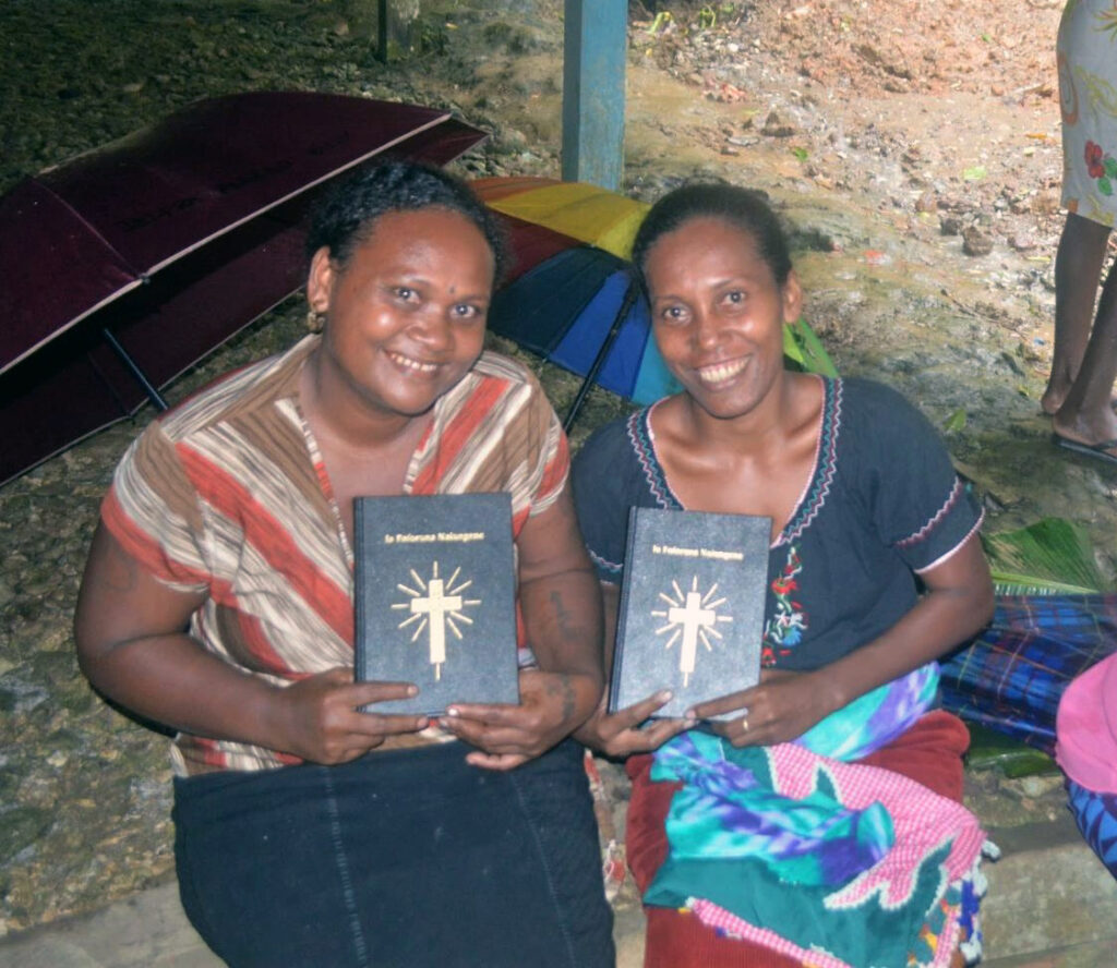
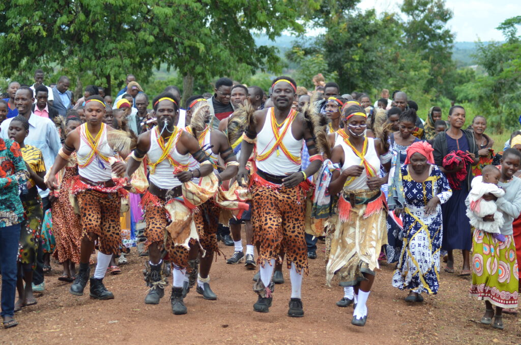
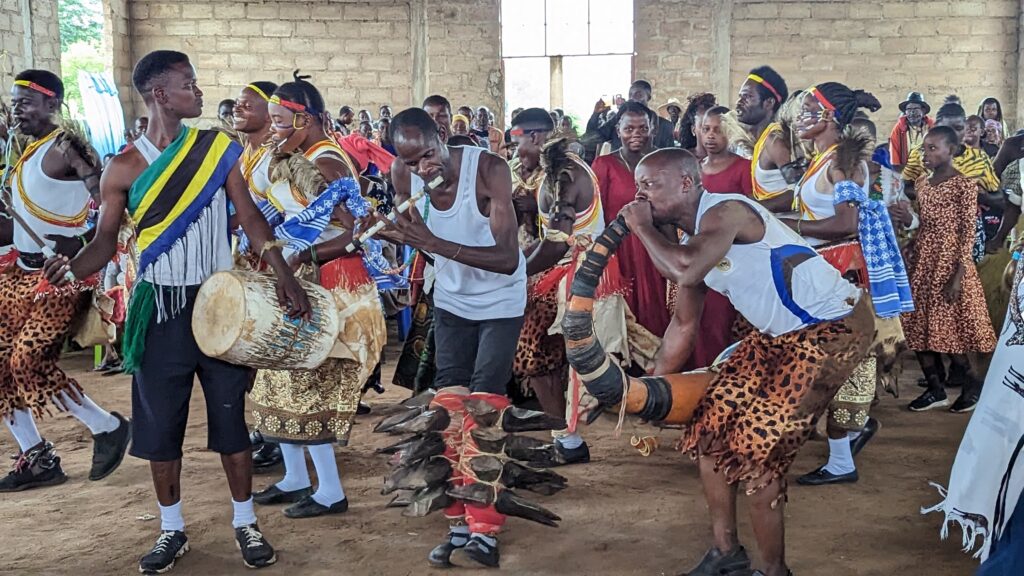
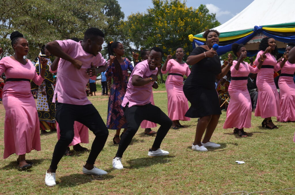
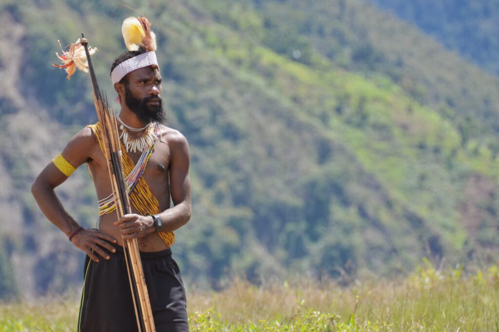
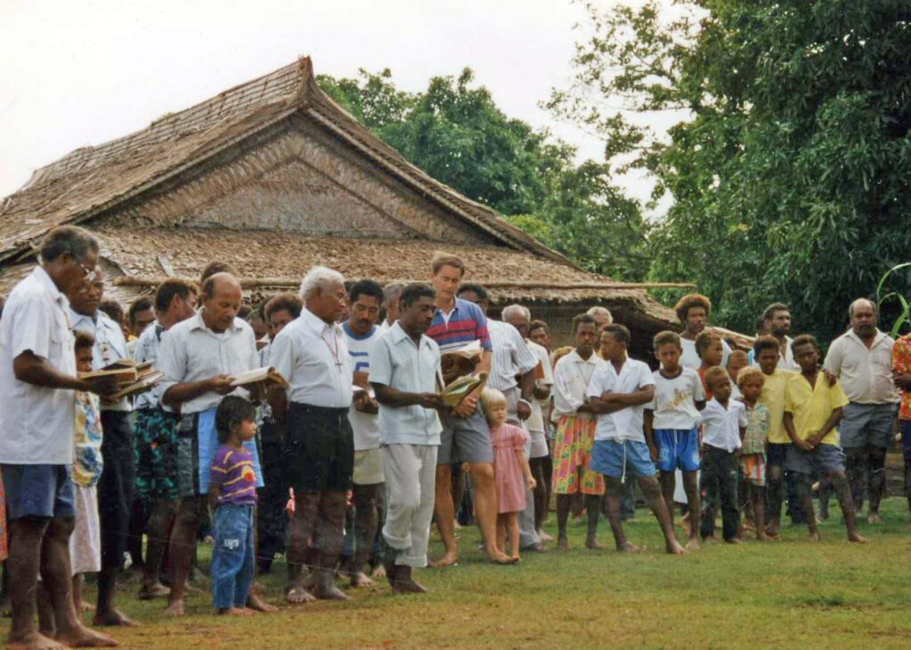
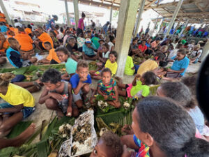
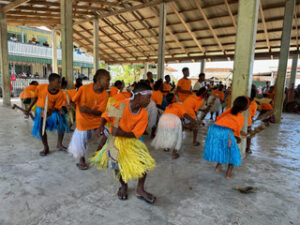
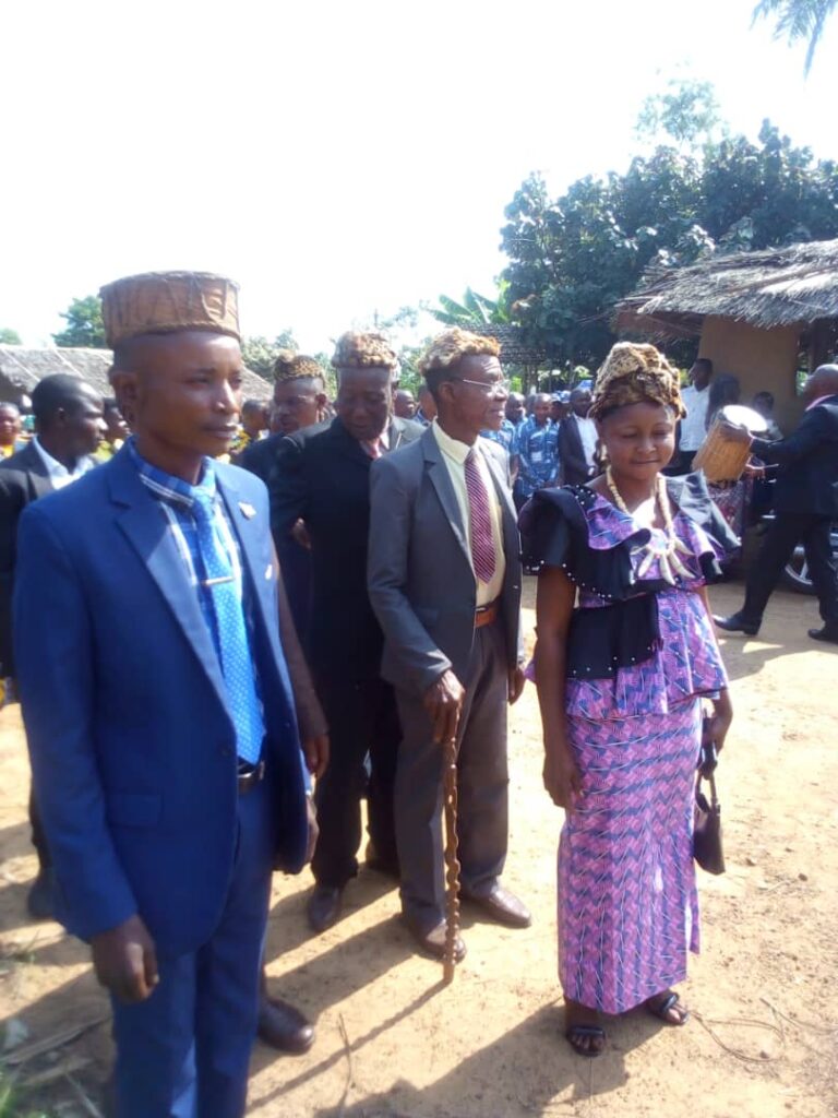
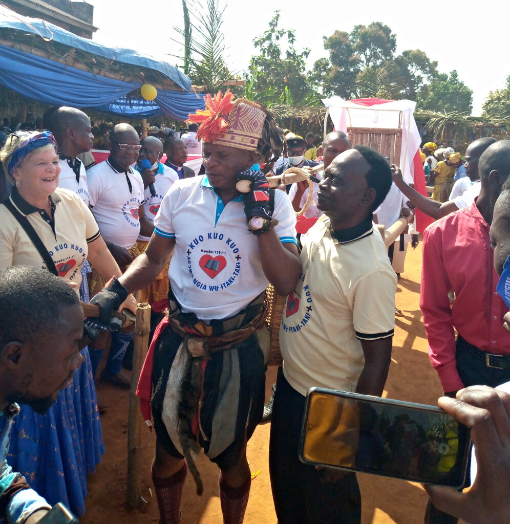
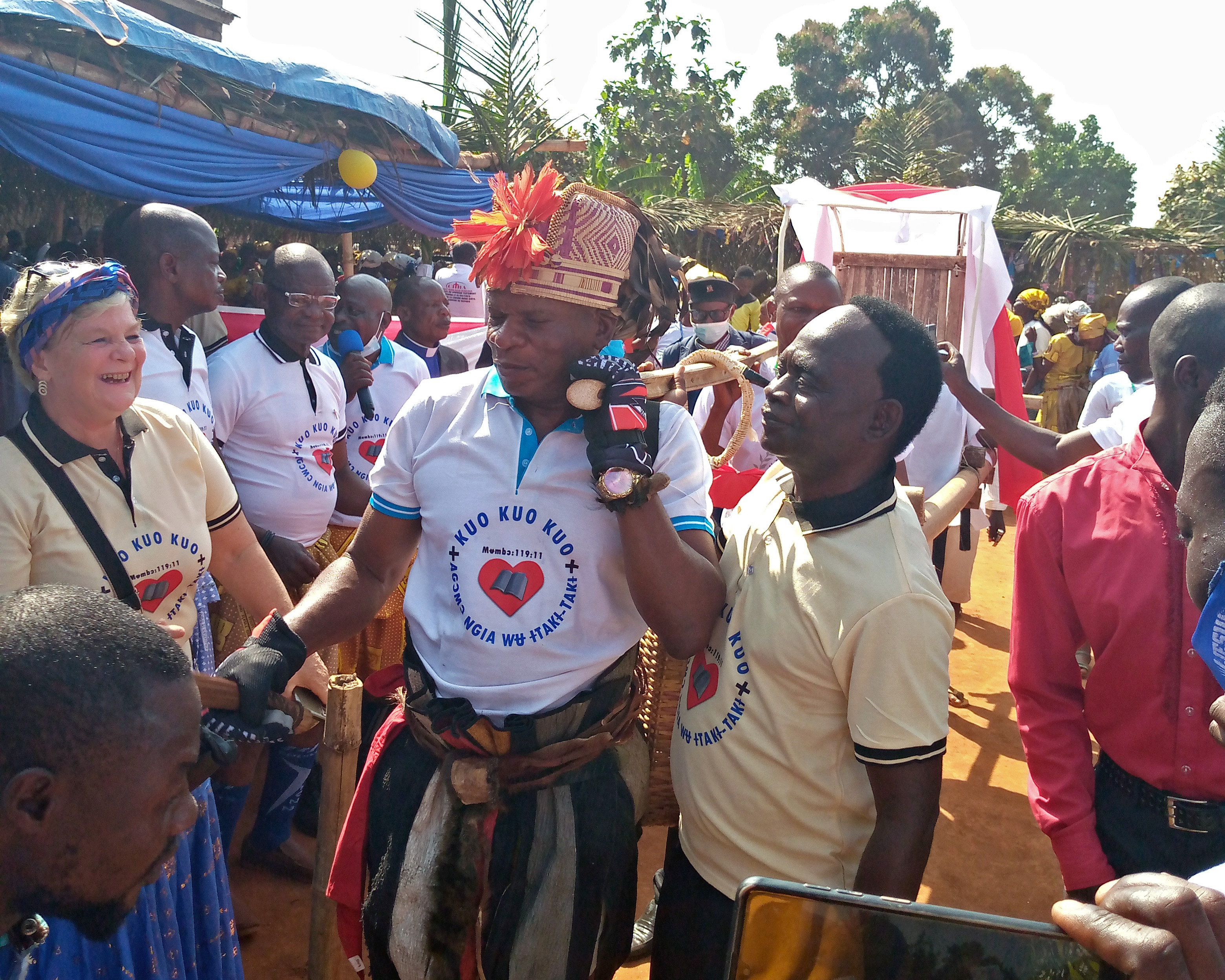
Language Group served: Kaluli
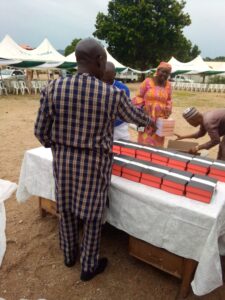
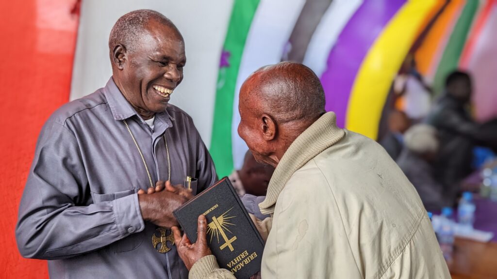
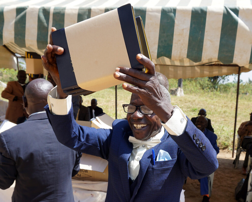
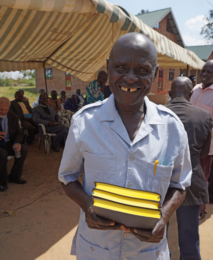
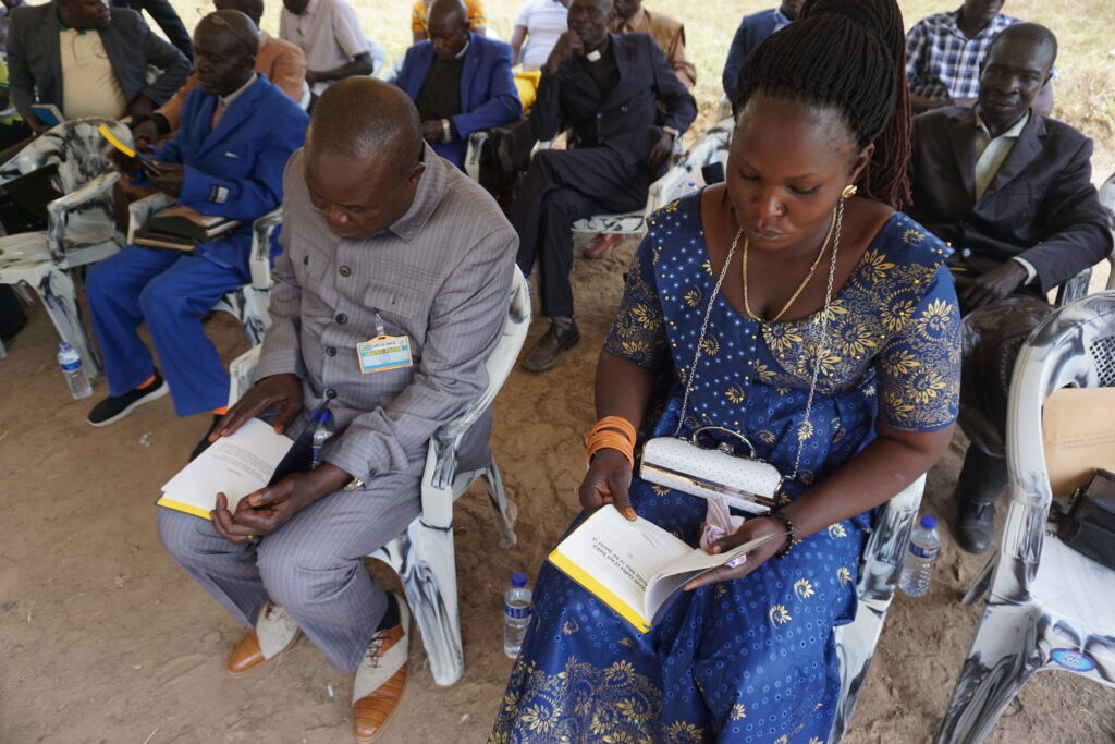
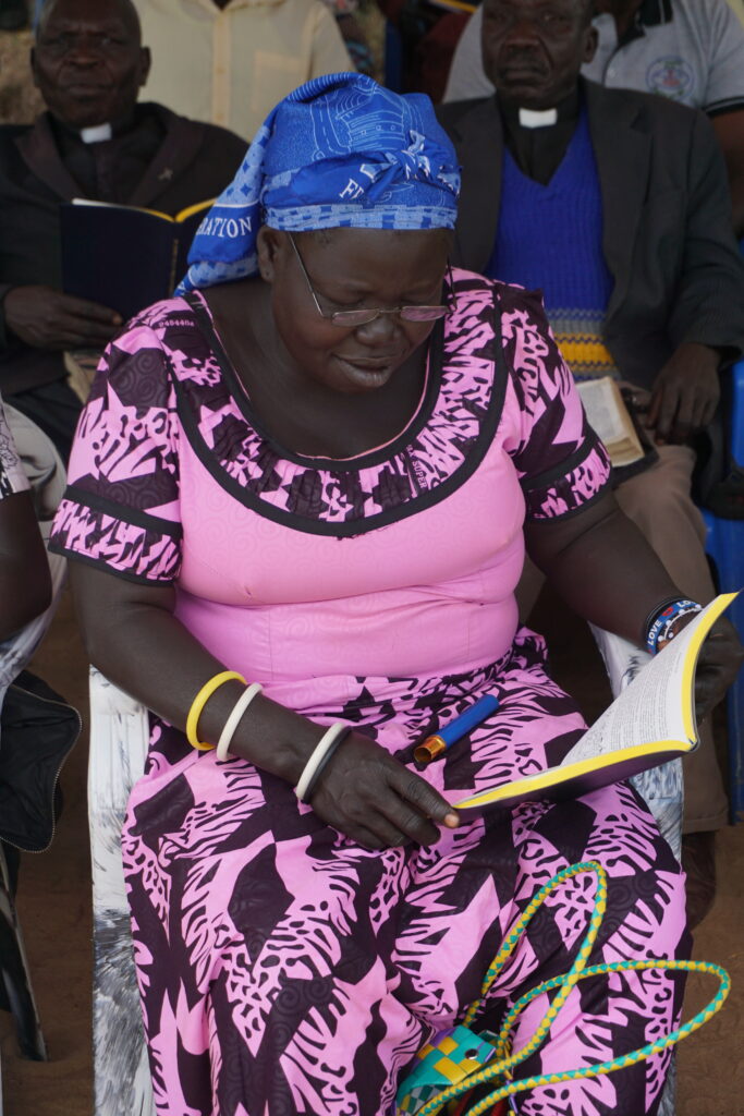
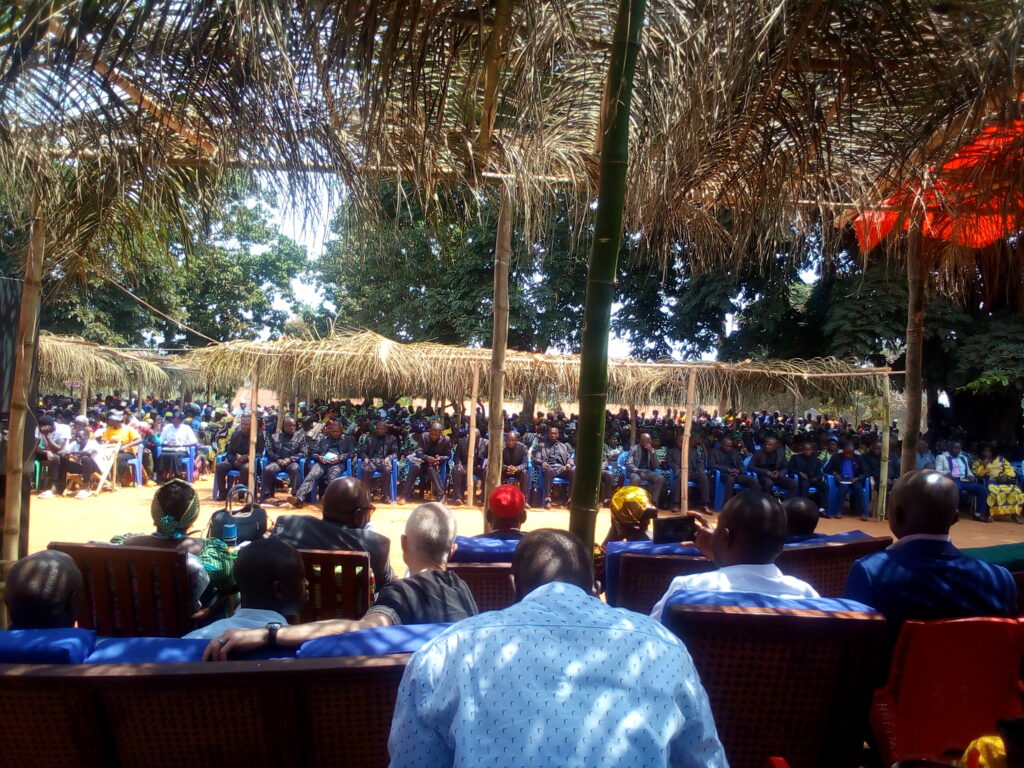
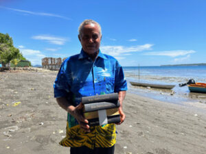
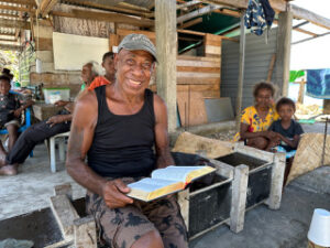
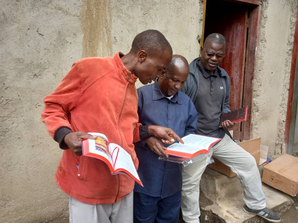
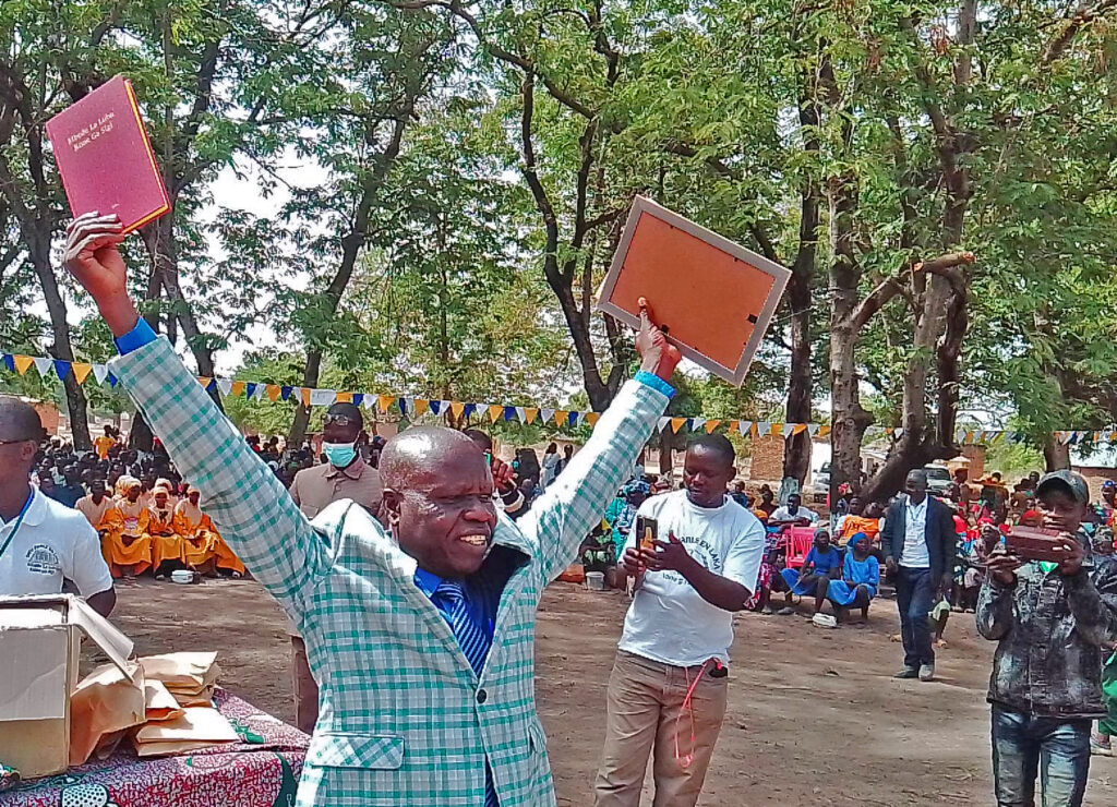
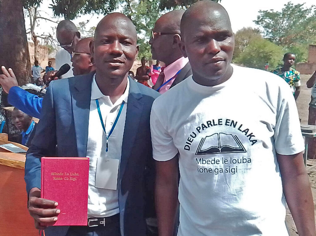
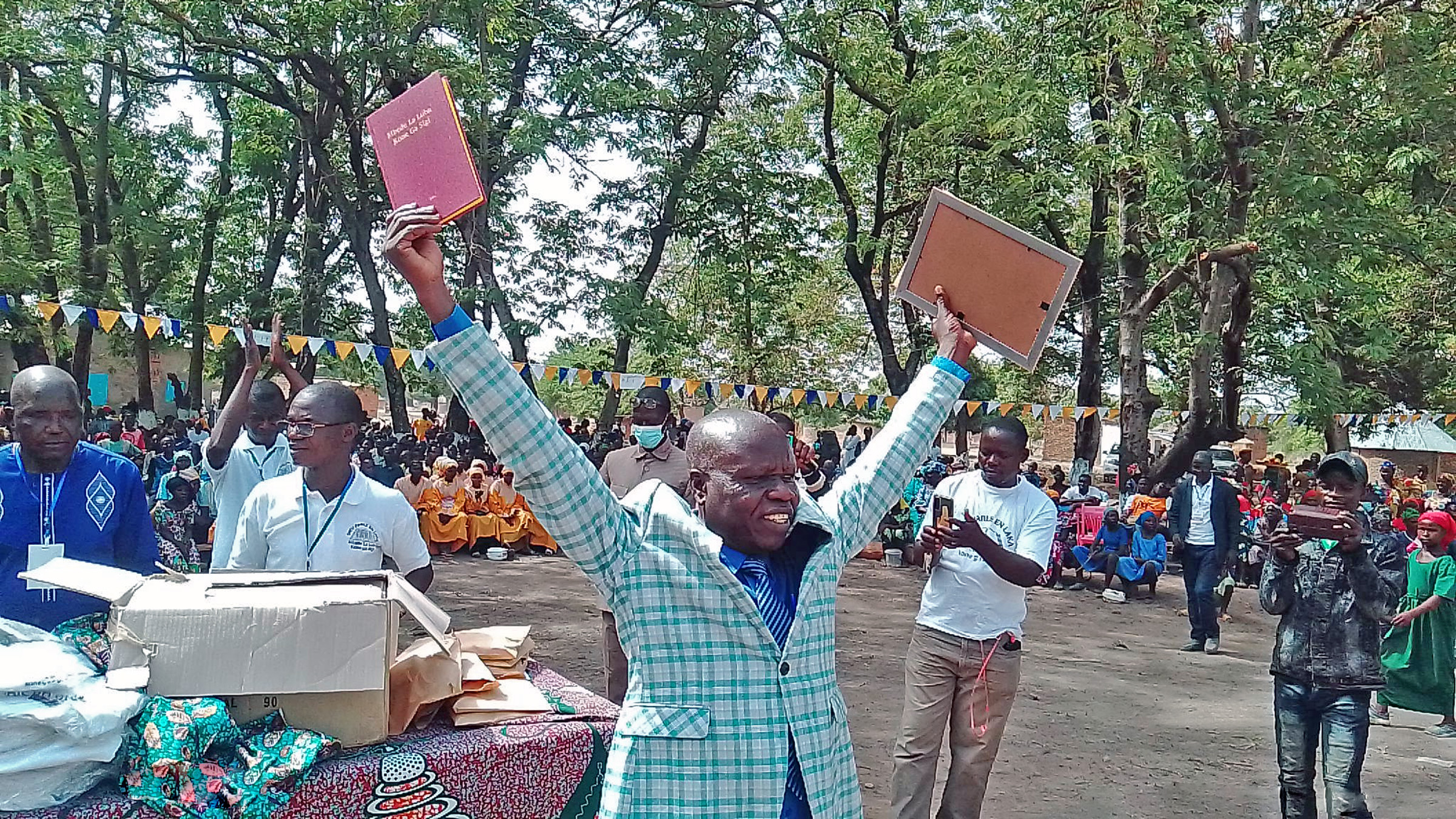
When the Evangelical Church of Papua New Guinea (PNG) initiated the Kaluli translation project in the early 1990s, they invited our Bible translation partner in PNG to assist the local church efforts. Local Kaluli translators, along with translation advisors Andy and Sylvia Grosh, have now drafted 100 percent of the New Testament, along with several Old Testament books. About 80 percent of the New Testament has been consultant-checked, and the local church is eager to see its completion.
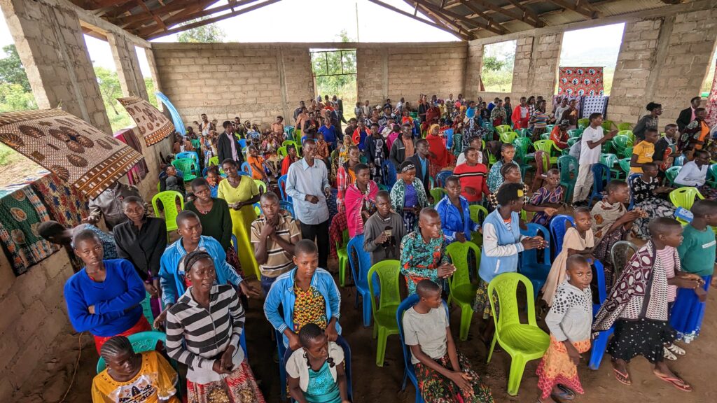
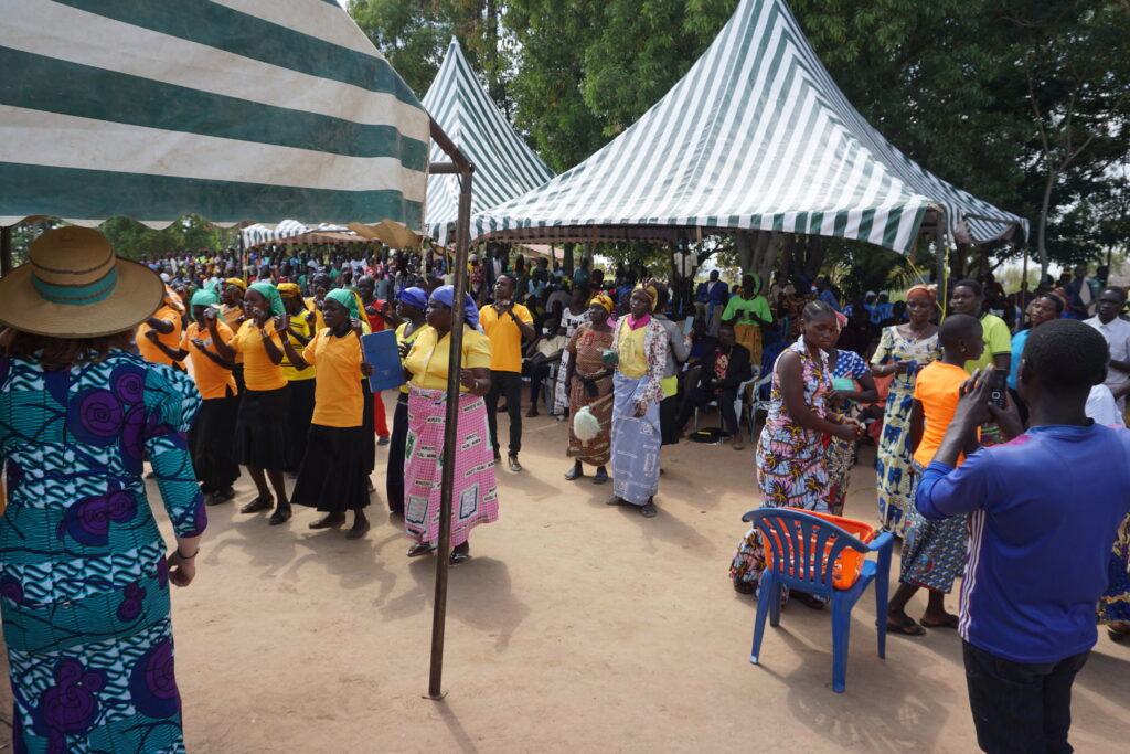
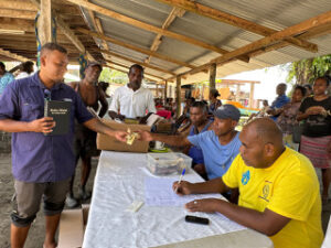
The Groshes provide training in language development and translation skills for the Kaluli translation team and assist them in making Scripture available in print and audio formats. They also provide materials and training to local teachers to promote literacy. Another goal is to help promote greater sustainability for six other translation projects in the Bosavi area by creating a local network of language development workers who can provide encouragement and technical support to each other.
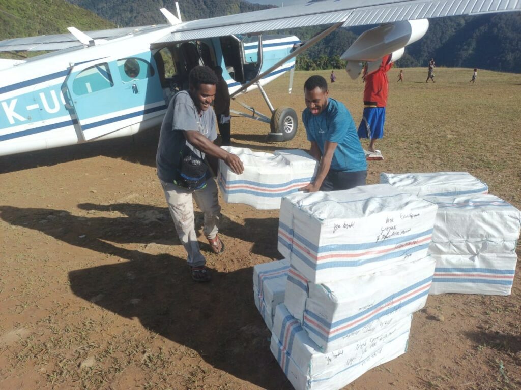
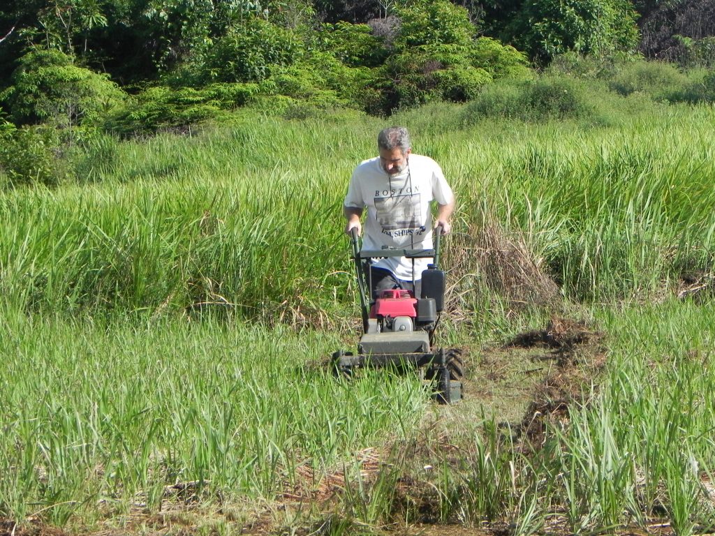
Interesting Fact: The airstrip was closed for over six months due to needed repairs, so the local community had to work hard to get it back into good shape. They had to clear all the long grass with machetes and then re-level the badly eroded surface shovel by shovel. The Groshes provided 20 fiberglass cone markers so that pilots can see how to line up for landing and takeoff. The airstrip officially re-opened in February 2019. This is good news for the translation program and also for villagers who rely on this airstrip as their only means of contact with the outside world.
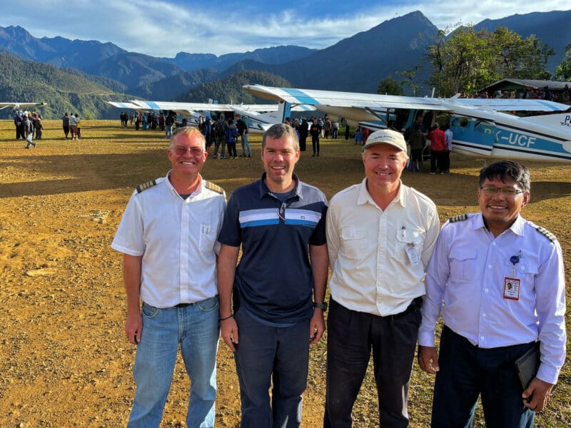
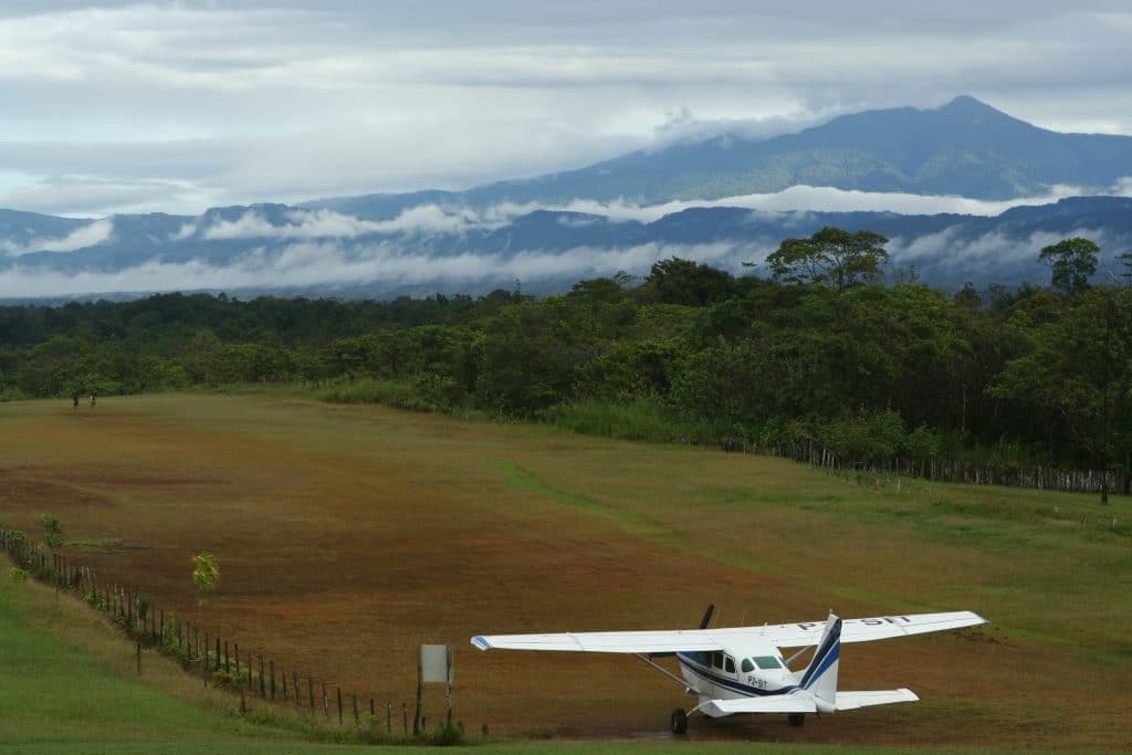
Time Saved: Bosavi is a 1 hour 20 minute flight from the translation center at Ukarumpa. When the Bosavi runway is closed, this trip takes much longer and requires extensive hiking. One option requires flying 1 hour 20 minutes to the neighboring village of Walagu, followed by a seven-hour hike to Bosavi. Flying time between Walagu and Bosavi is about five minutes.
A second option is a similar flight to Muluma, another neighboring airstrip, followed by a four-hour hike over very steep mountain ridges with 15 rivers to cross before reaching Bosavi. During times of rain these rivers flood and quickly become impassable, so this route is very unpredictable.
*Photos provided by SIL Aviation Papua New Guinea