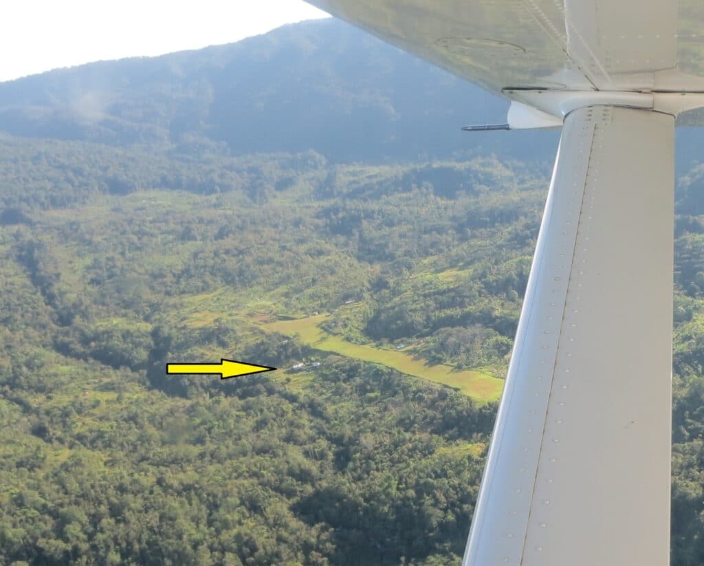
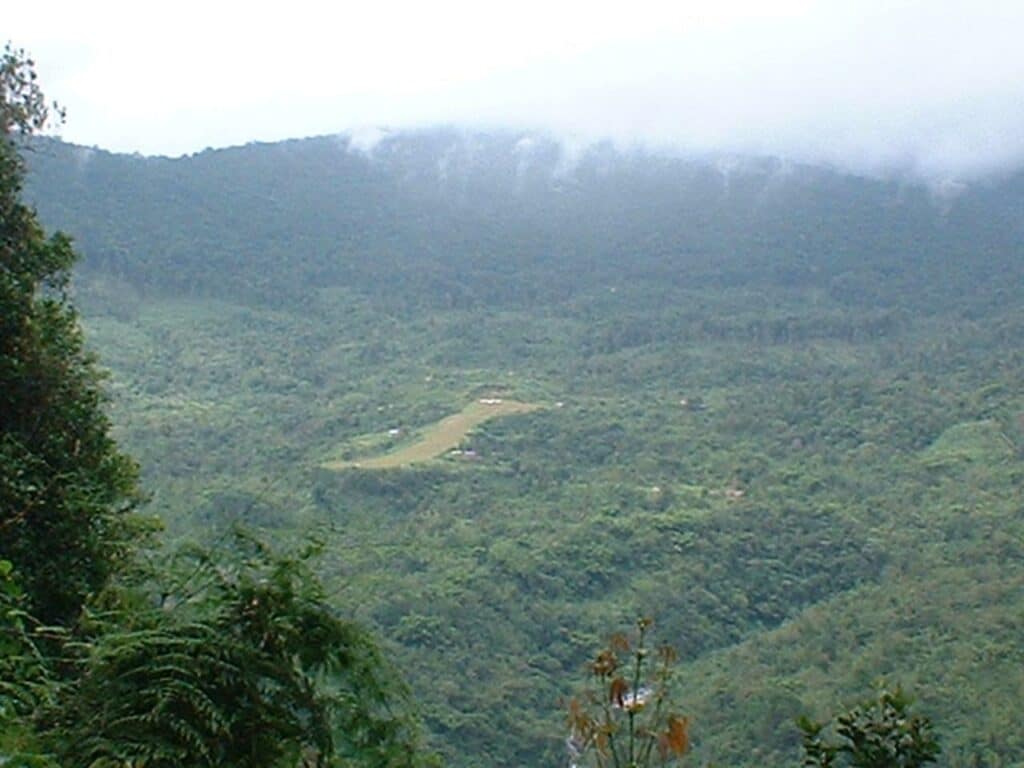
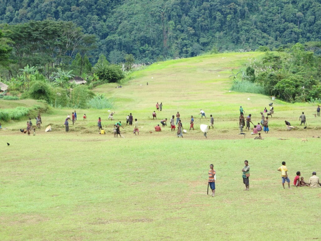
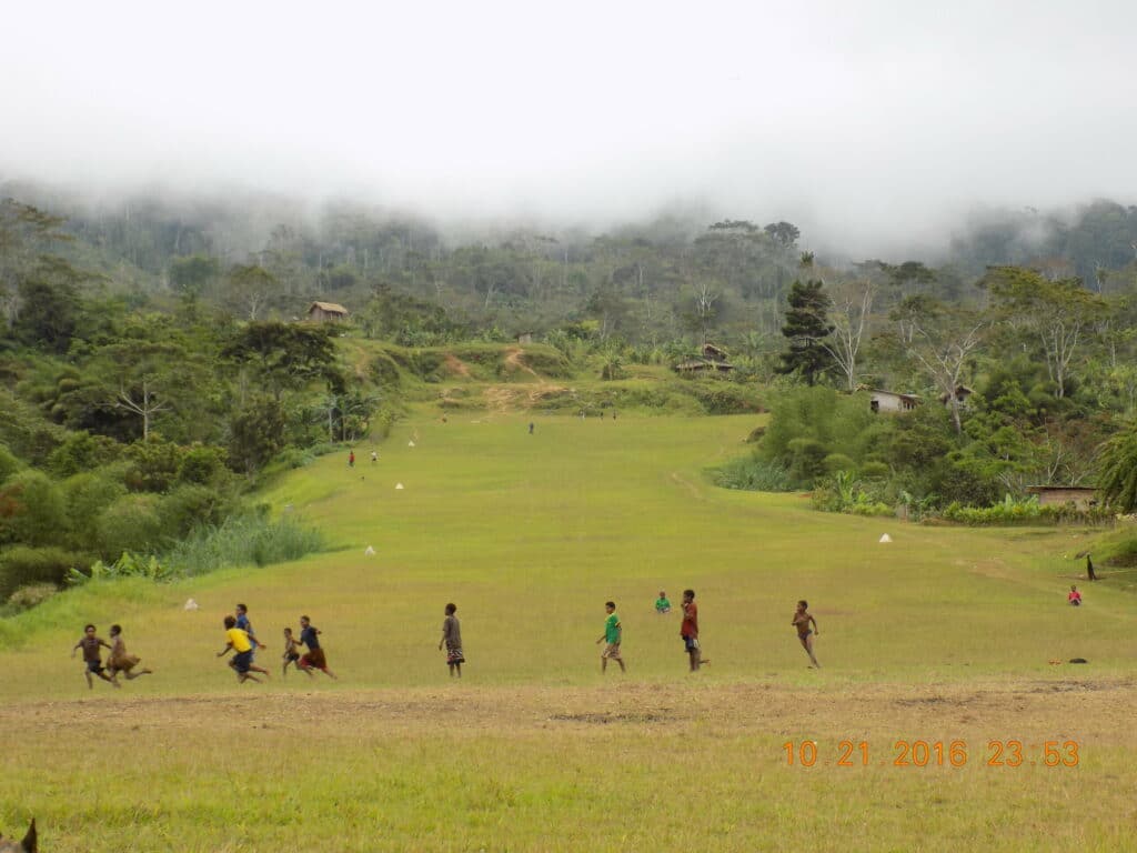
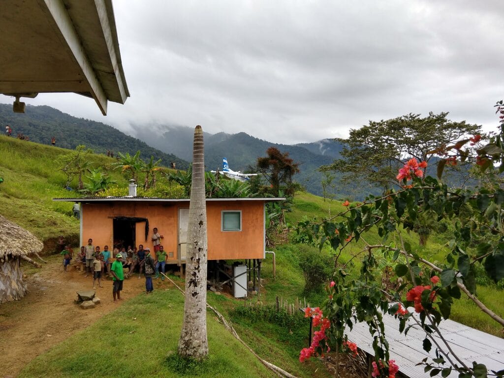
Touchdown Zone: Bu’u
Airstrip: Bu’u
Region: Gulf Province of Papua New Guinea
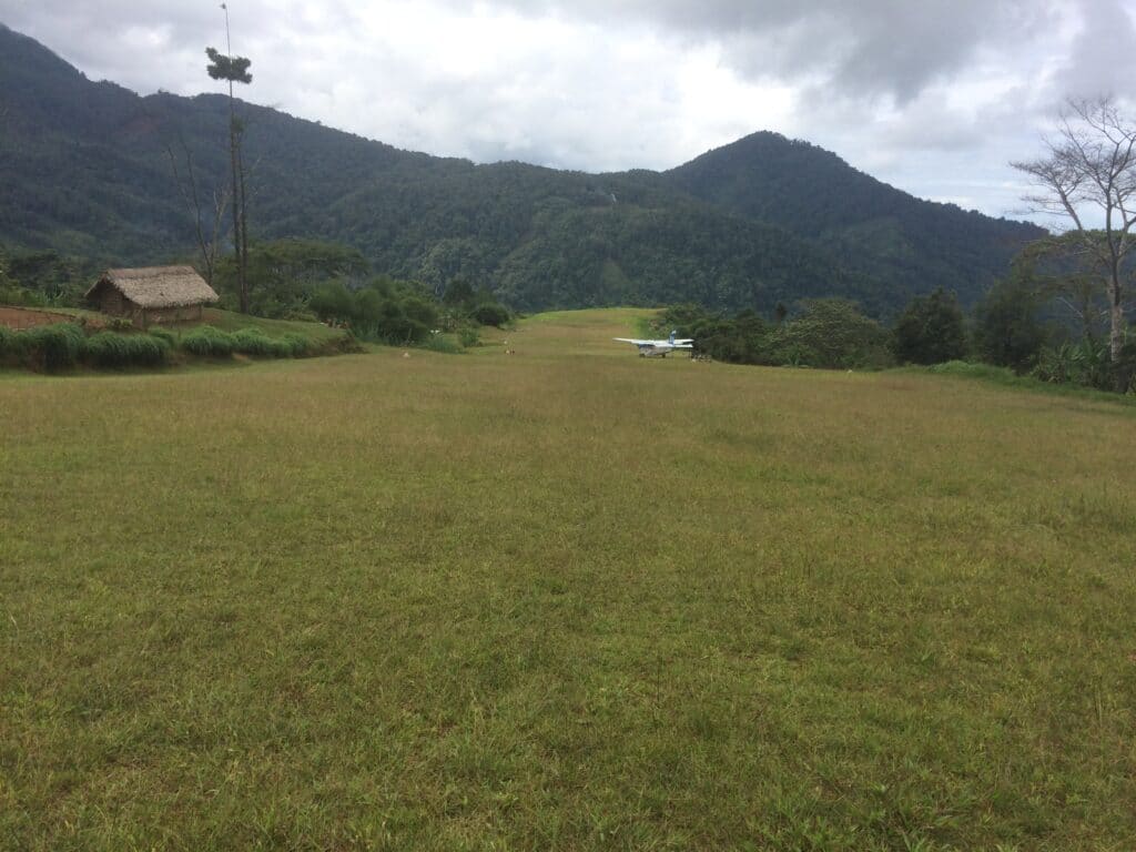
Surface: Grass/gravel
Elevation: 3,700 feet
Length: 480 meters/1,575 feet
Width: 27 meters/86 feet
Slope: 11% overall
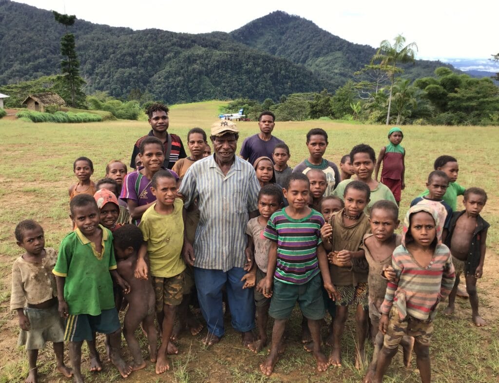
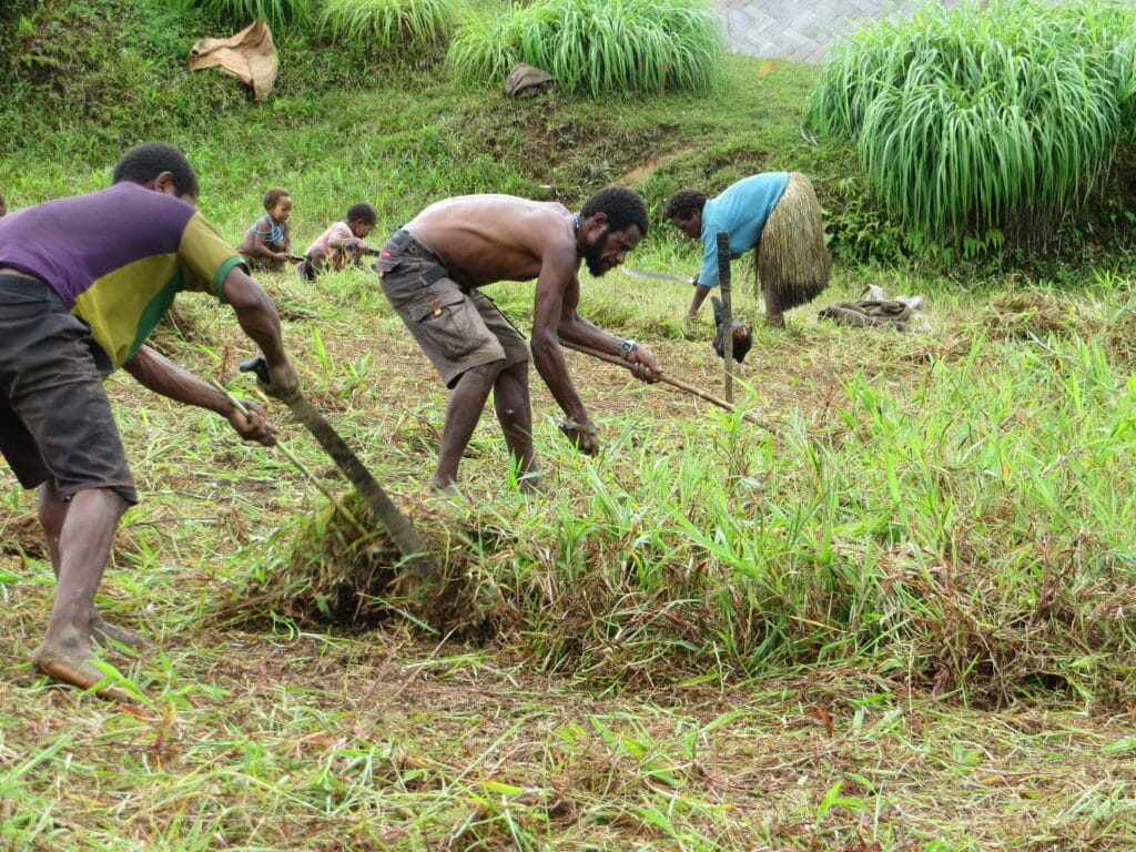
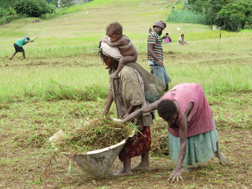
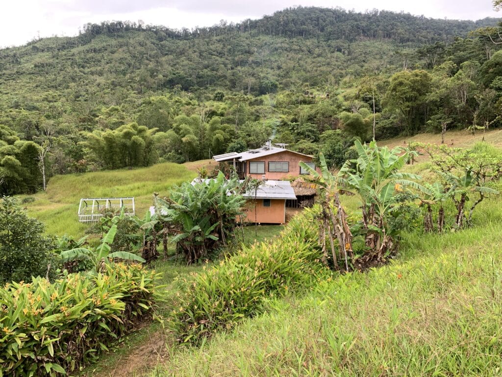
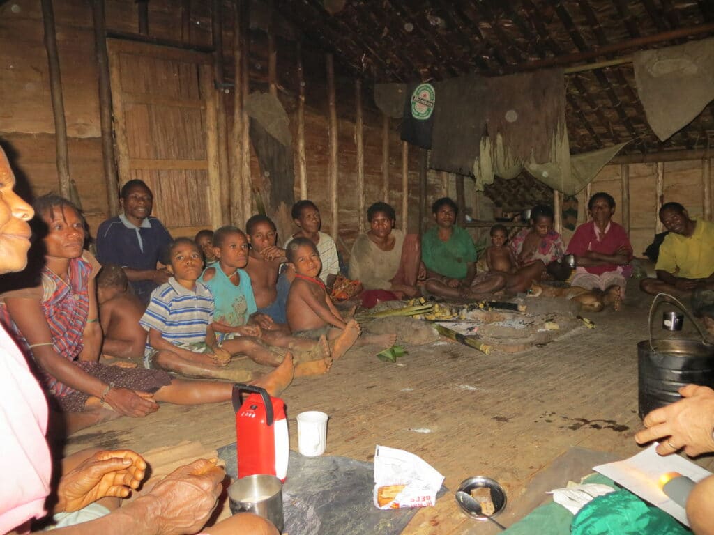
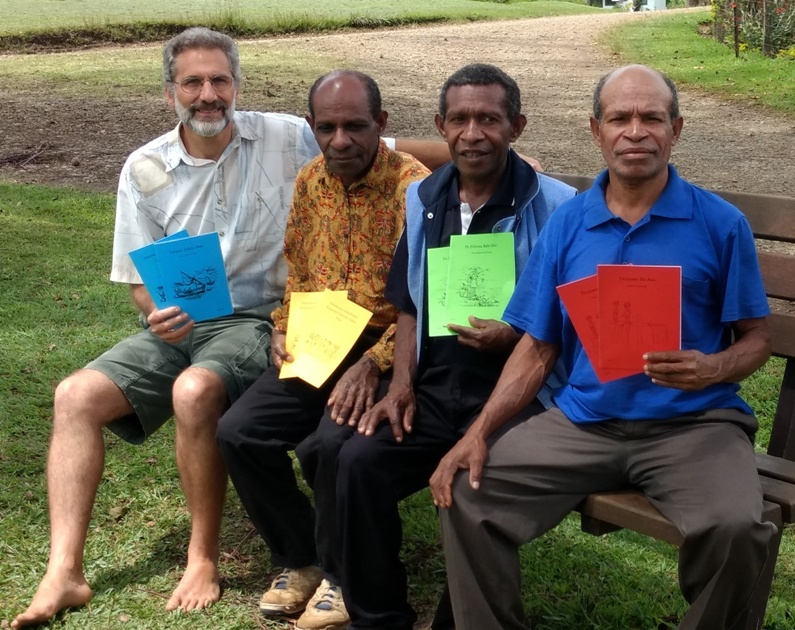
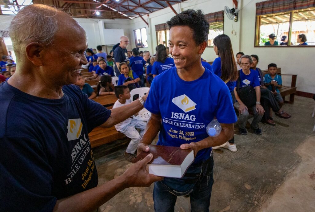
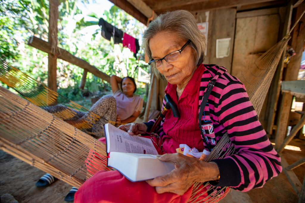
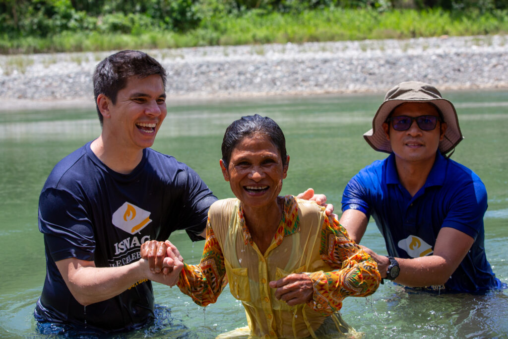
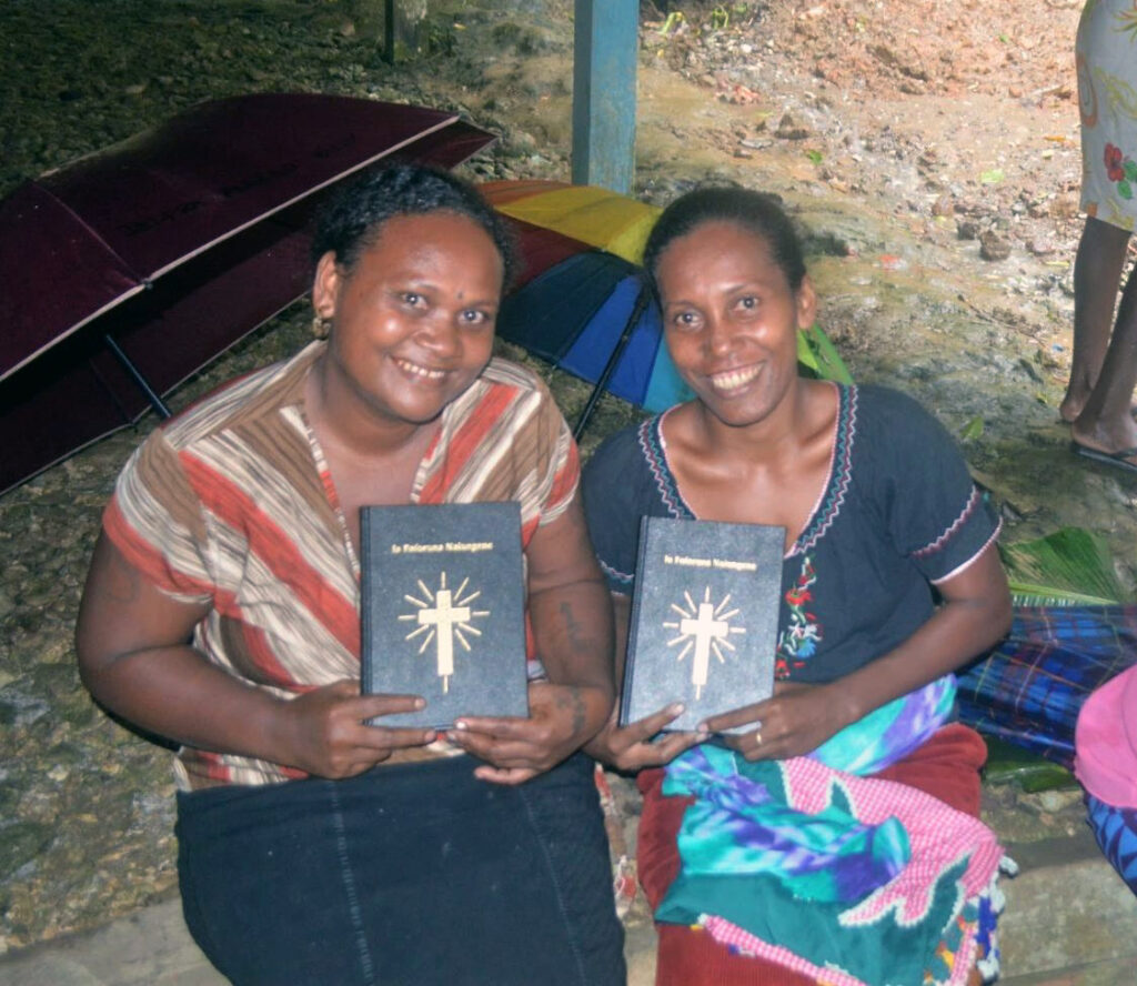
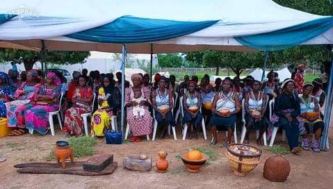
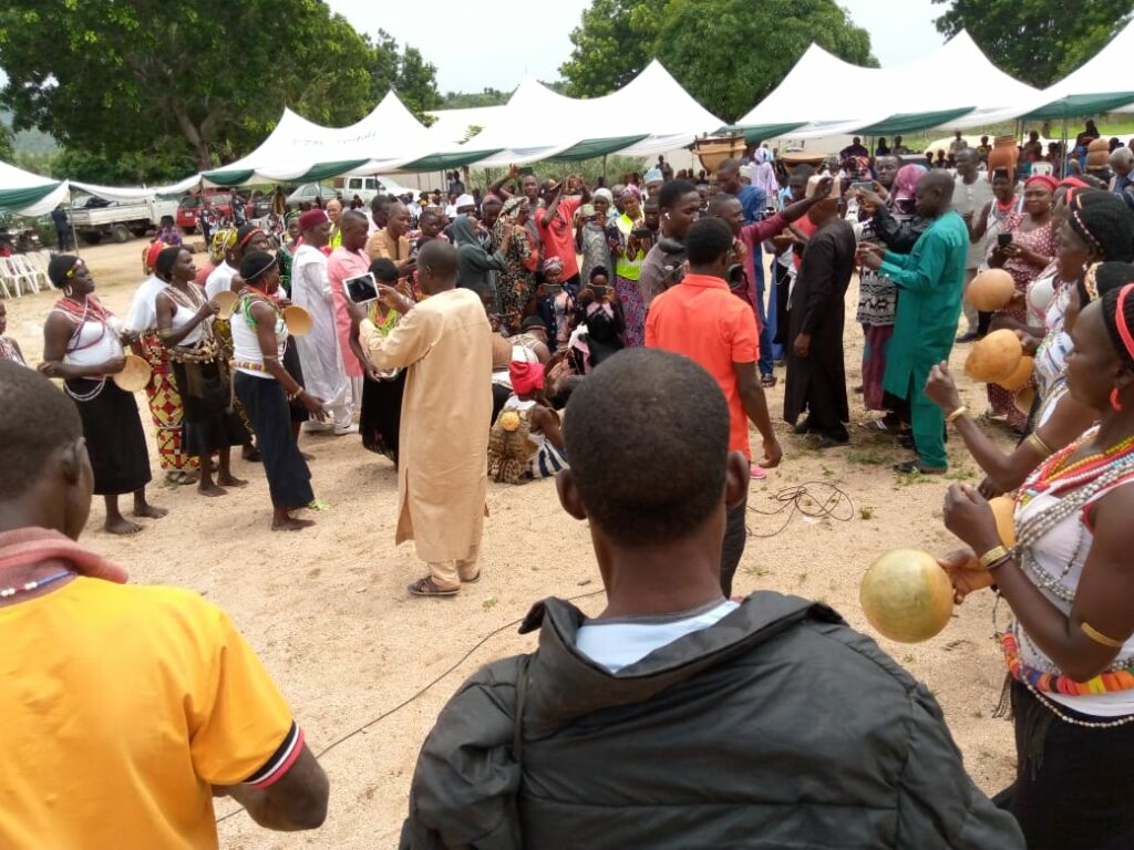
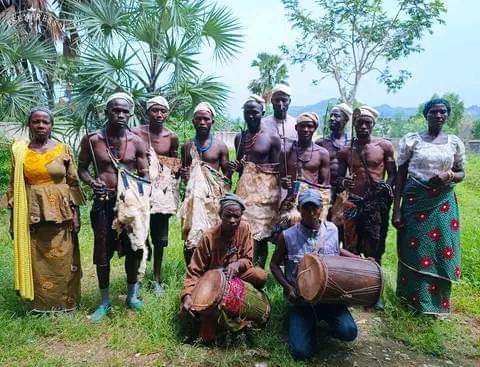
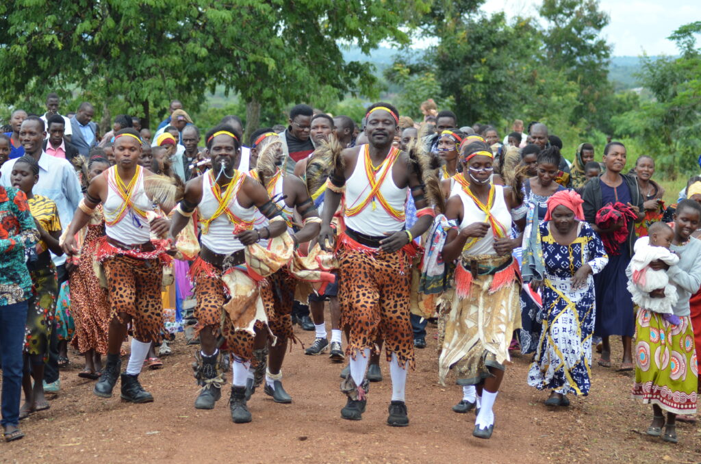
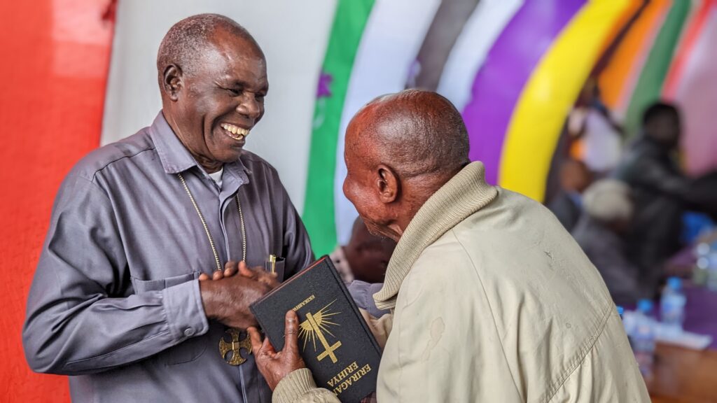
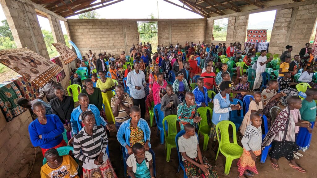
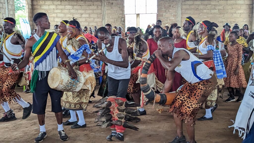
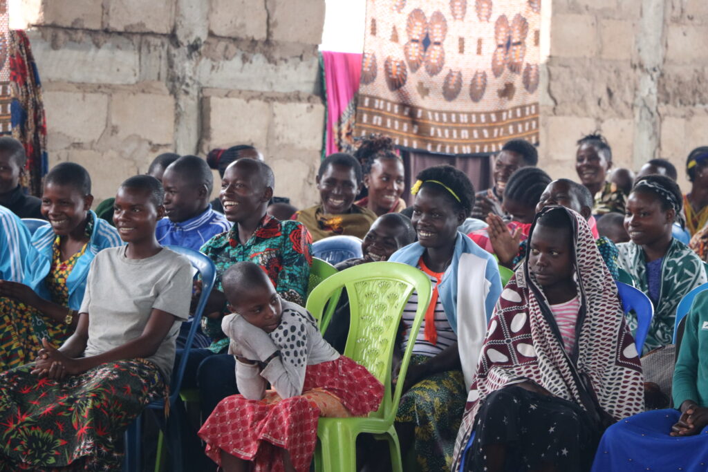
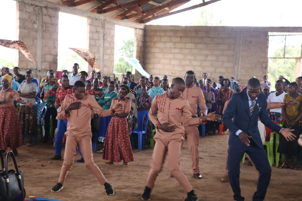
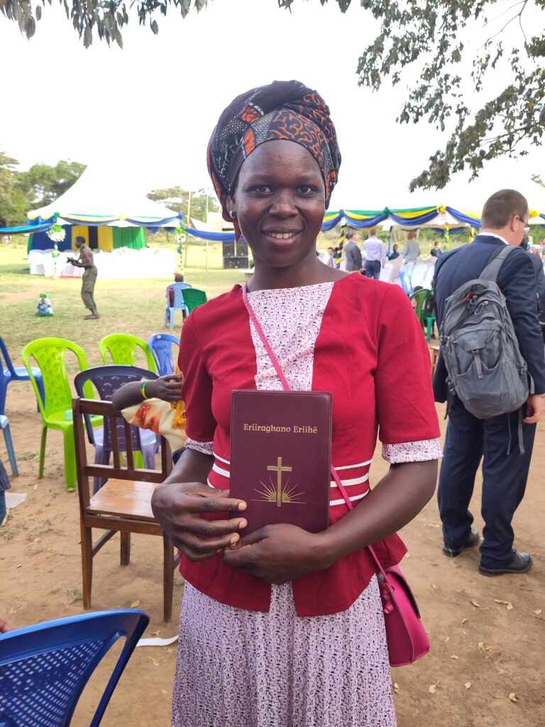
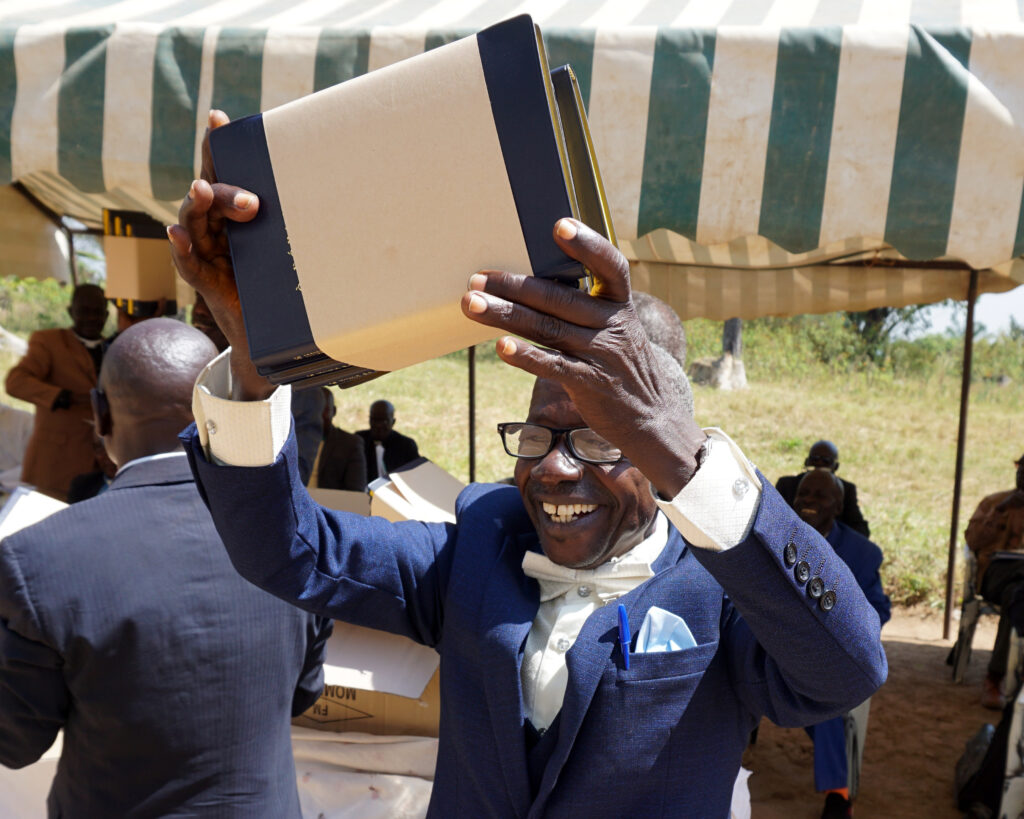
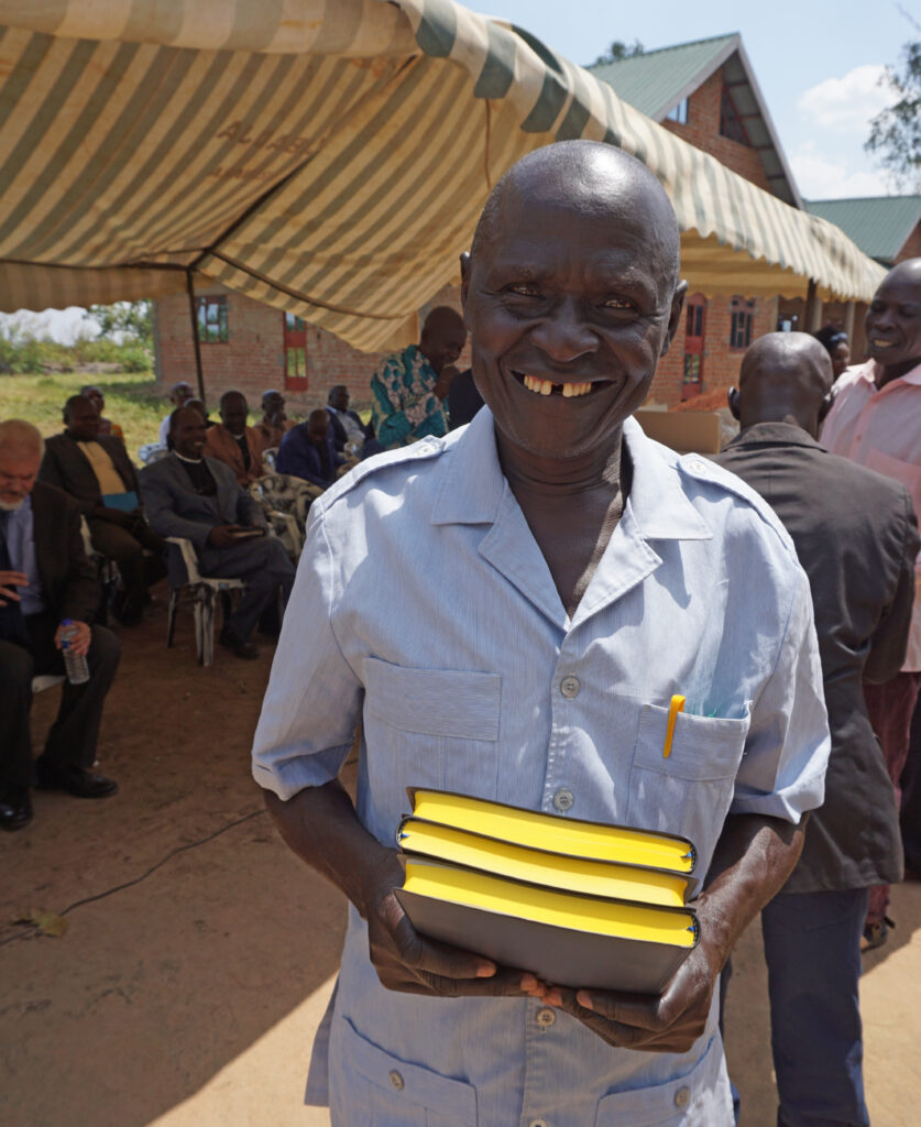
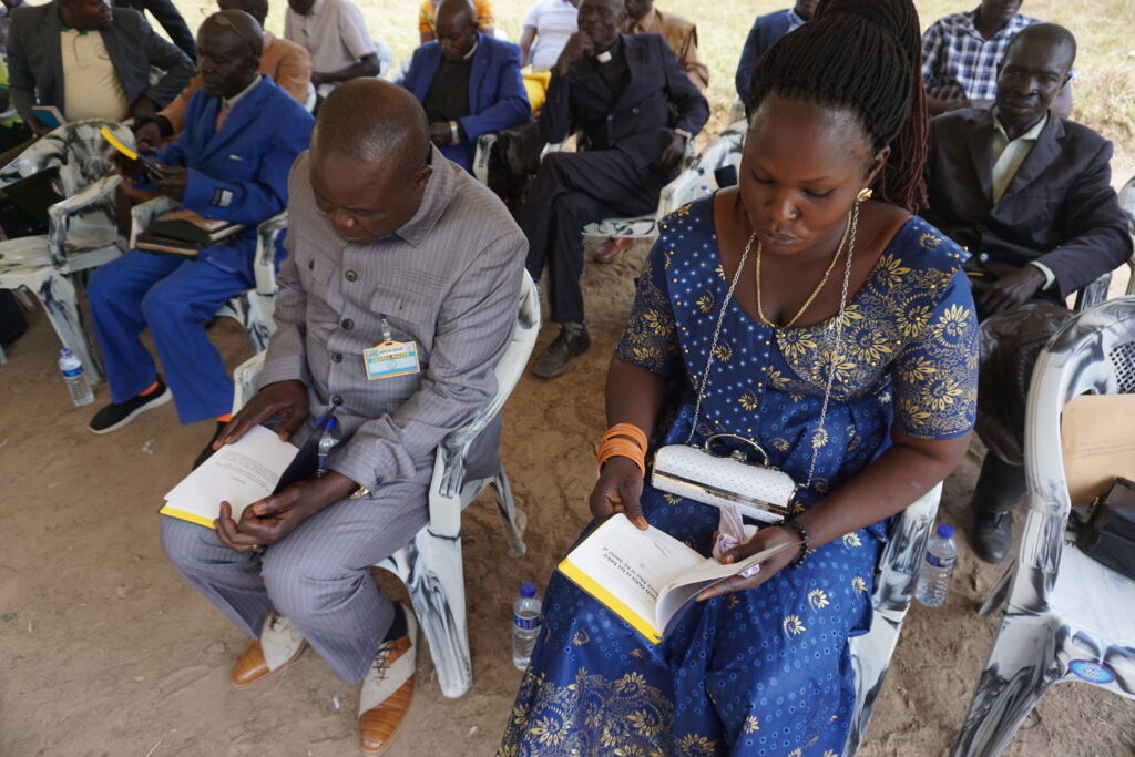
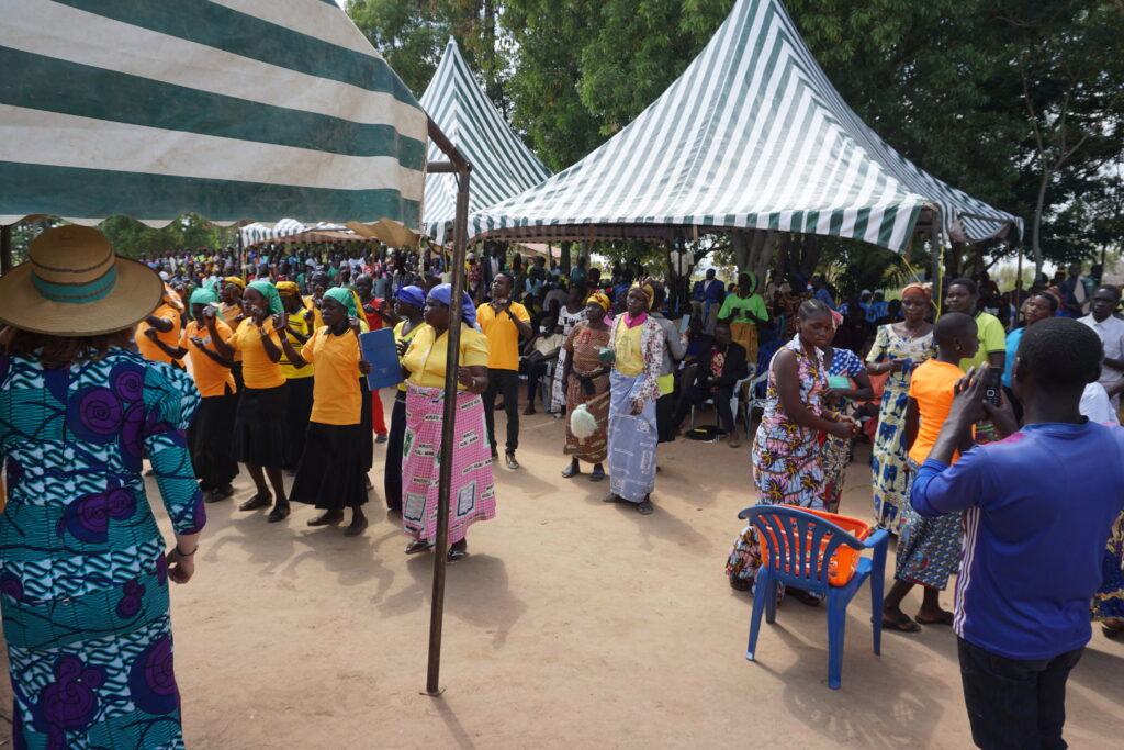
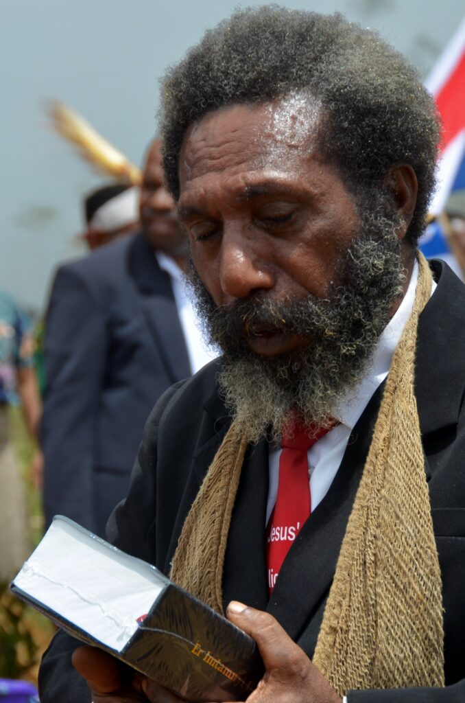
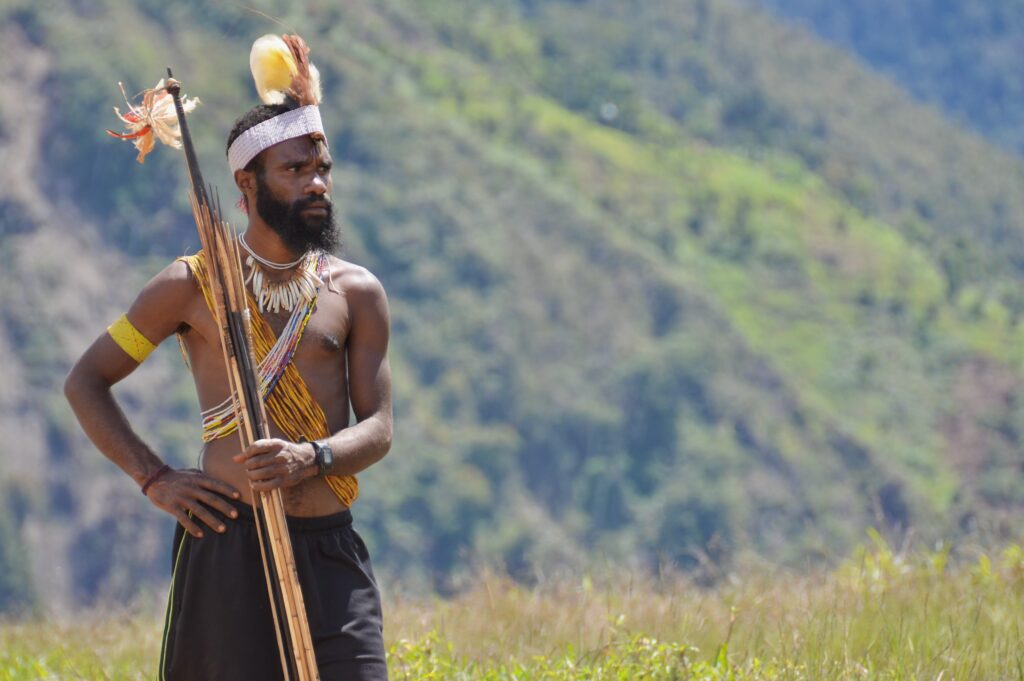
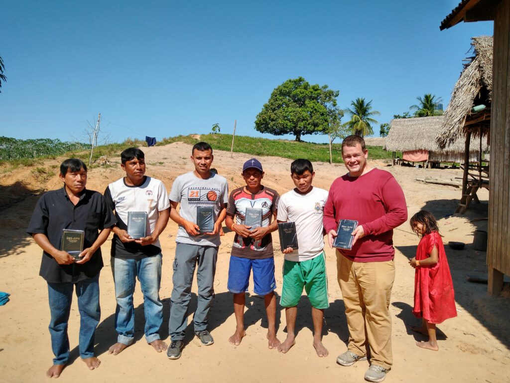
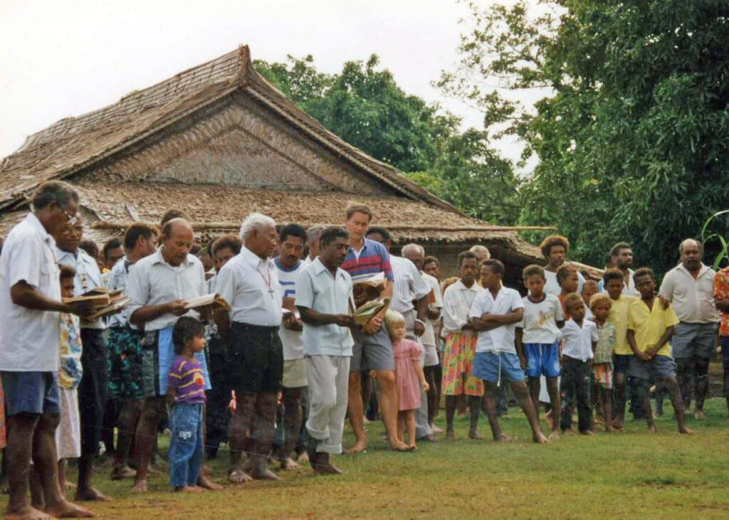
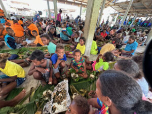
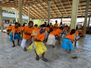
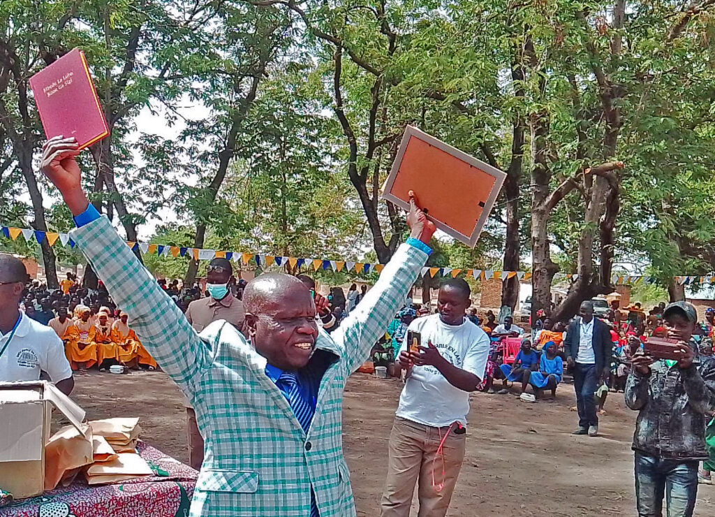
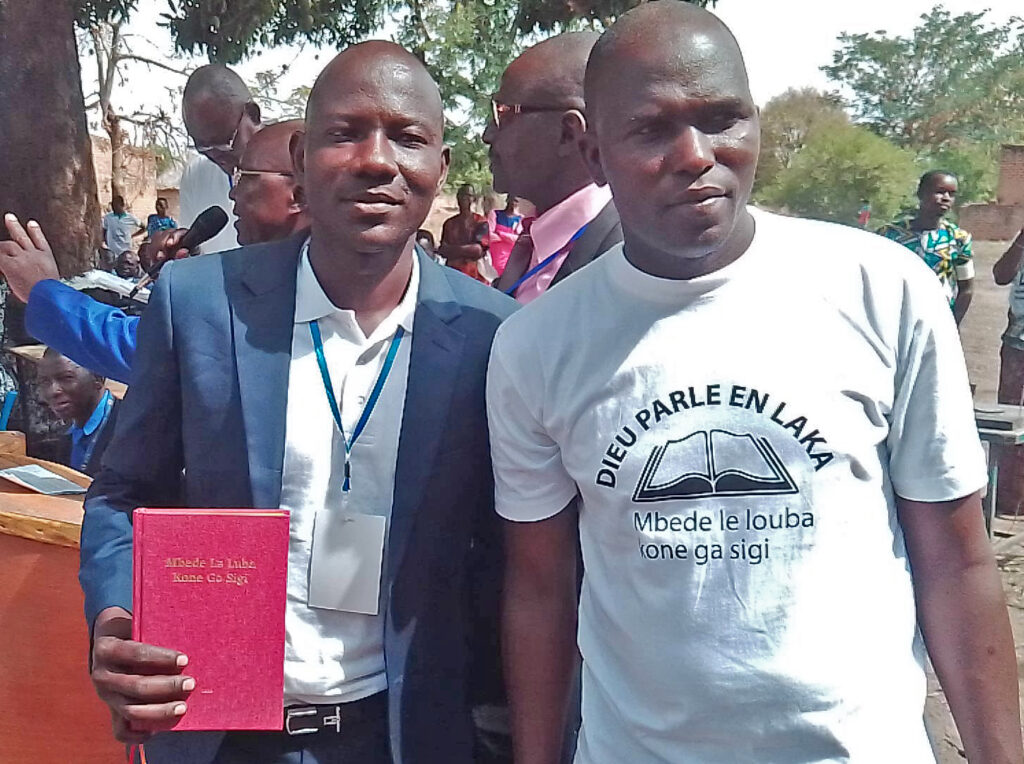
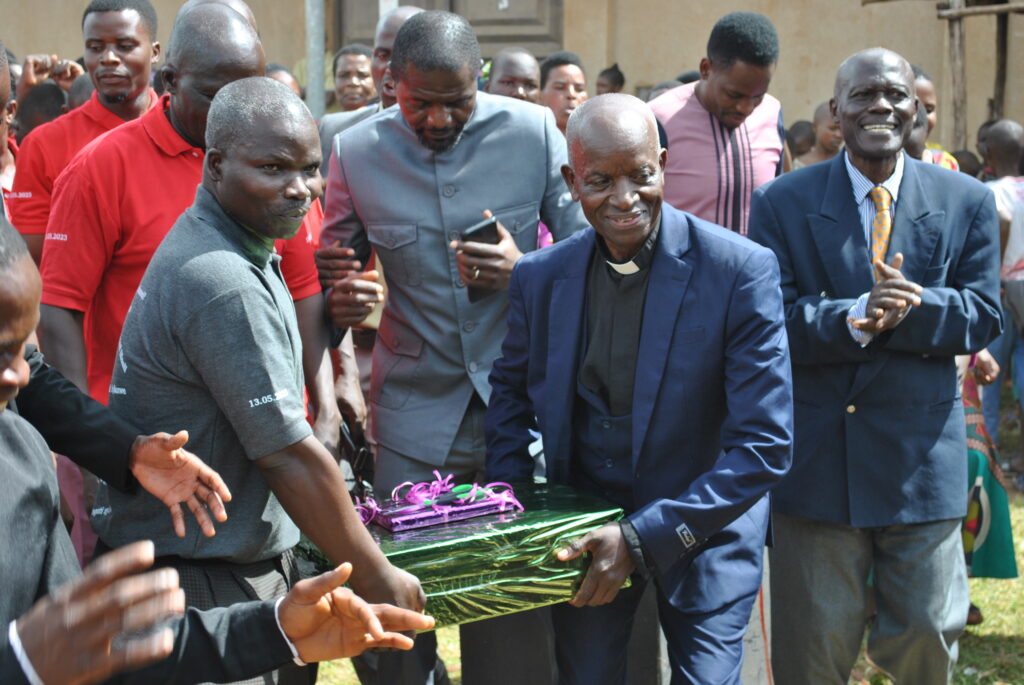
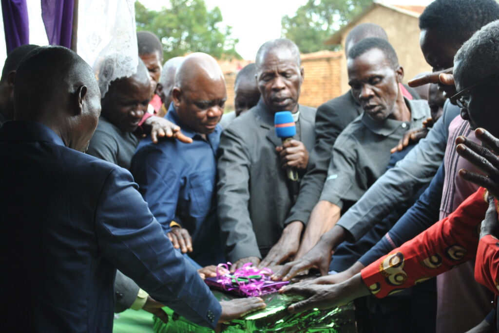
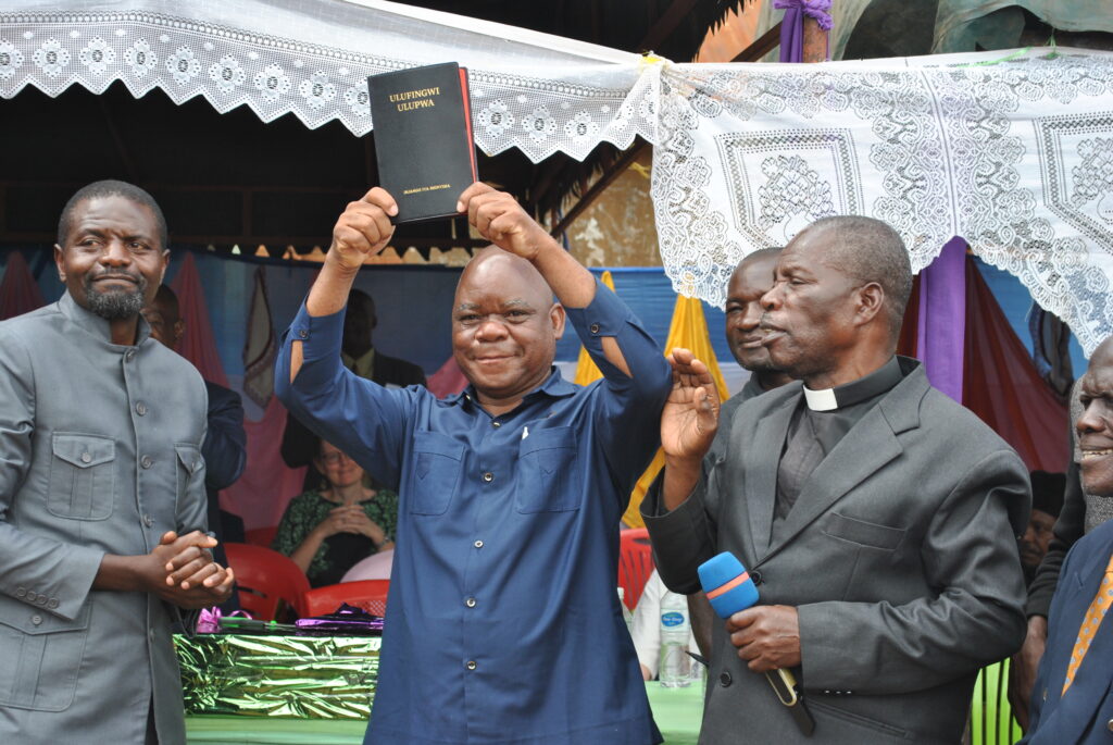
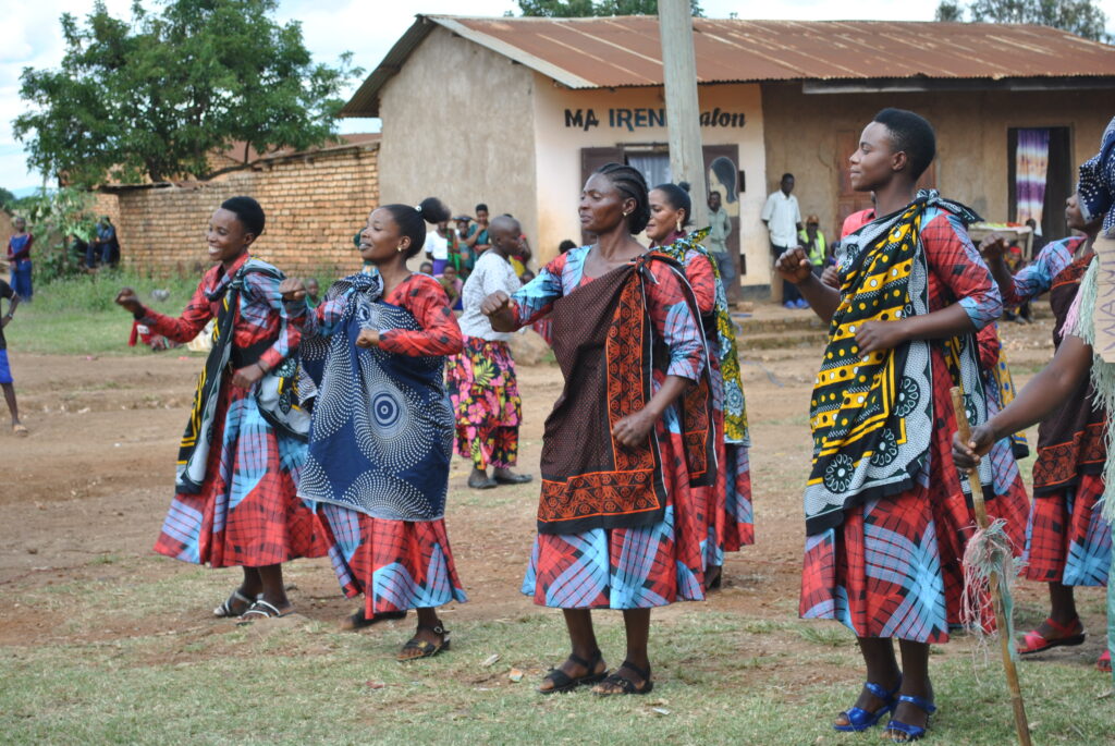
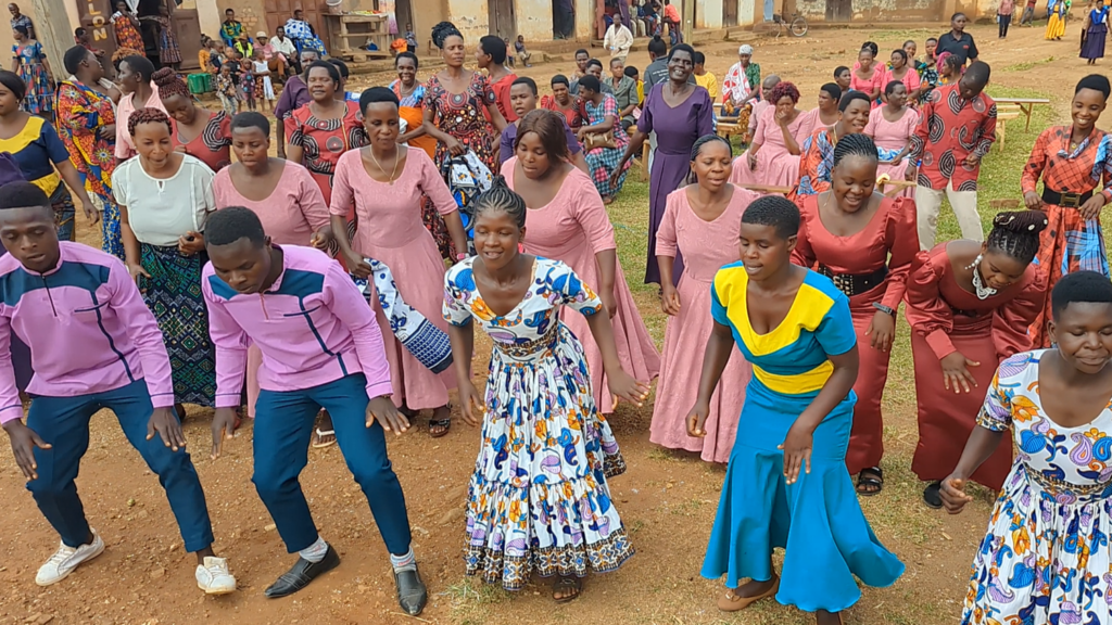
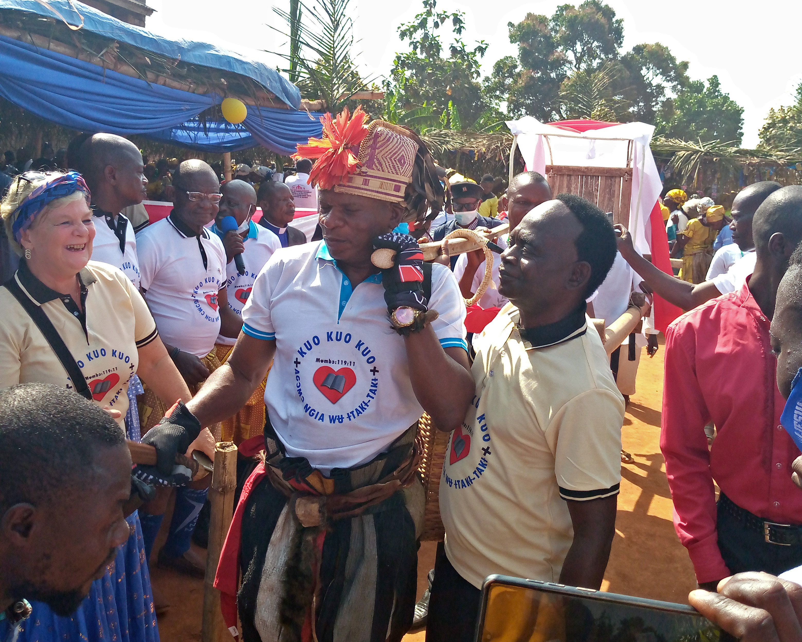
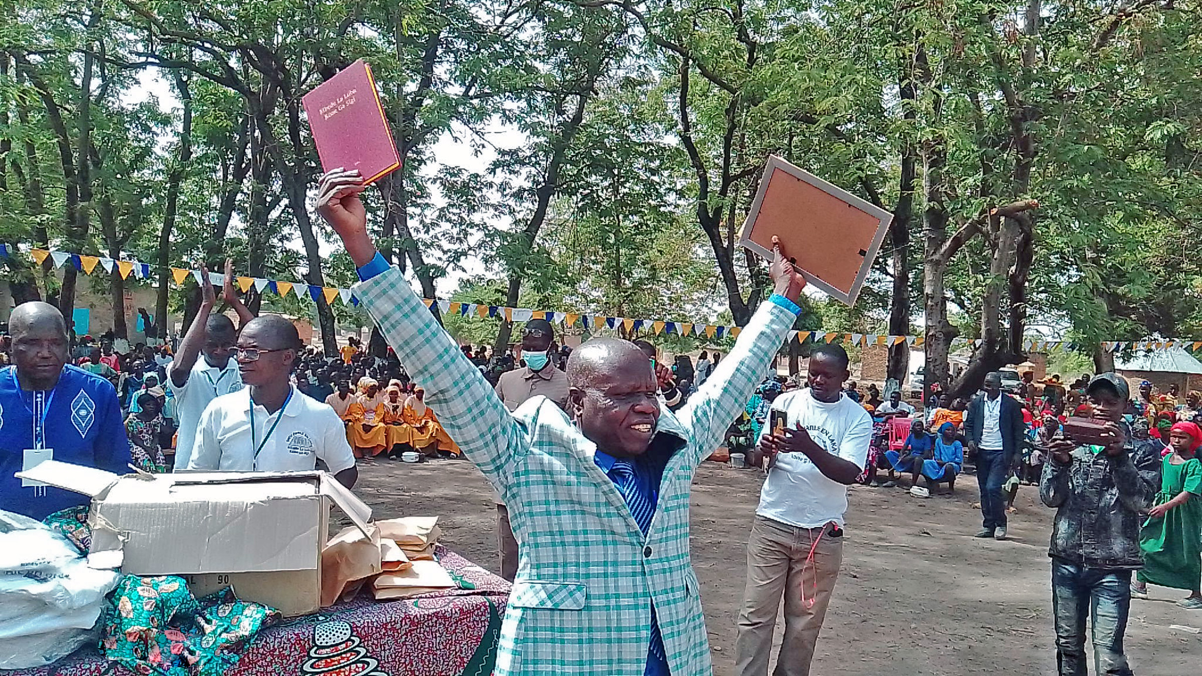
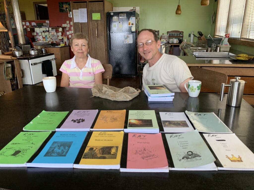
Language group served: Bu’u serves the Angave people of the Gulf Province. The name Angave was assigned by the government; they prefer to call themselves the “true people.” Ray and Cheryl Gibello work here with a partner organization doing Bible translation. When Ray and Cheryl arrived 22 years ago, most women wore grass skirts and the men always carried bows and arrows. The majority couldn’t speak Tok Pisin, the national language. They knew almost nothing about God and Jesus and thought religion meant just going through some rituals of worship. There is still no school or medical worker in this village. Cheryl says, “They feel like the outside world has forgotten them. We tell them, ‘Well, God has remembered you, and sent us to you to preach the good news that Jesus Christ saves people from their sin. Now is your time of salvation.’” There are now two national-run churches and a small group of believers. The New Testament is nearing completion; the Gibellos hope to publish it in about four years. Ray and Cheryl are also engaged in literacy and medical work.
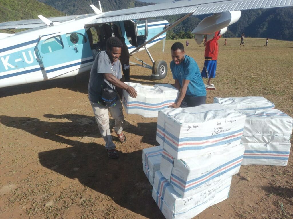
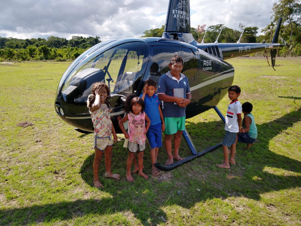
Time saved: For Ray and Cheryl, it’s not a question of saving time. The only reasonable way to get to Bu’u is by air. If it were not for the SIL planes and pilots who fly them to Bu’u, they would have to walk there from their home base in Aiyura: a flight time of 30 minutes instead of a three-day walk! Without air service, getting supplies in would be impossibly expensive. They would have to pay local workers to carry everything and would be severely handicapped by the amount they could bring in. They are completely dependent upon air service to get to the place of their ministry and to fly out when they need to stock up on food supplies, attend workshops, or do translation checking. Cheryl says, “We are extremely thankful for the SIL PNG pilots who serve our travel and transportation needs.”
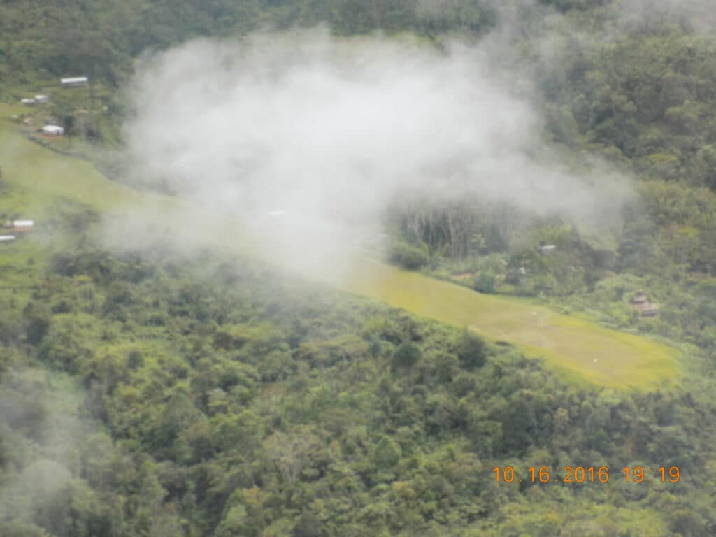
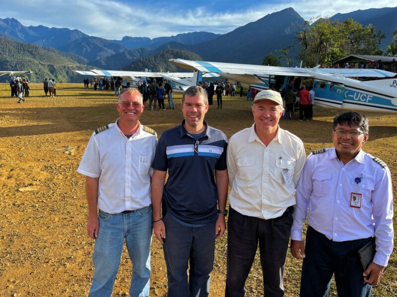
Interesting facts: Pilot Josh Eicholtz says: “Mention Bu’u to any of the PNG pilots and we’ll all probably tense up a bit. Bu’u has challenging weather patterns, which means we’ve all had to turn around at Bu’u more than once! It can be open for only a short window in the morning before the clouds and rain close in on the strip. Even when I land and it is clear, I never quite feel ‘comfortable’ on the ground. I’m always keeping an eye out down valley! Ray often invites me in for coffee—a tempting offer that I sometimes decline because I can’t delay my day or I don’t want to get stuck!”
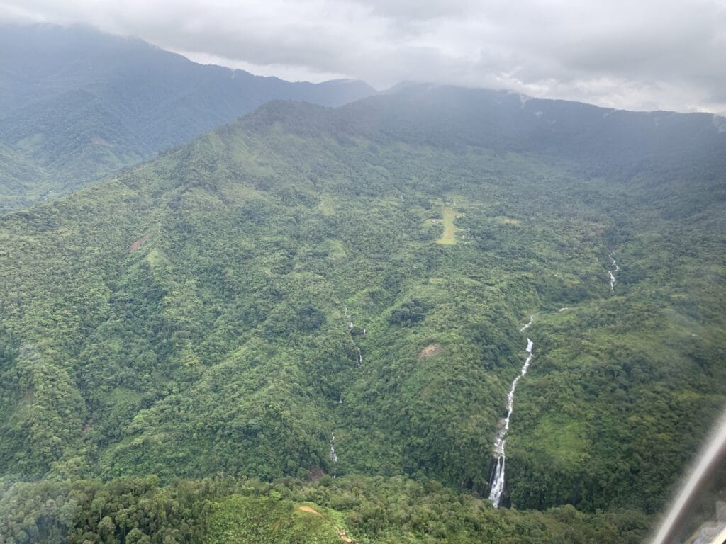
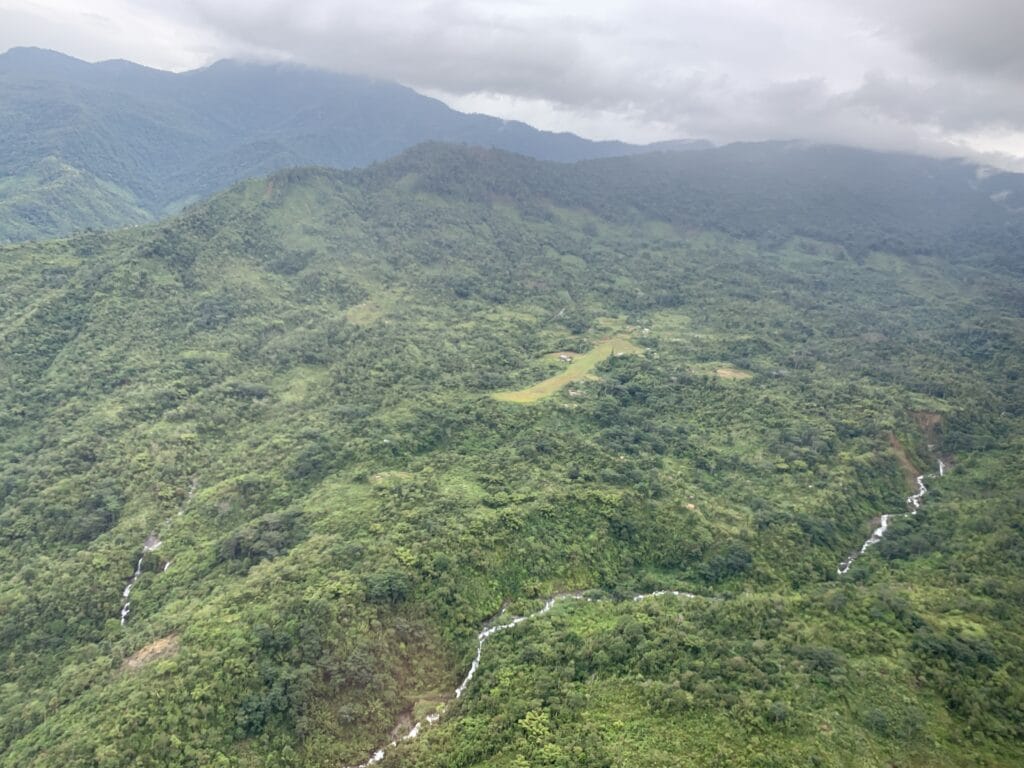
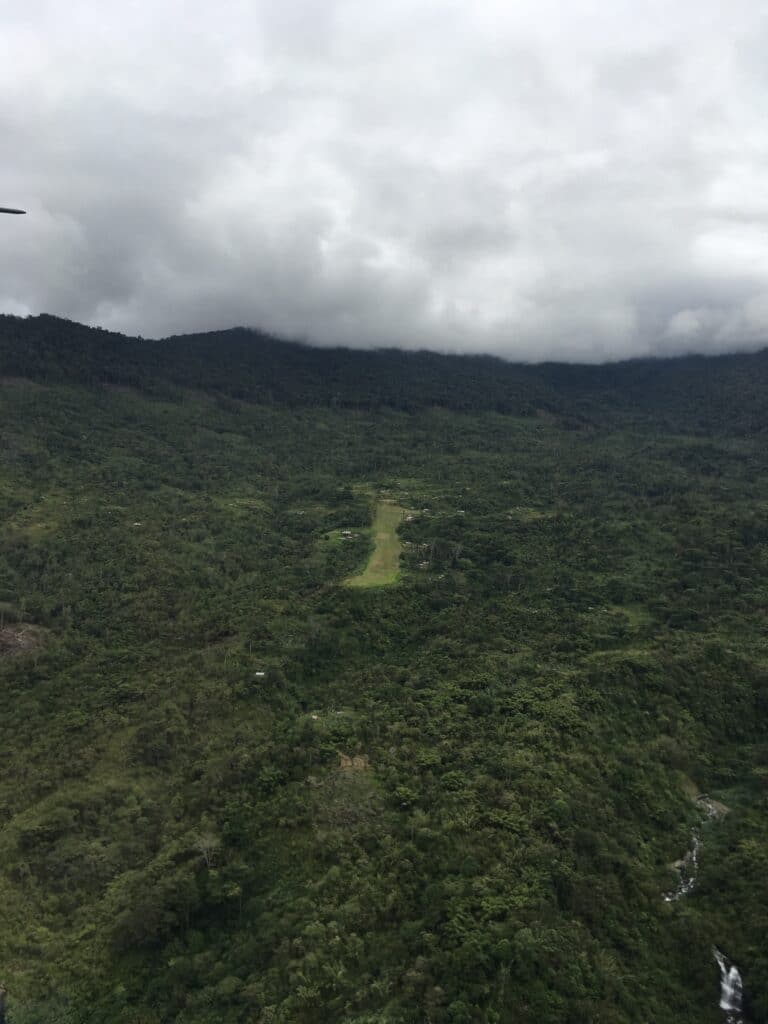
The airstrip is situated in a tight canyon which requires a slightly modified approach from base to final. The go around is a tight 270 degree turn to the right at the waterfall. When landing, the pilot is looking at very tall mountains behind the airstrip that create a strong visual illusion: the airstrip can look flat even though it is quite steep. The touchdown zone, with a 3% slope, is flatter than the rest of the airstrip which increases to 8%, then reaches 15–16% at the top. Since the go around path is toward rising terrain initially, the pilot must execute the committal point properly and quickly turn out. Bad weather can further complicate things because the pilot may not be able to get a full evaluation of the airstrip overhead and will have to depend on HF radio communication with the translator on the ground.