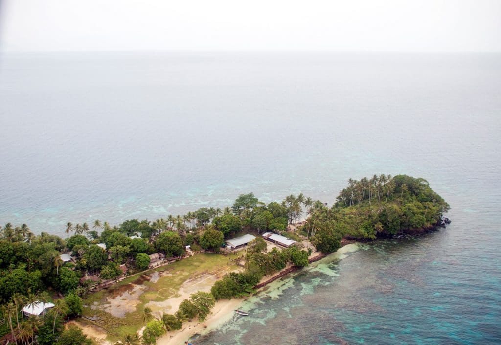
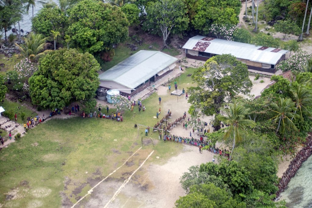
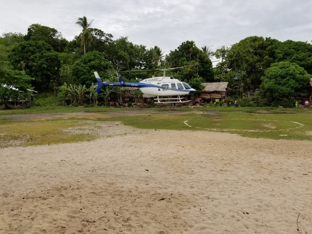
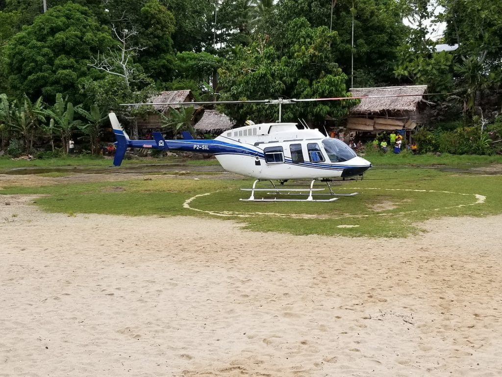
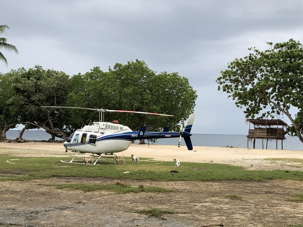
Touchdown Zone: Nubogeta Helipad
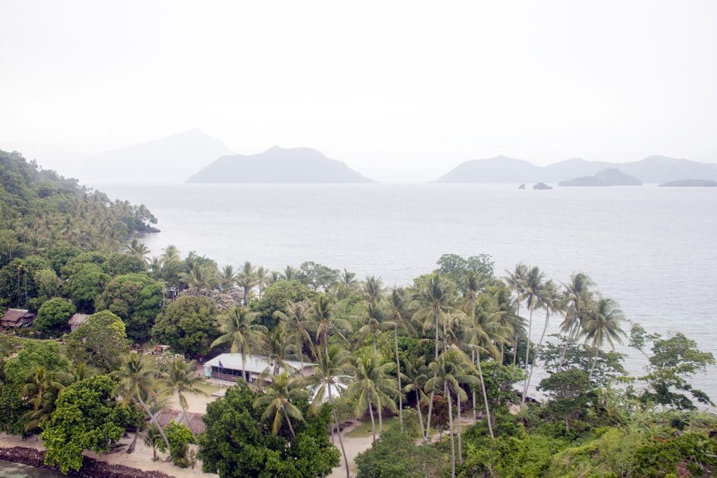
Region: Milne Bay, Papua New Guinea
Surface: Sand, mud and grass
Elevation: 5 feet
Location: Soccer field at the local school
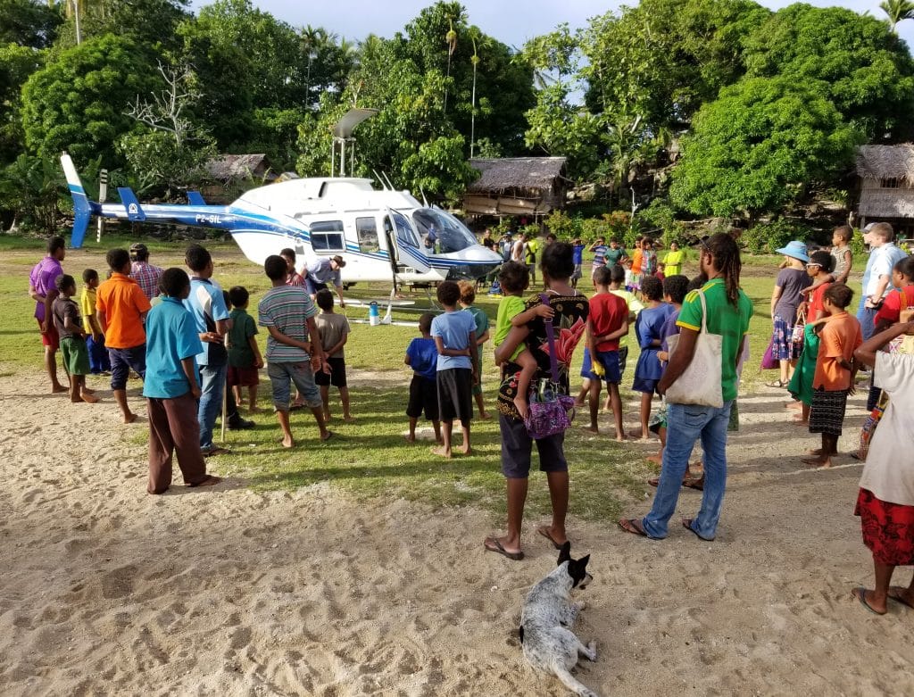
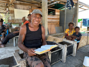
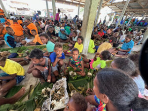
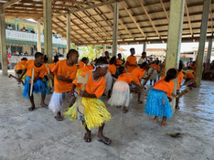
Language Group Served: Gumawana
Time Saved: A trip to Nubogeta from our aviation center in Ukarumpa starts with a two-hour flight in a fixed wing airplane to the coast. From there a helicopter flight to reach Nubogeta takes 20 minutes. The other option, a boat trip, takes 15 or more hours. A helicopter flight is also safer; a boat has to contend with dangerous rough weather and reefs.
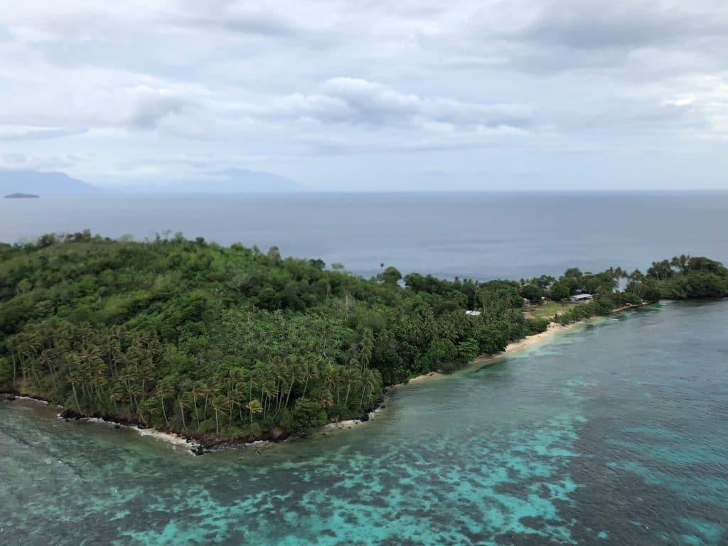
Interesting Fact: Nubogeta Island is very small, about 1/3 square mile in area, its highest point being about 300 feet. Yet it has a church, a school, and a soccer field! Use this link on google maps for an aerial view. If you zoom out from this point you can slowly see how very tiny the island is and why it is difficult to reach it by water.
Watch a takeoff from Nubogeta here. View the helipad chart here.