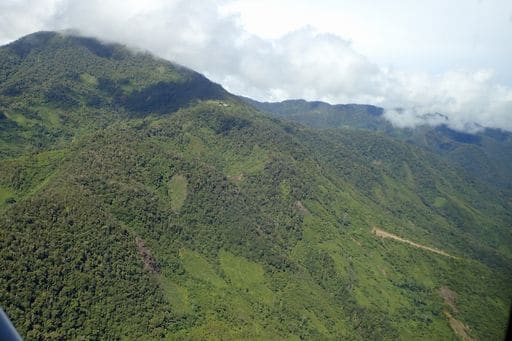
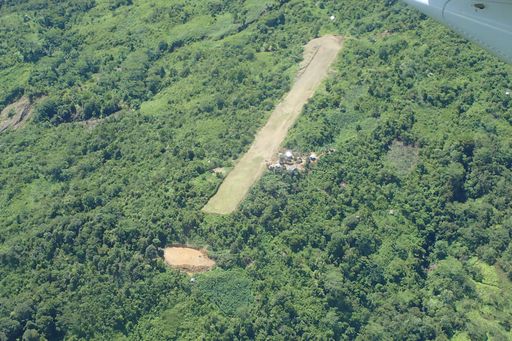
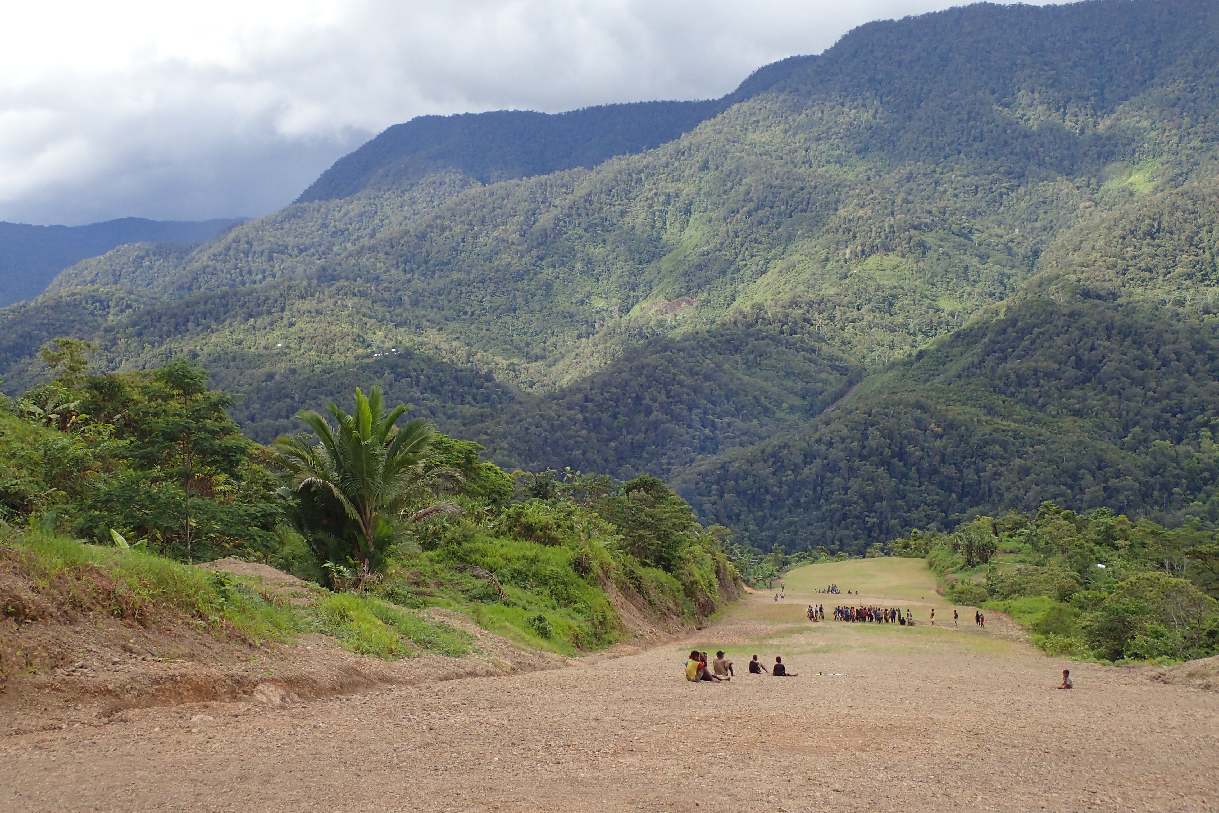
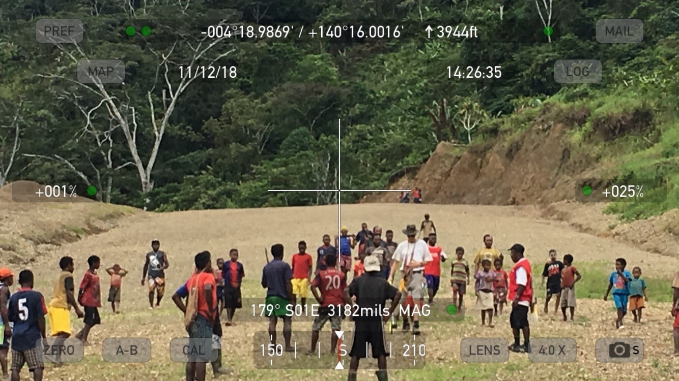
Touch Down Zone: Lundo
Region: Indonesia
Surface: Dirt and gravel
Elevation: 3,550 feet
Length: 409 meters/1,342 feet
Width: 16 meters/52 feet
Slope: 13% at touchdown increasing to 26% near the parking bay at the top
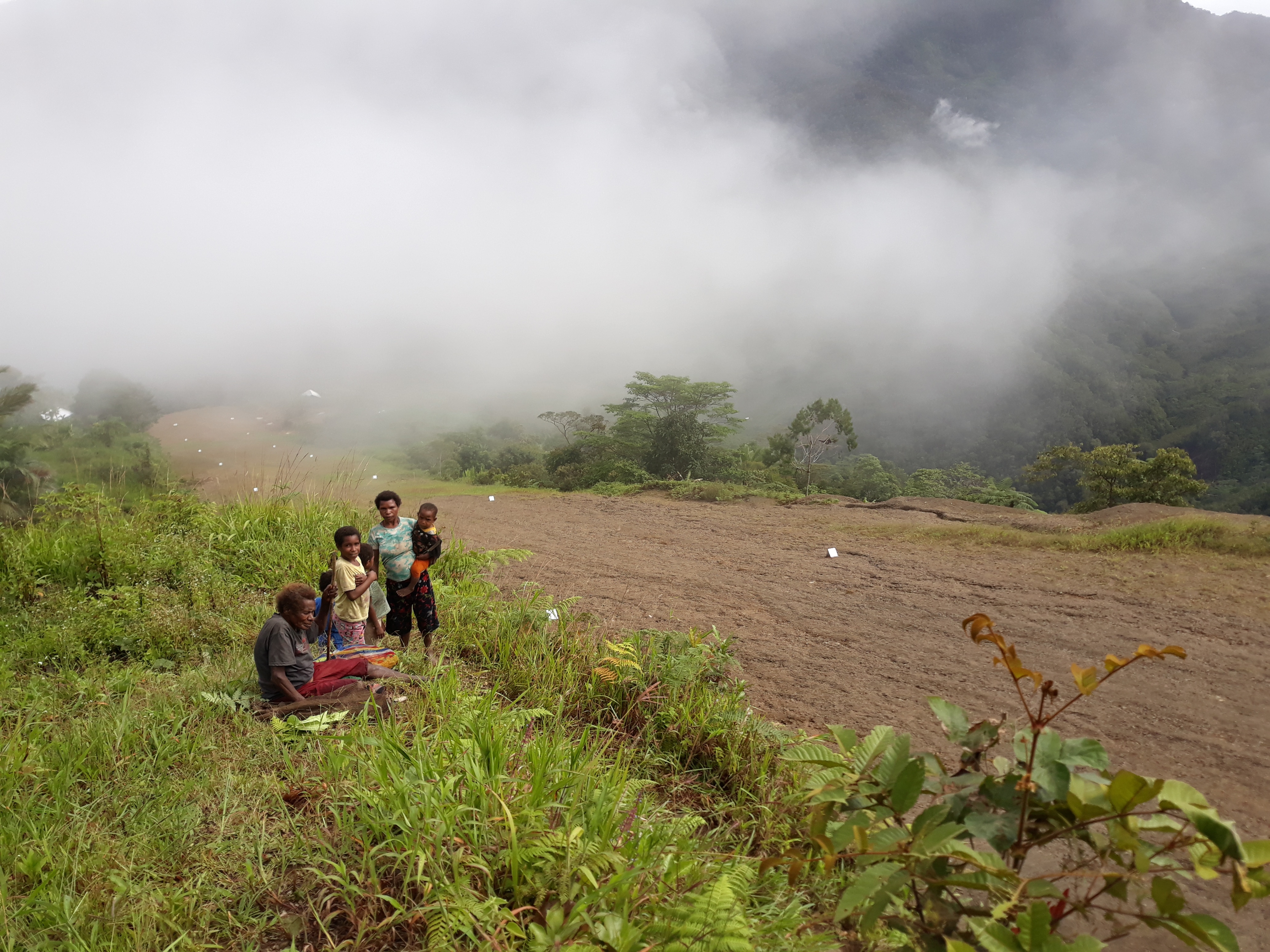
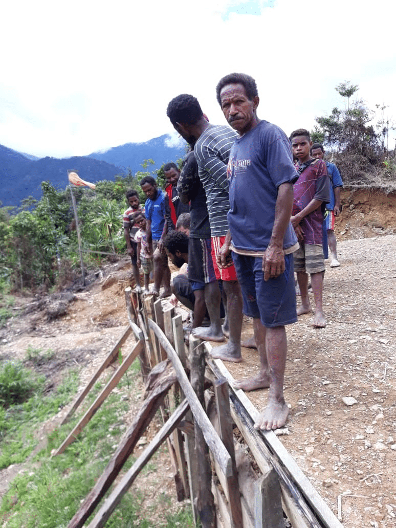
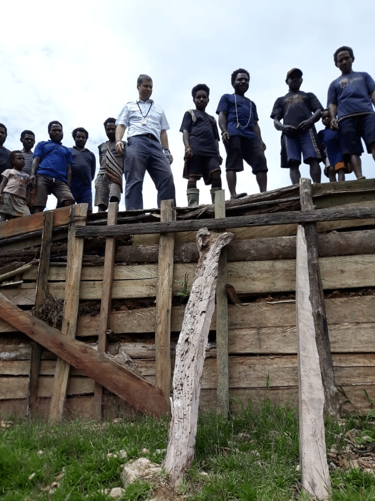
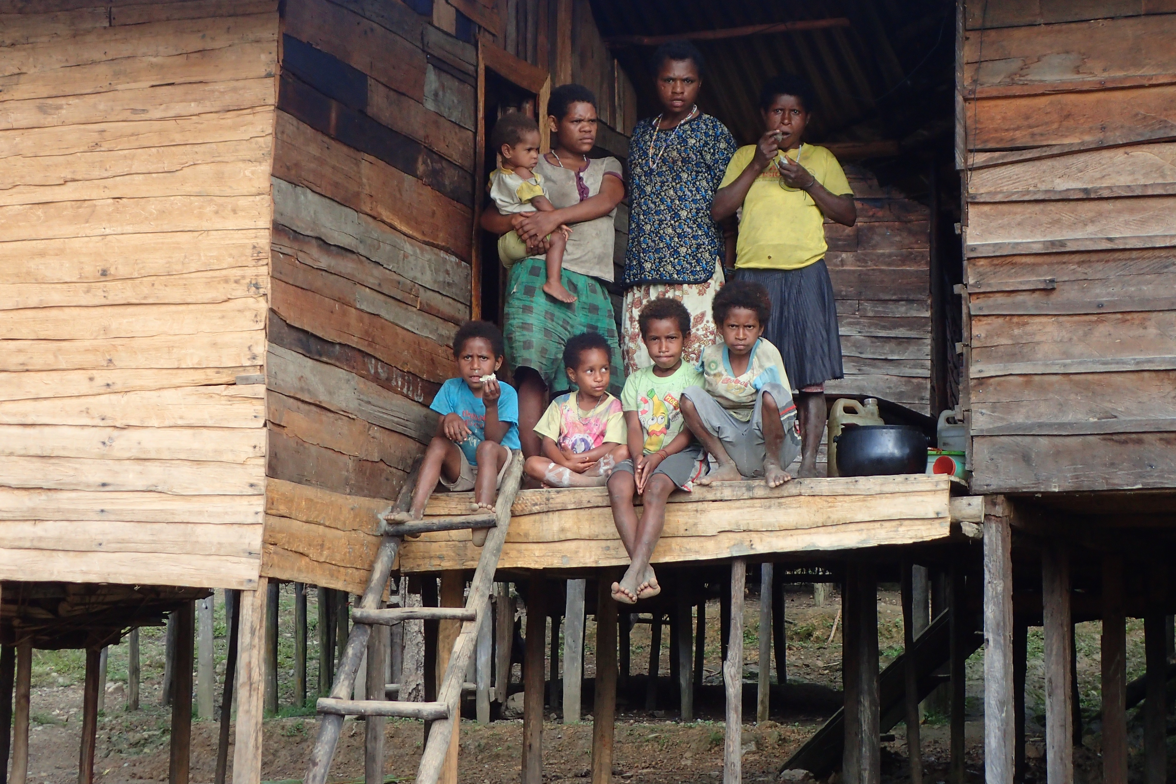
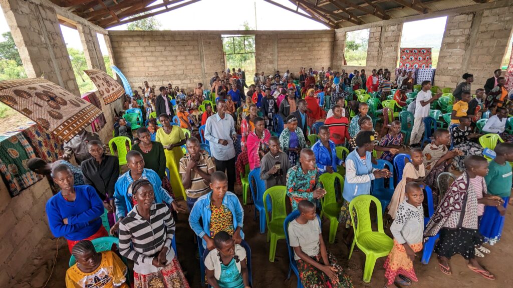
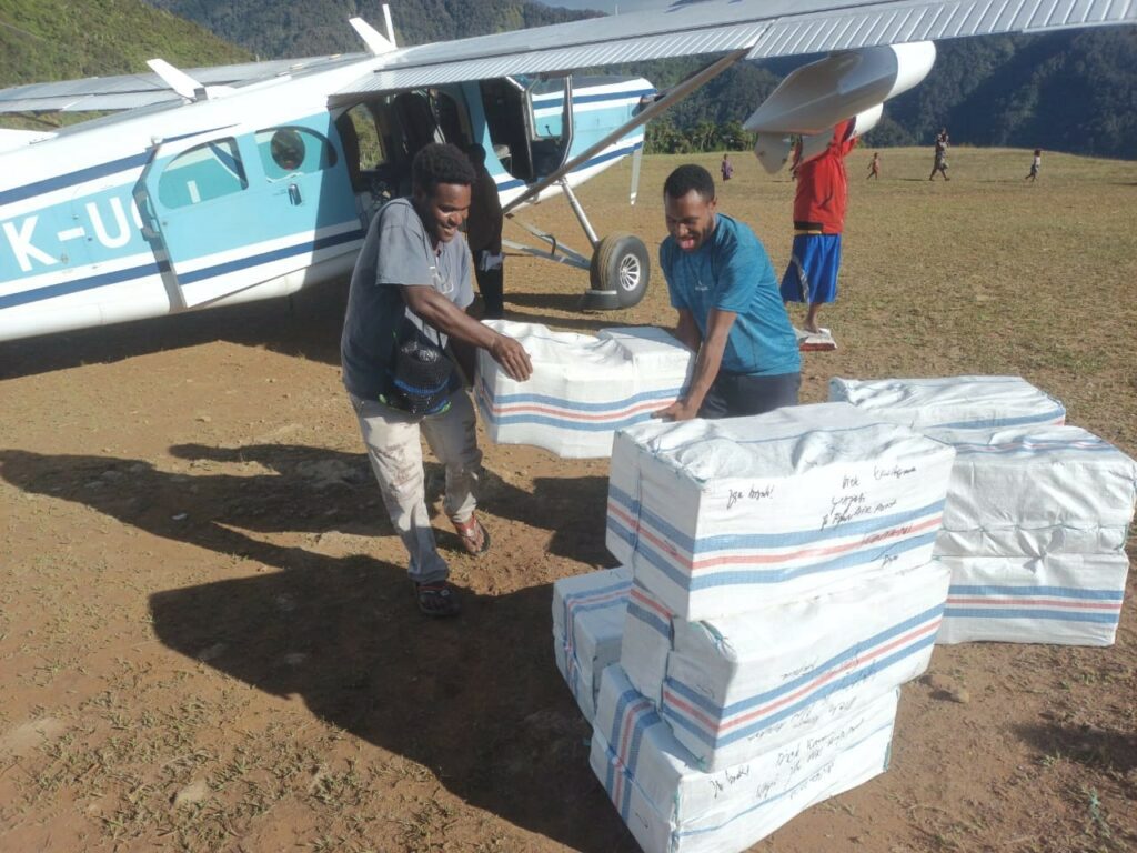
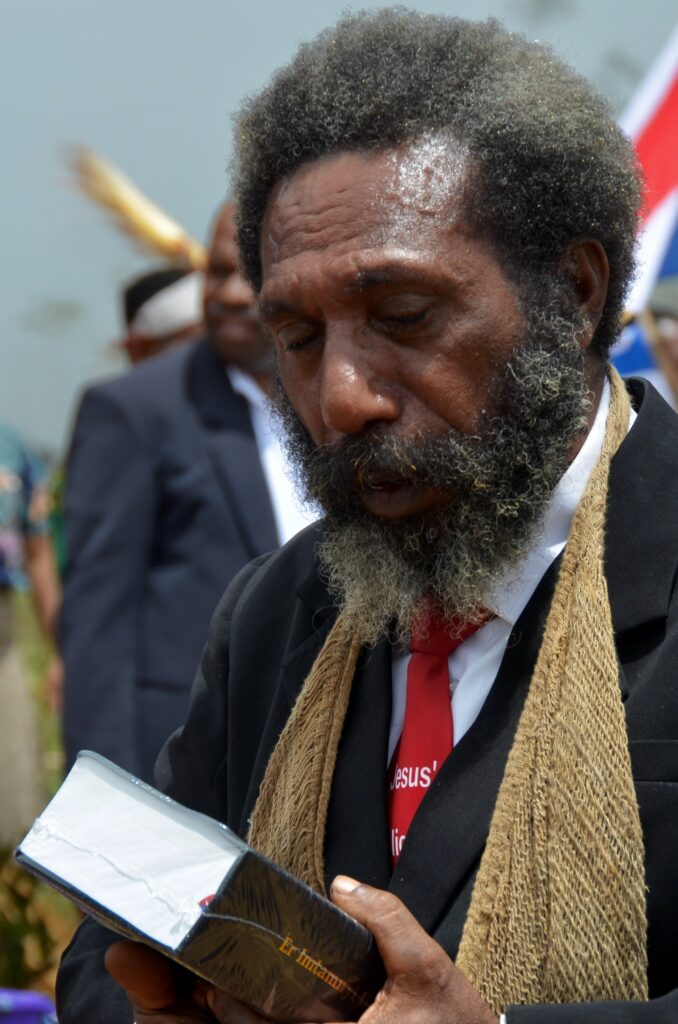
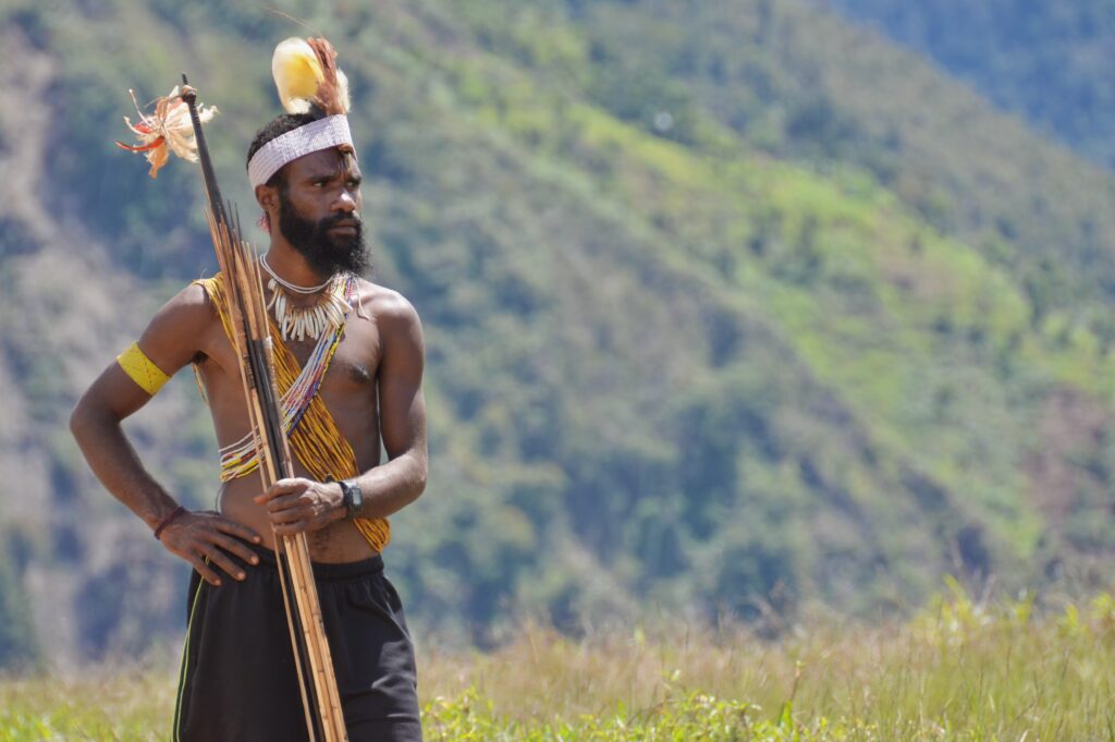
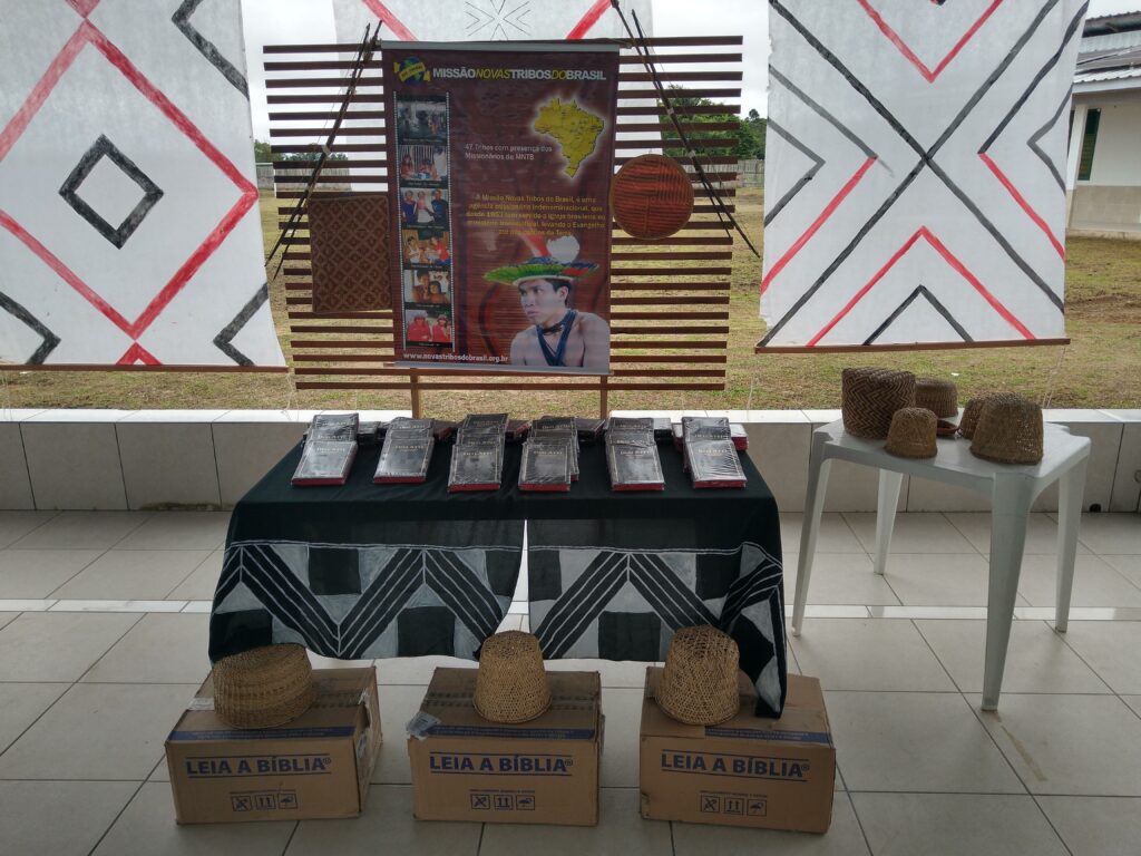
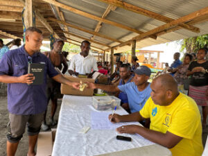
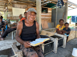
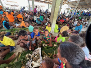
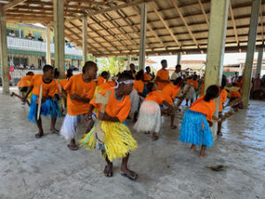
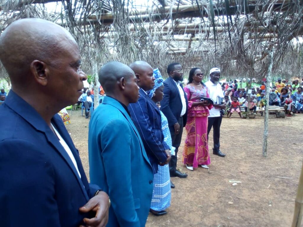
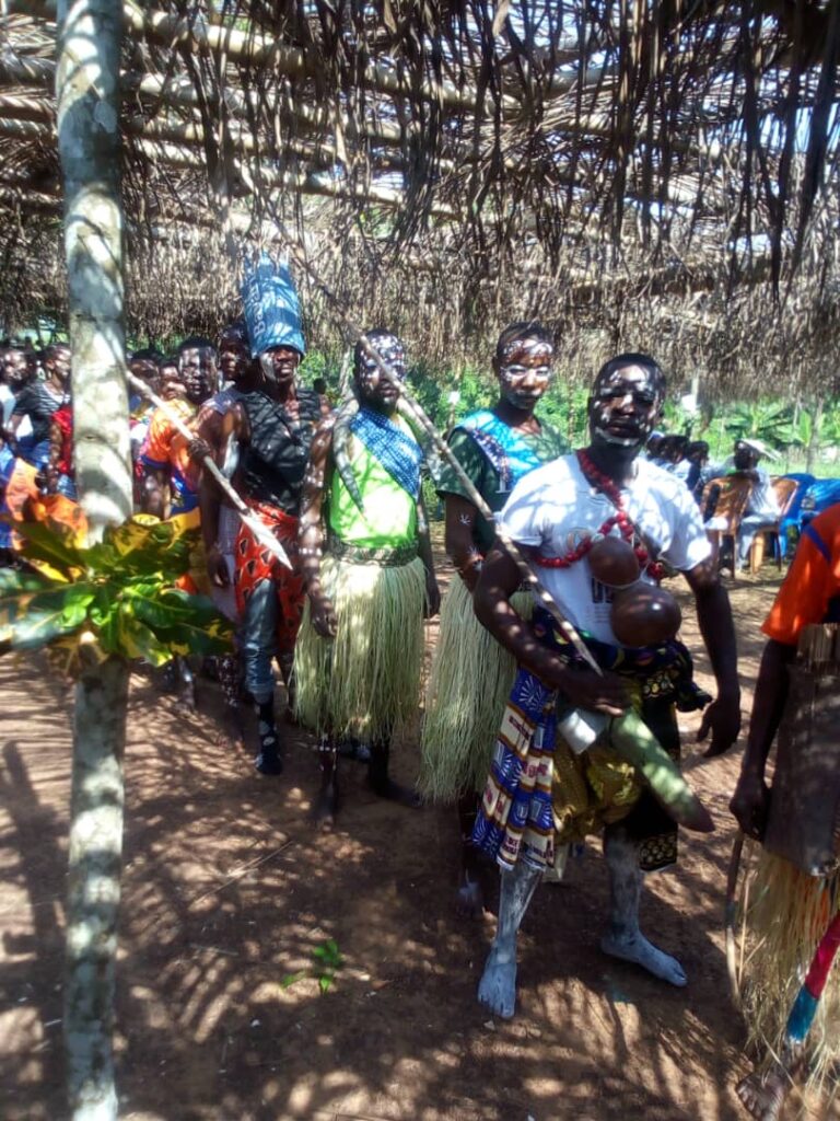
People Served: Ketengban
Interesting Facts: The entire Ketengban area covers more than 300 square miles. It is extremely mountainous, with very rugged terrain, many rivers, and deep gorges. Some of the peaks and passes are from 6,000ʹ to 8,000ʹ and extremely difficult to walk as they are very steep with absolutely no “improved” trails or roads. About 17,000 or so people are scattered around the area in about 90 villages of 200 or more people and hamlets of 50 or fewer people. Because of their isolation, the availability of air service is an important asset for these communities.
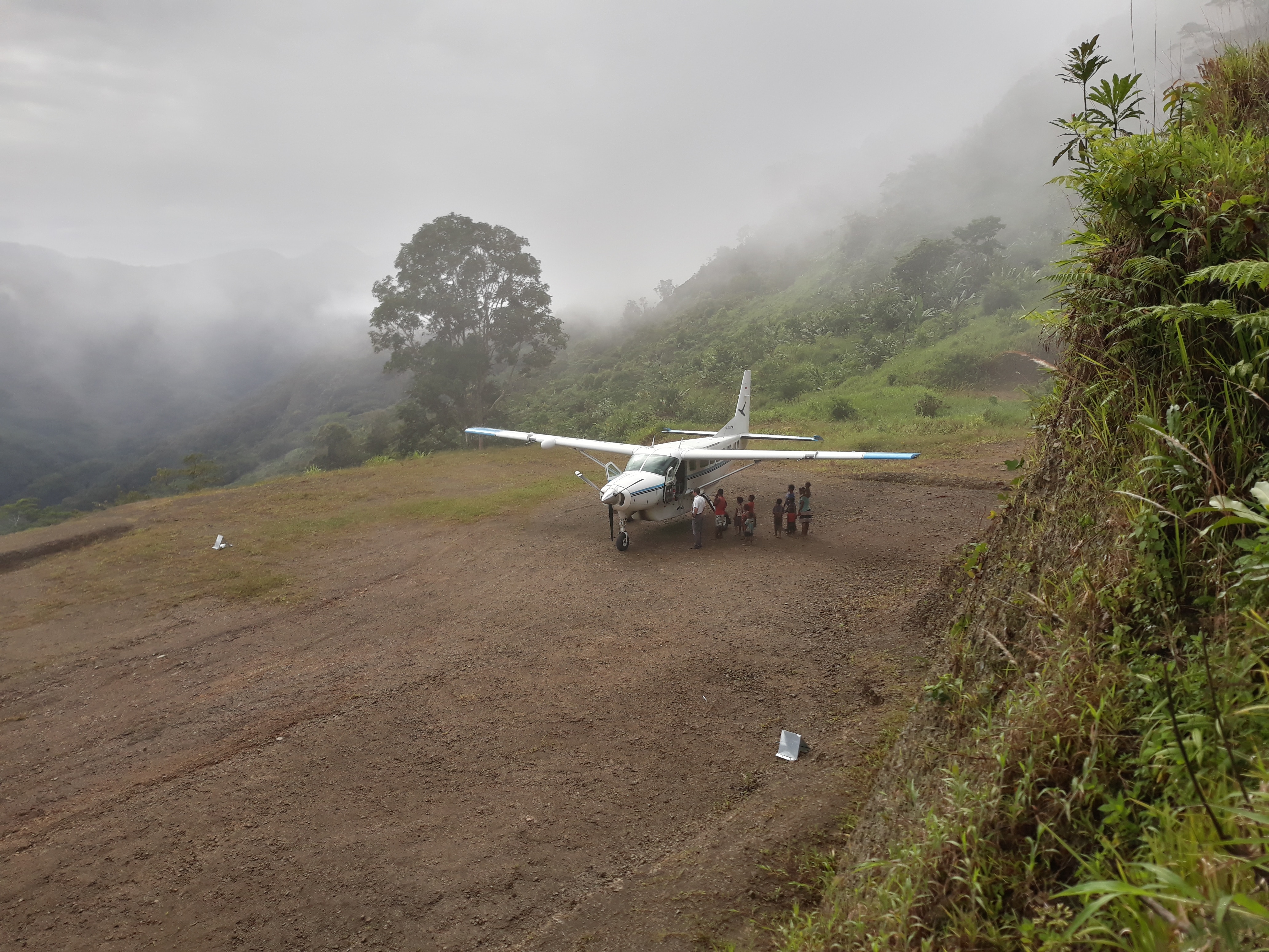
The dedicated Lundo community worked for over 15 years to construct the runway—using only wheelbarrows, pickaxes and pry bars. You can read more about it here.
Time Saved: From YAJASI’s home base in Sentani to Lundo is a 50-minute flight. Overland travel is impossible due to jungle, swamp, mountains, and rugged terrain void of roads. If attempted, it would take several weeks.
The only other practical option for the people at Lundo is a hike of minimally two to three hours to Weime, the next nearest grass runway in the mountains. For YAJASI, Lundo to Weime is a two-minute flight. Borme, which has a school, a clinic that operates intermittently, and a government center, has the closest paved runway. But Borme is much farther than anyone is likely to hike—at least a day or two, even for local people carrying almost nothing with them.
View the runway chart here.